


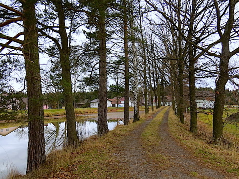
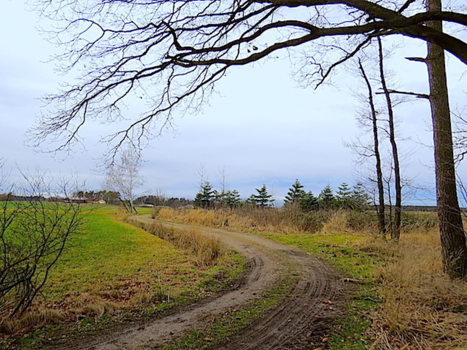
Der Markt Kirchberg am Walde wird von einem mächtigen, noch immer bewohnten Schloss beherrscht. Wir starten vom Nachbarort Hollenstein und wandern Richtung Norden zum Haspelteich. Der Ackerboden ist sehr sandig. Im Hintergrund erkennt man die Kirche von Kirchberg . Vor uns reicht der Blick bis Hirschbach und rechts von uns bis Süßenbach. Die große weite Ebene senkt sich leicht bis zum Haspelteich, der links vor uns liegt. Entlang des Ufers geht es nun bis zur Straße. Bei den Haspelhäusern geht es ein kurzes Stück nach rechts, wo wir links in den Wald abbiegen. Es geht entlang eines alten aber sehr markanten Dammes bis zu einem Durchbruch, wo ein Waldweg durchführt, dem wir links bis zum Waldrand folgen. Am Waldrand halten wir uns rechts und wandern nach Fromberg. Am Weg überqueren wir eine legendäre Landebahn. Hier findet jedes Jahr ein Internationales Fallschirmspringertreffen statt. Im Herbst und Winter haben aber hier die Reiher ihren Landeplatz. Es geht nun rund um den Steinberg mit dem Steinberghaus und zurück Richtung Kirchberg. Wir wandern bei Kirchbach vorbei, überschreiten die Straße und kommen zurück zum Ausgangspunkt.
Mehr Info und Deine Meinung in meinem Wanderblog - schau doch mal vorbei!
Karten:
• Austria Map Ost (BEV)
• freytag & berndt 1:25.000, 4310 - West, Schrems
Further information at
http://www.zwalk.at/Galerie du tour

Carte du tour et altitude
Minimum height 532 m
Maximum height 589 m
More about the tour author
|
|
Jonny |
Commentaires

Per Auto
• nördlich Waidhofen/Thaya, Vitis, Kirchberg am Walde, Hollenstein
• östlich Wien, Horn, Vitis, Kirchberg am Walde, Hollenstein
• südlich Westautobahn A1 Abfahrt Ybbs, Würnsdorf, Ottenschlag, Zwettl, Großhaslau, Kirchberg am Walde
Tracks GPS
Trackpoints-
GPX / Garmin Map Source (gpx) download
-
TCX / Garmin Training Center® (tcx) download
-
CRS / Garmin Training Center® (crs) download
-
Google Earth (kml) download
-
G7ToWin (g7t) download
-
TTQV (trk) download
-
Overlay (ovl) download
-
Fugawi (txt) download
-
Kompass (DAV) Track (tk) download
-
Feuille de tours (pdf) download
-
Original file of the author (gpx) download
More about the tour author
|
|
Jonny |
Add to my favorites
Remove from my favorites
Edit tags
Open track
My score
Rate