


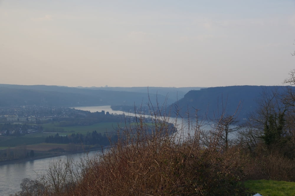
Nach getaner Arbeit wanderte ich vom Rathaus in Linz am Rhein los und suchte mir meinen Weg hoch zumm Sportplatz von Linz am Rhein auf dem Kaiserberg. Von hier genoss ich die Sicht auf den Rhein um dann auf der anderen Seite in das Tälchen abzusteigen. Auf einem Forstweg stieg ich anschließend wieder bis zum Ortsteil Roniger Hof an.
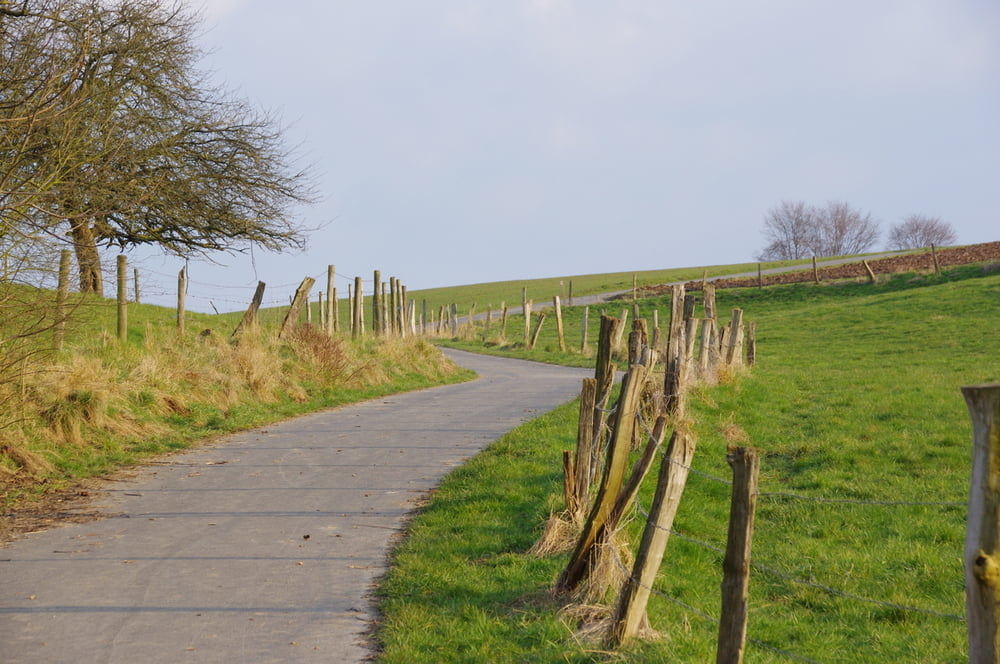
Auf der Höhe hatte ich einen weiten Blick über das Rheintal. Auf den guten Feldwegen wanderte ich anschließend Dattenberg um dann in einem Auf und Ab in Richtung Kaiserbeg zu gehen.
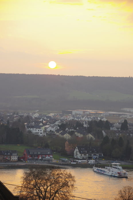
Bei meinem zweiten Anstieg passierte ich die Wirtschaft "Winzerhaus am Kaiserberg" mit seiner schönen Aussicht.
Zurück in Linz folgte ein Abstecher zu EDEKA bevor ich meine Runde abschloß.
Further information at
https://de.wikipedia.org/wiki/MittelrheinGalerie du tour
Carte du tour et altitude
Minimum height 72 m
Maximum height 254 m
More about the tour author
|
|
Pheinz |
Commentaires

Start am Rathaus von Linz am Rhein.
Am Schoppbüchel 5.
53545 Linz am Rhein
Tracks GPS
Trackpoints-
GPX / Garmin Map Source (gpx) download
-
TCX / Garmin Training Center® (tcx) download
-
CRS / Garmin Training Center® (crs) download
-
Google Earth (kml) download
-
G7ToWin (g7t) download
-
TTQV (trk) download
-
Overlay (ovl) download
-
Fugawi (txt) download
-
Kompass (DAV) Track (tk) download
-
Feuille de tours (pdf) download
-
Original file of the author (gpx) download
More about the tour author
|
|
Pheinz |
Add to my favorites
Remove from my favorites
Edit tags
Open track
My score
Rate