
")

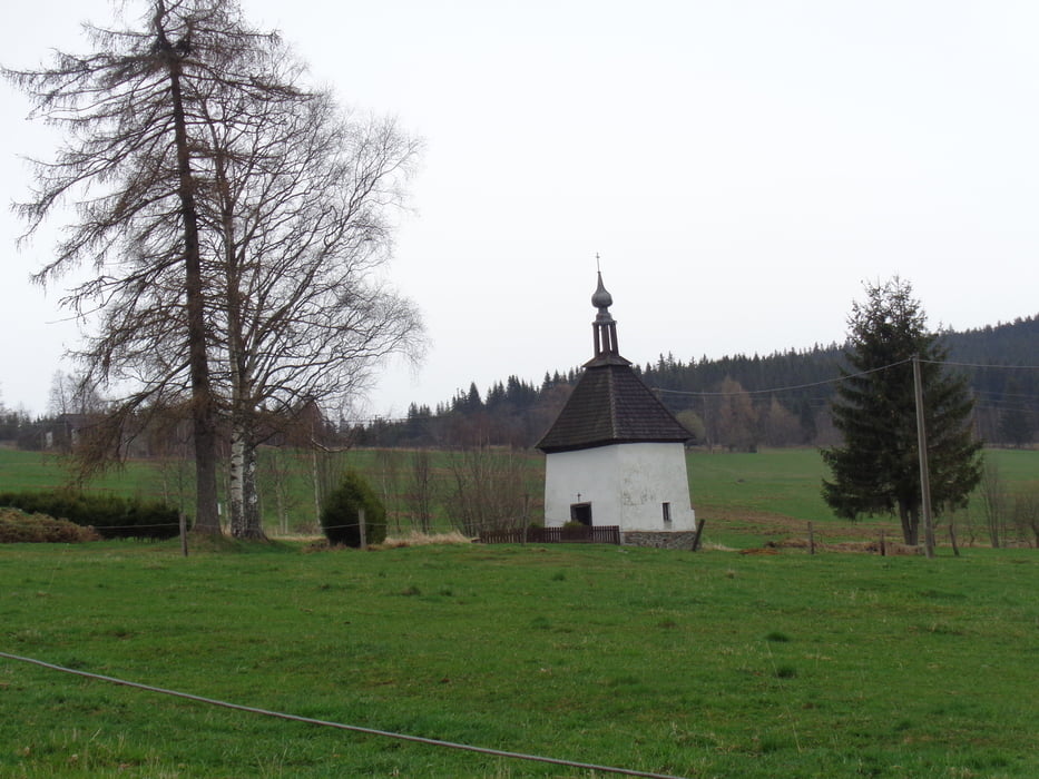
Vom Parkplatz in Borova Lada in Richtung Ortsmitte und dann Richtung Kvilda (grüne Markierung). Vor dem Informationszentrum rechts über einen Bohlenweg zum Moorsee. Zurück zum Zentrum, weiter rechts bis zum Punkt Pod Zverinem. Hier rechts auf der Straße weiter zum Weiler Sindlov (kleine Kapelle).
Nun der gelben und roten Markierung über die Wiese zum Waldrand folgen, auf der Forststraße bis zum Punkt Pod Kamennou. Rechts auf der Asphaltstraße weiter bis zum flachen Gipfel des Bukovec. Hier rechts hinunter zum Waldrand und rechts zum kleinen Rastplatz Alpska Vyhlidka. Jetzt entweder zurück zur Waldstraße und zur Kreuzung und dann mit der grünen Markierung weiter; oder gleich direkt am Waldrand hinunter zur Straße. Die grüne Markierung führt uns zurück zum Ausgangspunkt.
Ausgezeichnet beschildert und markiert!
Galerie du tour
Carte du tour et altitude
Minimum height 877 m
Maximum height 1096 m

Commentaires

Von Freyung über die Grenze auf der 4 nach Horni Vltavice. Hier kurz vor dem Ortsende links ab nach Borova Lada.
Tracks GPS
Trackpoints-
GPX / Garmin Map Source (gpx) download
-
TCX / Garmin Training Center® (tcx) download
-
CRS / Garmin Training Center® (crs) download
-
Google Earth (kml) download
-
G7ToWin (g7t) download
-
TTQV (trk) download
-
Overlay (ovl) download
-
Fugawi (txt) download
-
Kompass (DAV) Track (tk) download
-
Feuille de tours (pdf) download
-
Original file of the author (gpx) download
Add to my favorites
Remove from my favorites
Edit tags
Open track
My score
Rate