
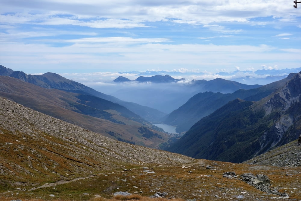

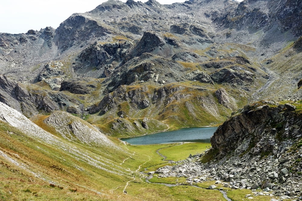
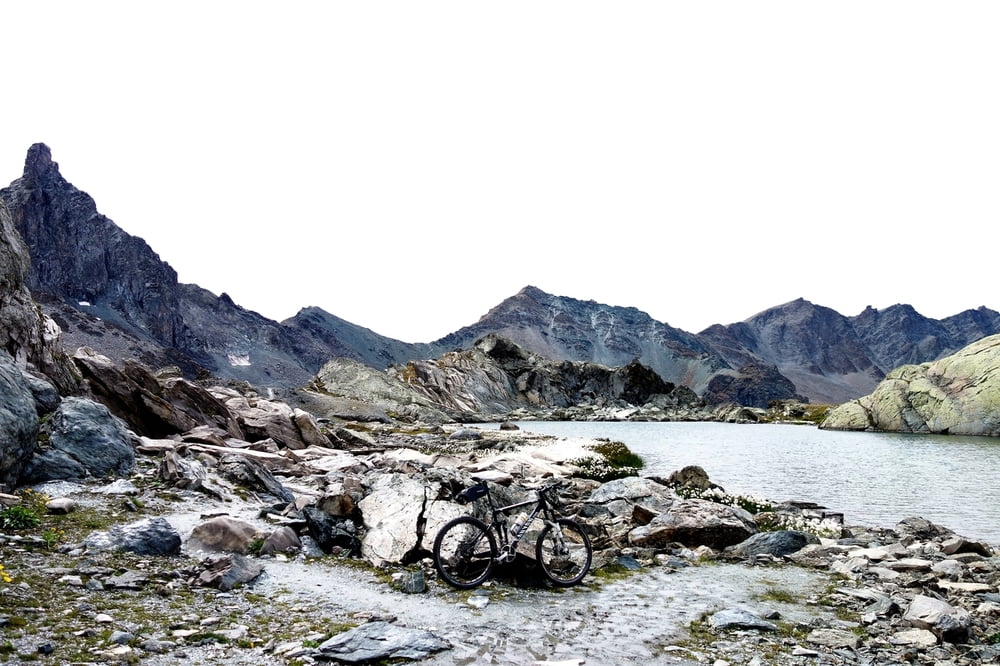
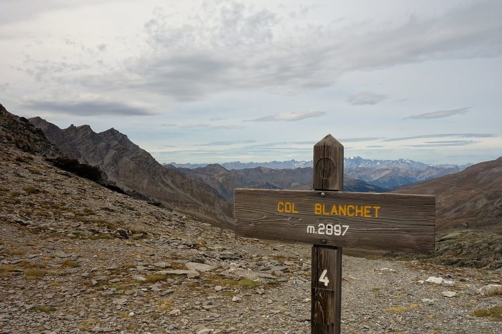
Vierpässetour am Col Angel. Lange Auffahrt auf Teer zum Col Agnel hoch und dann nochmals in das Tal von Veran oben rein, einiges zu schieben, aber traumhafte Aussichten, schöne Abfahrt über Traumtrails zurück nach Casteldelfino.
Galerie du tour
Carte du tour et altitude
Minimum height 1317 m
Maximum height 2882 m
More about the tour author
|
|
haaaatz |
Commentaires

Tracks GPS
Trackpoints-
GPX / Garmin Map Source (gpx) download
-
TCX / Garmin Training Center® (tcx) download
-
CRS / Garmin Training Center® (crs) download
-
Google Earth (kml) download
-
G7ToWin (g7t) download
-
TTQV (trk) download
-
Overlay (ovl) download
-
Fugawi (txt) download
-
Kompass (DAV) Track (tk) download
-
Feuille de tours (pdf) download
-
Original file of the author (gpx) download
More about the tour author
|
|
haaaatz |
Add to my favorites
Remove from my favorites
Edit tags
Open track
My score
Rate