Login

Login oublié ?

Cookies have to be accepted!
Your browser's cookie functionality is disabled. Please enable this functionality.

Not a member yet?

Register now
Login

Available for registred users only

Log in to use this feature.

Login oublié ?

Cookies have to be accepted!
Your browser's cookie functionality is disabled. Please enable this functionality.

Not a member yet?

Register now
Filter
Catégories
Advanced filters
  • Longueur (km)
  • Altimètre
Enregistrer le filtre Reset filter

TrackRank

QRCode

Technical data

Longueur13,8 km Altimètre771 m Way down906 m Durée03:00 h:m Date10.08.2017
Evaluations Author Paysage Aspect amusement Condition Technique

Statistiques

182 Vues Evaluations 43 Téléchargements Moyenne
Rate
  • Feuille de tours
  • Arrivée
  • Téléchargements

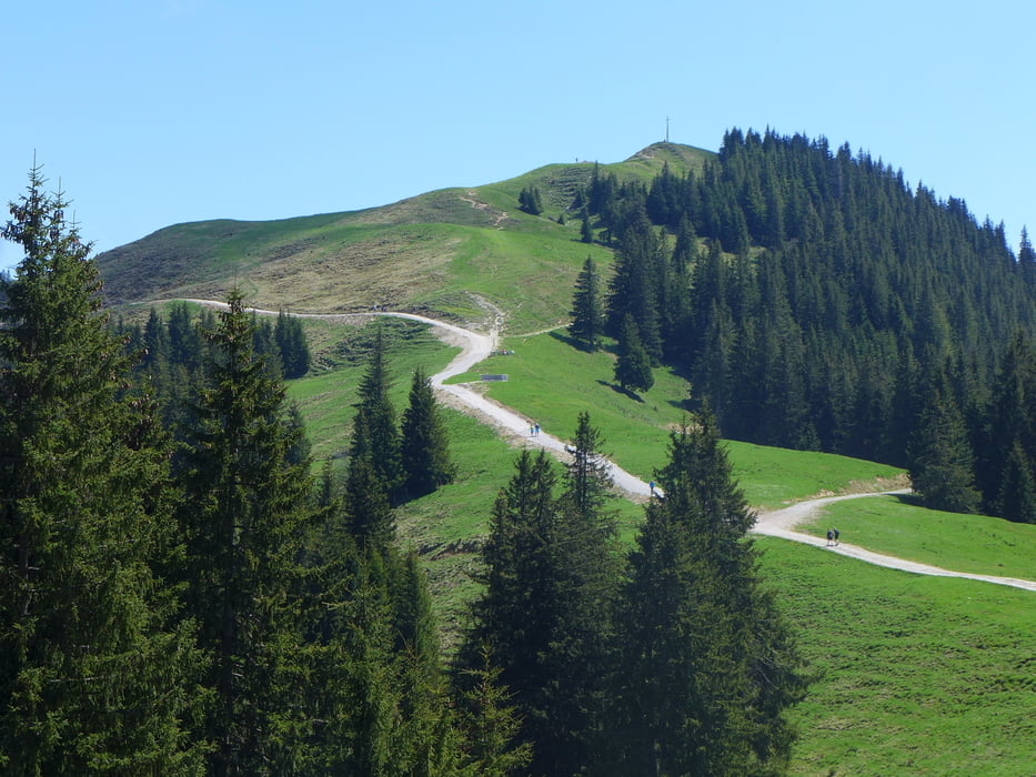
Bf. Bad Kohlgrub (– Hörnlebahn) – Zeitberg – Hinteres Hörnle – Bf. Grafenaschau

Von den angegebenen 771 Höhenmetern werden 500 mit der Seilbahn überwunden.
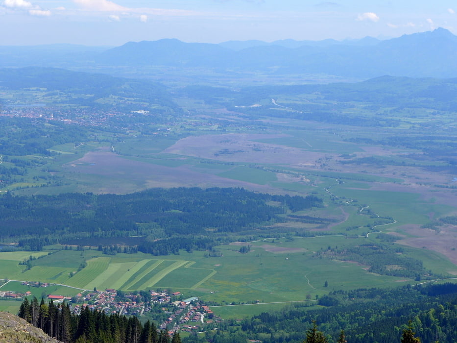
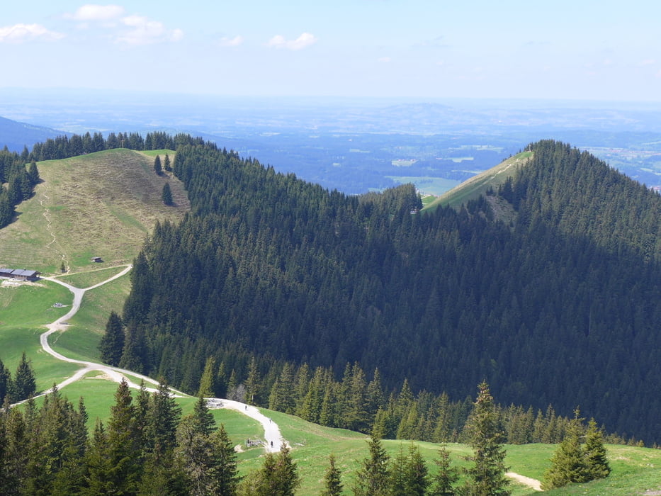
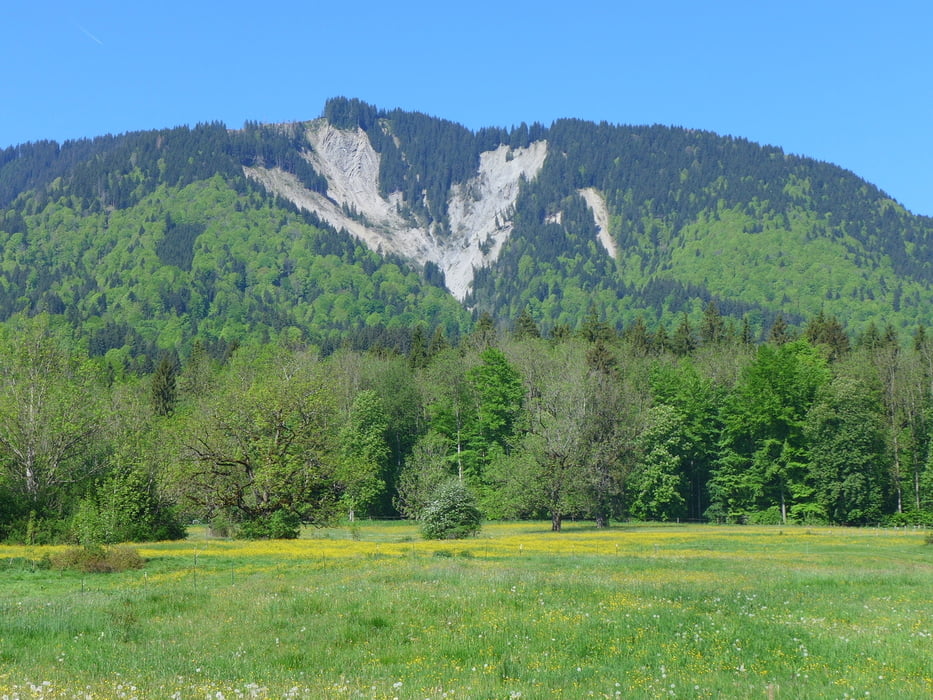
Galerie du tour

Carte du tour et altitude

  • Open Street Map
  • Google
Minimum height 639 m Maximum height 1515 m Vue de détail

More about the tour author

lothardomnik
Member since 2009

Send private message

Commentaires

Züge im Stundentakt zwischen Bad Kohlgrub und Grafenaschau

Tracks GPS

Trackpoints
  • GPX / Garmin Map Source (gpx) download
  • TCX / Garmin Training Center® (tcx) download
  • CRS / Garmin Training Center® (crs) download
  • Google Earth (kml) download
  • G7ToWin (g7t) download
  • TTQV (trk) download
  • Overlay (ovl) download
  • Fugawi (txt) download
  • Kompass (DAV) Track (tk) download
  • Feuille de tours (pdf) download
  • Original file of the author (gpx) download

More about the tour author

lothardomnik
Member since 2009

Send private message
Share track
Add to my favorites
Remove from my favorites
Edit tags
My score
Rate
Tour: Oberbayern: Hörnle
Cat.: Randonnées
Longueur: 13,8 km
Evaluated on:
Durée:
Day(s)
Hour(s)
Minute(s)
Evaluation: Paysage Aspect amusement Condition Technique