


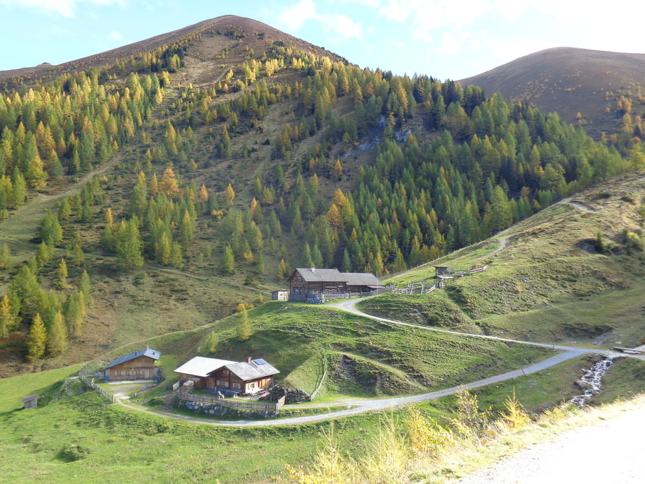
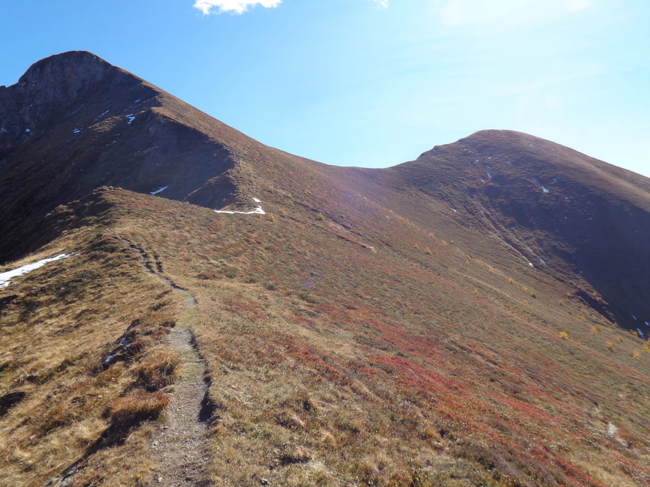
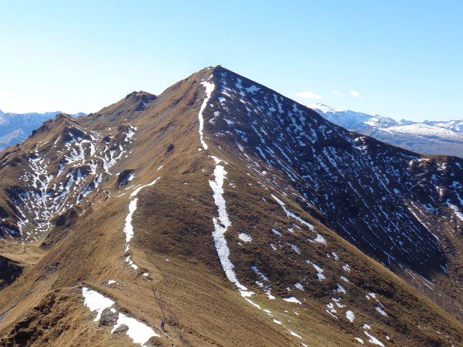
Vom Parkplatz nach dem Cafe auf dem Weg 513 in 1 1/2 Std. hinauf zur Rastötzenalm. Von hier nördlich empor in 1 1/4 Std. auf die Schmalzscharte. Weiter in südöstl. Richtung über den Tennkogel hinunter zum Frauenkar und hinauf zum Frauenkogel (1 Std.). In einer weiteren Stunde ist der Gamskarkogel erreicht. Abermals 1 Std. braucht man zum Rauchkogel.
Jetzt entweder zurück zur Scharte und hinunter zur Rastötzenalm.
Ein unmarkierter Pfad führt auch direkt hinunter zur Almstraße und zurück zum Ausgangspunkt (2 Std.).
Aber: Der Pfad ist nicht immer deutlich erkennbar und nur für geübte Wanderer empfehlenswert.
Galerie du tour
Carte du tour et altitude
Minimum height 1058 m
Maximum height 2475 m

Commentaires

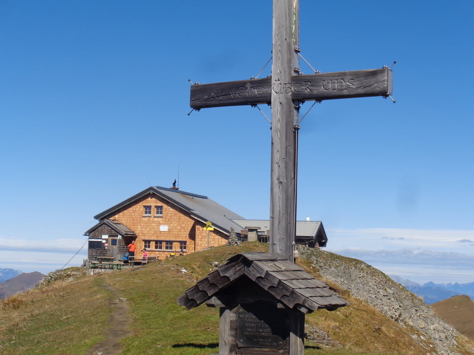
Im Gasteiner Tal bei Bad Hofgastein den ersten Kreisverkehr ins Zentrum, der Beschilderung zum Annencafe hinauf nach Kronwald folgen.
Tracks GPS
Trackpoints-
GPX / Garmin Map Source (gpx) download
-
TCX / Garmin Training Center® (tcx) download
-
CRS / Garmin Training Center® (crs) download
-
Google Earth (kml) download
-
G7ToWin (g7t) download
-
TTQV (trk) download
-
Overlay (ovl) download
-
Fugawi (txt) download
-
Kompass (DAV) Track (tk) download
-
Feuille de tours (pdf) download
-
Original file of the author (gpx) download
Add to my favorites
Remove from my favorites
Edit tags
Open track
My score
Rate