


Vogesencross im September 2017
- Etappe 01: Chatenois - Aubure [31 km, 1.074 hm]
- Etappe 02: Aubure - Col di Calvaire [27 km, 1.080 hm]
- Etappe 03: Col du Calvaire - Auberge Steinlebach [34 km, 781 hm]
- Etappe 04: Auberge Steinlebach - Petit Ballon - Auberge Steinlebach [26 km, 639 hm]
- Etappe 05: Auberge Steinlebach - Grand Ballon - Thann [32 km, 584 hm]
- Etappe 06: Thann - Bahnhof Rouffach [32 km, 162 hm]
--> weitere Etappen und etwas ausführliche Beschreibung folgen -
[Der Track wurde mit Strava aufgezeichnet - die Höhenmeterangaben sind sowohl in Strava als auch hier mit Vorsicht zu genießen]
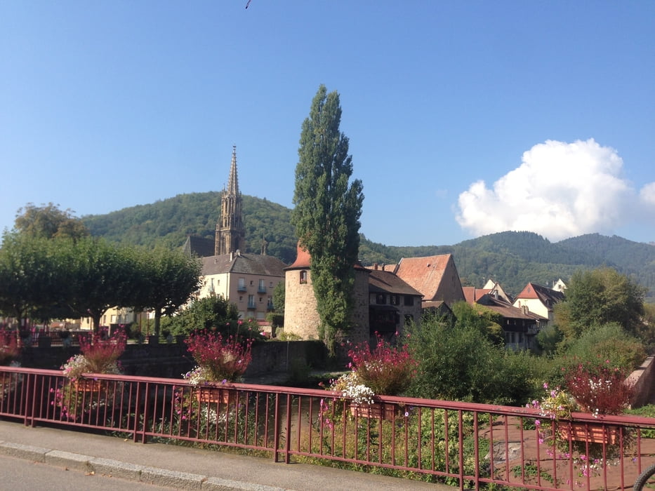
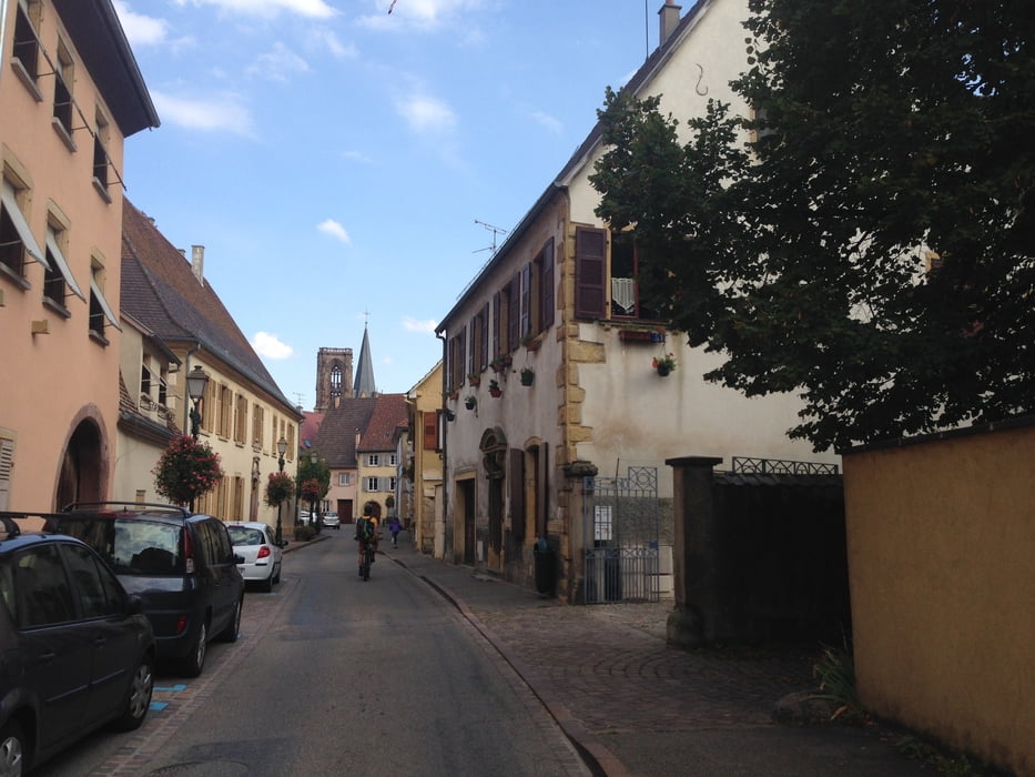
Erholsame Flachetappe nach 5 tägigem Vogesencross zum Bahnhof Rouffach mit Zwischenstopp am Weinfest in Wuenheim.
Der Singeltrailanteil dieses Tourabschnitts ist nahezu Null, jedoch führt die Tour auf ruhigen Schleichwegen mit relativ viel Schotteranteil und schönen Ausblicken entlang der Weindörfer.
Von Rouffach aus zurück zum Bahnhof Selestadt. Von dort wenige km nach Catenois zum Auto.
PS:
Falls jemanden die Tracks und Beschreibungen für die Planung seines eigenen Vogesenabenteuers hilfreich waren, würde ich mich über ein Feedback freuen!
Galerie du tour
Carte du tour et altitude
Minimum height 198 m
Maximum height 409 m
More about the tour author
|
|
Flitz |
Commentaires

Tracks GPS
Trackpoints-
GPX / Garmin Map Source (gpx) download
-
TCX / Garmin Training Center® (tcx) download
-
CRS / Garmin Training Center® (crs) download
-
Google Earth (kml) download
-
G7ToWin (g7t) download
-
TTQV (trk) download
-
Overlay (ovl) download
-
Fugawi (txt) download
-
Kompass (DAV) Track (tk) download
-
Feuille de tours (pdf) download
-
Original file of the author (gpx) download
More about the tour author
|
|
Flitz |
Add to my favorites
Remove from my favorites
Edit tags
Open track
My score
Rate