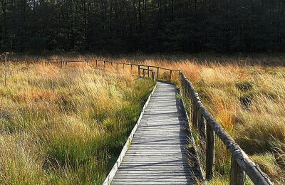
 Wiederbelebung eines Moores
Der im Zuge der Renaturierungsarbeiten angelegte Bodenlehrpfad hat eine ungefähre Länge von 4,5 km und gewährt Ihnen u.a. auf einem ca. 0,7 km langen Holzsteg Einblicke in das Todtenbruch-Moor.Das Gebiet ist aus mehreren Gesichtspunkten interessant, so befinden sich u.a. fünf Quellen im Moorbereich und es lässt sich an einigen Stellen nachvollziehen, dass dort früher einmal Torf gestochen worden ist. Auch ist ein sogenannter "Pingo", eine eiszeitliche Vertiefung, hier zu sehen. In absehbarer Zeit werden im "Todtbruch" auch wieder typische Moorpflanzen wie die rosa blühende Glockenheide, das weiß fruchtende, flauschige Wollgras und der fleischfressenden Sonnentau anzutreffen sein.Am Ausgangspunkt des Bodenlehrpfades wurde ein separater Parkplatz angelegt. Zur Tour gibt es auch einen wander begleitenden Flyer, siehe auch unten aufgeführt PDF-Datei. Am Ausgangspunkt des Bodenlehrpfades wurde ein separater Parkplatz angelegt. (B399 Ausgangs Vossenack, Richtung Lammersdorf).
Flyer zur Tour: Download
Weitere Touren: Vossenack
Further information at
http://der-eifelyeti.de/2017/02/21/todtenbruch-moor/Carte du tour et altitude
Commentaires

Tracks GPS
Trackpoints-
GPX / Garmin Map Source (gpx) download
-
TCX / Garmin Training Center® (tcx) download
-
CRS / Garmin Training Center® (crs) download
-
Google Earth (kml) download
-
G7ToWin (g7t) download
-
TTQV (trk) download
-
Overlay (ovl) download
-
Fugawi (txt) download
-
Kompass (DAV) Track (tk) download
-
Feuille de tours (pdf) download
-
Original file of the author (gpx) download

