


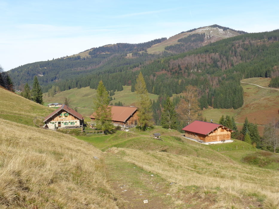
Vom Skiliftparkplatz ca. 1/2 Std. entlang der Straße hinauf zum Lasserbauern. Hier auf dem Pfad durch den Wald hinauf zur Forststraße und auf dieser weiter der Beschilderung folgen zur Ladenbergalm (1 1/2 Std.). Weiter hinauf in den Sattel zwischen Berg- und Sattelköpfel. Kurz vor der Bergalm (oder nach Besuch dieser) scharf rechts und nahezu eben in den Sattel vor dem Schmittenstein (1 Std.).
Hier links ab und in einer weiteren 1/2 Std. hinunter zur Zisterbergalm. Auf dem Fahrweg hinunter bis zur Kurve, hier geradeaus weiter (Tafel Gaißau) bis zum Talgrund. Nach der Brücke rechts hinauf (Ois-Gaißau) und auf der Straße kurz zurück zum Parkplatz (1 1/4 Std.).
Further information at
http://www.krispl-gaissau.atGalerie du tour
Carte du tour et altitude
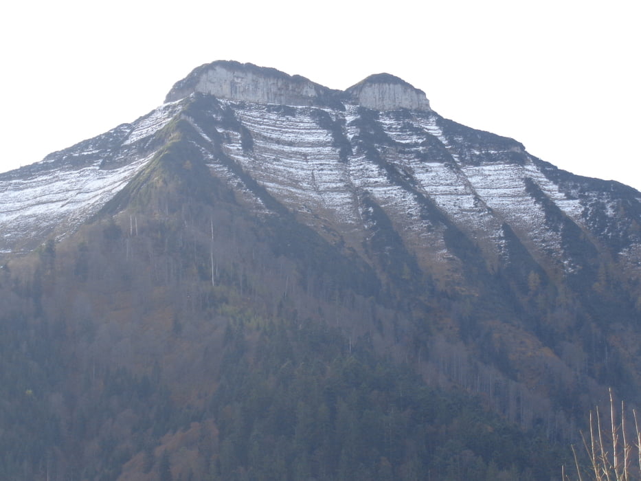
Minimum height 759 m
Maximum height 1320 m

Commentaires

Von Hallein oder Ebenau auf der Wiestal-Straße bis zur Abzweigung nach Gaißau-Krispl. In Gaißau links und hoch zum Skiliftparkplatz.
Tracks GPS
Trackpoints-
GPX / Garmin Map Source (gpx) download
-
TCX / Garmin Training Center® (tcx) download
-
CRS / Garmin Training Center® (crs) download
-
Google Earth (kml) download
-
G7ToWin (g7t) download
-
TTQV (trk) download
-
Overlay (ovl) download
-
Fugawi (txt) download
-
Kompass (DAV) Track (tk) download
-
Feuille de tours (pdf) download
-
Original file of the author (gpx) download
Add to my favorites
Remove from my favorites
Edit tags
Open track
My score
Rate