
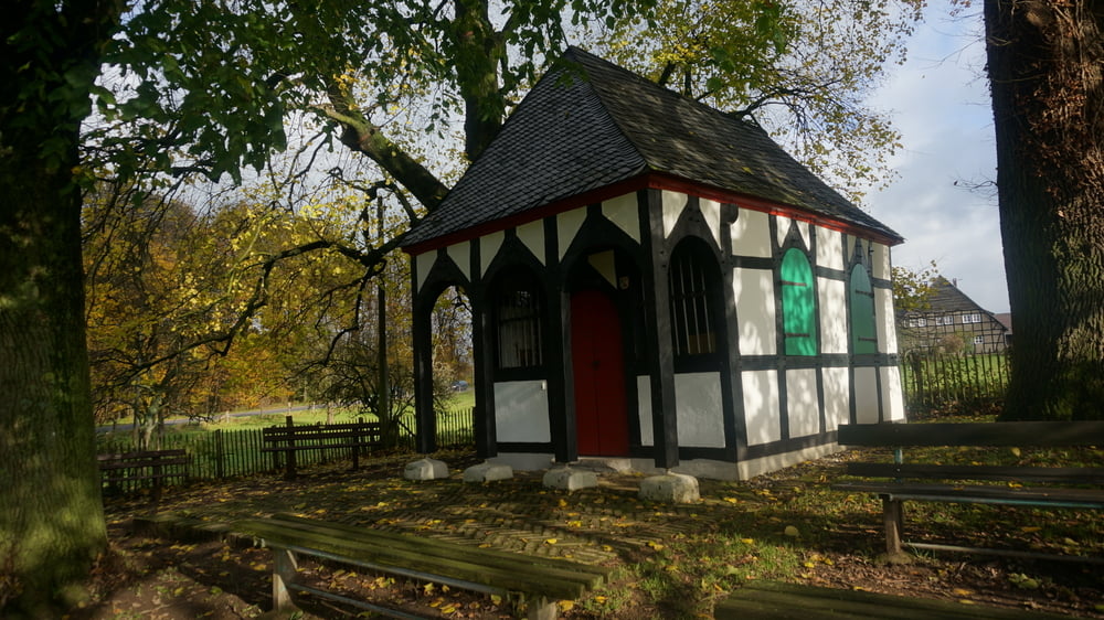

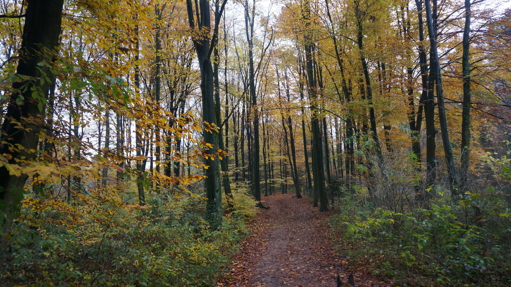
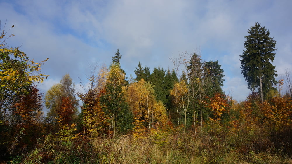
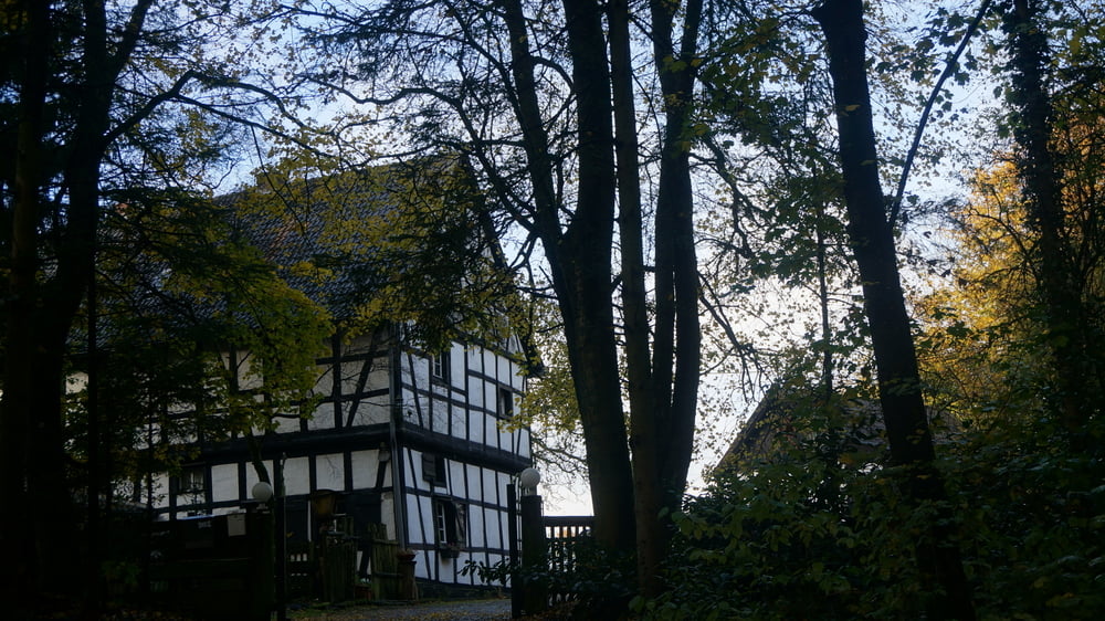
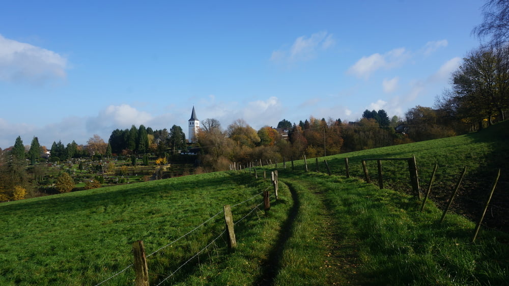
Die Hardt ist ein unter Naturschutz stehendes Waldgebiet innerhalb der Stadt Bergisch Gladbach. Der abwechslungs- und aussichtsreiche Weg führt durch Wald und am Rande liegende kleine Ortsteile hindurch. Weitere Beschreibung und Fotos s. Link zur Homepage.
Further information at
http://www.sudowe.eu/index.php/renate-s-blog/beitraege-2017/250-rundwanderung-durch-das-nsg-hardtGalerie du tour
Carte du tour et altitude
Minimum height 108 m
Maximum height 229 m
More about the tour author
|
|
Renatelev |
Commentaires

Bergisch Gladbach, Lerbacher Weg 25 ist die Adresse des TÜV. Dahinter am Randstreifen neben einer Kleingartenanlage kann man kostenlos parken und gelangt direkt auf den Wanderweg.
Tracks GPS
Trackpoints-
GPX / Garmin Map Source (gpx) download
-
TCX / Garmin Training Center® (tcx) download
-
CRS / Garmin Training Center® (crs) download
-
Google Earth (kml) download
-
G7ToWin (g7t) download
-
TTQV (trk) download
-
Overlay (ovl) download
-
Fugawi (txt) download
-
Kompass (DAV) Track (tk) download
-
Feuille de tours (pdf) download
-
Original file of the author (gpx) download
More about the tour author
|
|
Renatelev |
Add to my favorites
Remove from my favorites
Edit tags
Open track
My score
Rate