Login

Login oublié ?

Cookies have to be accepted!
Your browser's cookie functionality is disabled. Please enable this functionality.

Not a member yet?

Register now
Login

Available for registred users only

Log in to use this feature.

Login oublié ?

Cookies have to be accepted!
Your browser's cookie functionality is disabled. Please enable this functionality.

Not a member yet?

Register now
Filter
Catégories
Advanced filters
  • Longueur (km)
  • Altimètre
Enregistrer le filtre Reset filter

TrackRank

QRCode

Technical data

Longueur10,3 km Altimètre545 m Way down530 m Durée00:00 h:m Date06.01.2018
Evaluations Author Paysage Aspect amusement Condition Technique

Statistiques

491 Vues Evaluations 13 Téléchargements Moyenne
Rate
  • Feuille de tours
  • Arrivée
  • Téléchargements

Start der Schneeschuhtour am Parkplatz Oberschwarzenberg

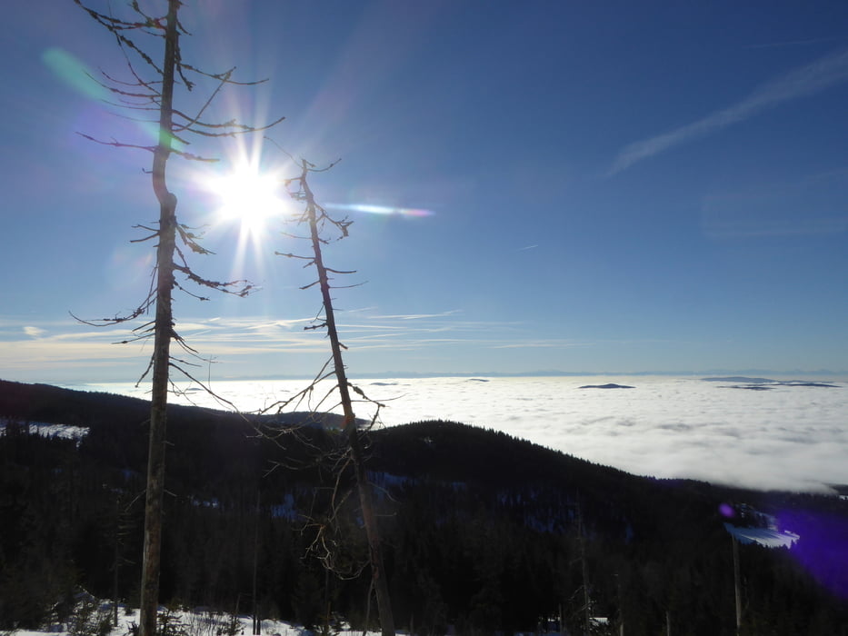
Aufstieg über das Steinerne Meer zum Dreiländereck

Weiter am Böhmerwaldhauptkamm zum Plöckenstein ... hochste Erhebung im Mühlviertel 

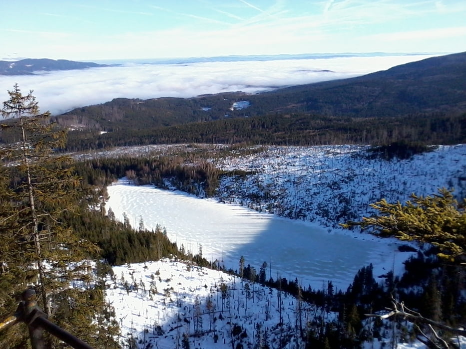
kurzer Abstecher in die CZ zum Adalbert Stifterdenkmal ... der Obelisk überm Plöckensteinersee 

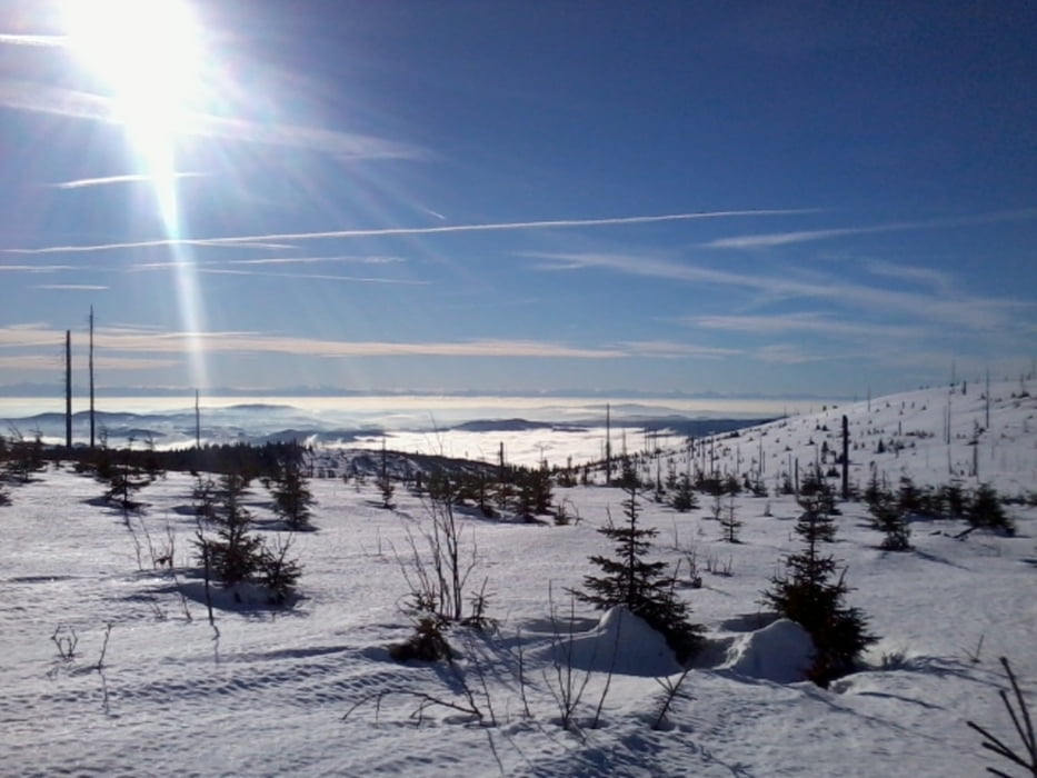
vom Plöckenstein querfeldein retour und vorbei an der Teufelsschüssel zum Parkplatz Oberschwarzenberg 


Galerie du tour

Carte du tour et altitude

  • Open Street Map
  • Google
Minimum height 916 m Maximum height 1381 m Vue de détail

More about the tour author

Hoar
Member since 2009

Send private message

Commentaires

Tracks GPS

Trackpoints
  • GPX / Garmin Map Source (gpx) download
  • TCX / Garmin Training Center® (tcx) download
  • CRS / Garmin Training Center® (crs) download
  • Google Earth (kml) download
  • G7ToWin (g7t) download
  • TTQV (trk) download
  • Overlay (ovl) download
  • Fugawi (txt) download
  • Kompass (DAV) Track (tk) download
  • Feuille de tours (pdf) download
  • Original file of the author (gpx) download

More about the tour author

Hoar
Member since 2009

Send private message
Share track
Add to my favorites
Remove from my favorites
Edit tags
My score
Rate
Tour: Plöckenstein und Adalbert Stifter Obelisk Dreiländereck
Cat.: Raquette
Longueur: 10,3 km
Evaluated on:
Durée:
Day(s)
Hour(s)
Minute(s)
Evaluation: Paysage Aspect amusement Condition Technique