


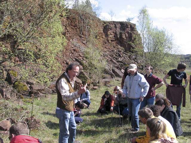
Eine Naturwanderung mitten im Schutzgebiet. Zuerst sieht man Pionierpflanzen auf dem kahlen Boden (Erzabbaugebiet). Dann kommen erste Kräuter und mit ihnen die Insekten. Stellenweise riecht es nach "Provence". Dann wachsen erste Pionierbäume und dann kommt man mitten in den jungen Wald (Orchideen). Insgesamt also für Naturfreunde und Biologen eine wunderschöne gemütliche Tour wenn das Wetter gut ist.
Galerie du tour

Carte du tour et altitude
Minimum height 345 m
Maximum height 434 m
More about the tour author
|
|
Charel |
Commentaires

Ab Esch in Richtung Kayl zum "Kayler Poteau". Dort gibt es Parkmöglichkeiten.
Tracks GPS
Trackpoints-
GPX / Garmin Map Source (gpx) download
-
TCX / Garmin Training Center® (tcx) download
-
CRS / Garmin Training Center® (crs) download
-
Google Earth (kml) download
-
G7ToWin (g7t) download
-
TTQV (trk) download
-
Overlay (ovl) download
-
Fugawi (txt) download
-
Kompass (DAV) Track (tk) download
-
Feuille de tours (pdf) download
-
Original file of the author (gpx) download
More about the tour author
|
|
Charel |
Add to my favorites
Remove from my favorites
Edit tags
Open track
My score
Rate