


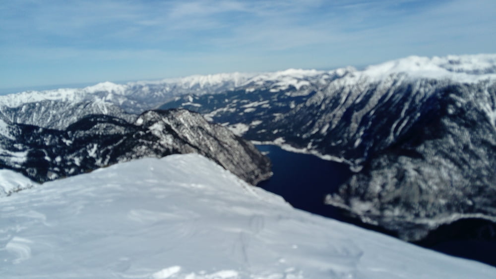
Von der Talstation der 3. Teilstrecke hinunter zur Gjaidalm. Weiter Richtung Wiesberghaus, bis links die Stangenmarkierung vom Oberfeld einmündet. Hier rechts ab. Bei der Felswand die Steilstufe je nach Verhältnissen durch die Mulde umgehen und hinauf auf den Sattel. Es geht flach weiter auf einen weitern kleinen Sattel. Hier rechts und über den flachen Südrücken auf den Zwölferkogel.
Für den Rückweg den Rücken auf halber Höhe verlassen und ostseitig hinunter und dann in leichtem Auf und Ab zur Gjaidalm und zur Talstation.
Further information at
http://www.dachstein-salzkammergut.comGalerie du tour
Carte du tour et altitude
Minimum height 1700 m
Maximum height 1981 m

Commentaires

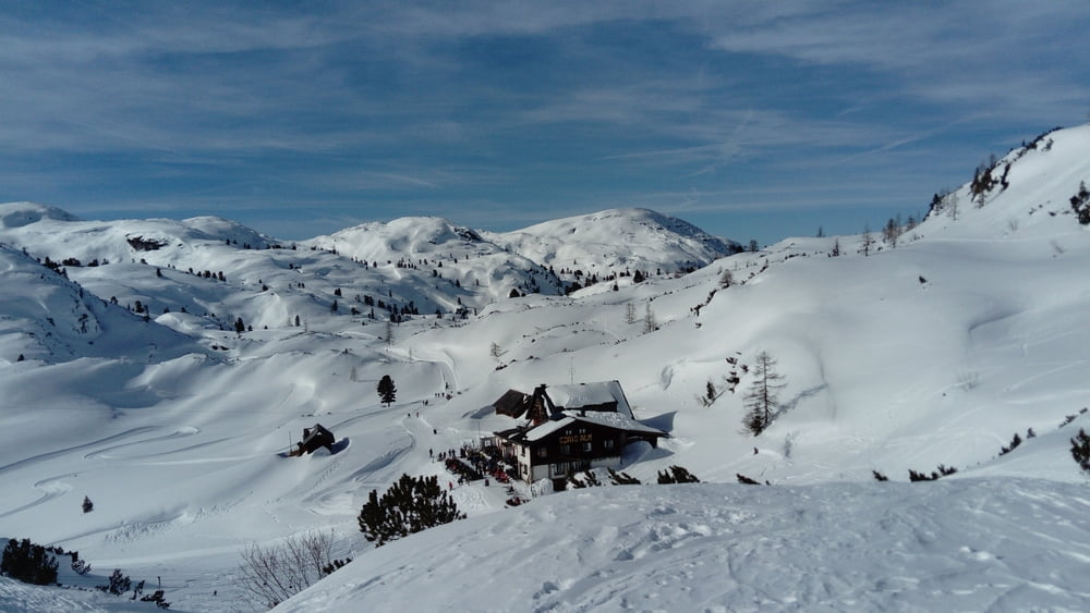
Von Gmunden nach Bad Ischl, Bad Goisern, Hallstatt nach Obertraun. Vor der Brücke rechts hinauf zum großen Parkplatz der Seilbahn.
Tracks GPS
Trackpoints-
GPX / Garmin Map Source (gpx) download
-
TCX / Garmin Training Center® (tcx) download
-
CRS / Garmin Training Center® (crs) download
-
Google Earth (kml) download
-
G7ToWin (g7t) download
-
TTQV (trk) download
-
Overlay (ovl) download
-
Fugawi (txt) download
-
Kompass (DAV) Track (tk) download
-
Feuille de tours (pdf) download
-
Original file of the author (gpx) download
Add to my favorites
Remove from my favorites
Edit tags
Open track
My score
Rate