


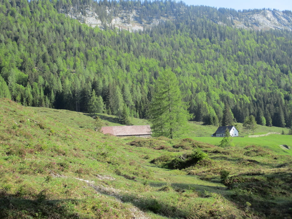
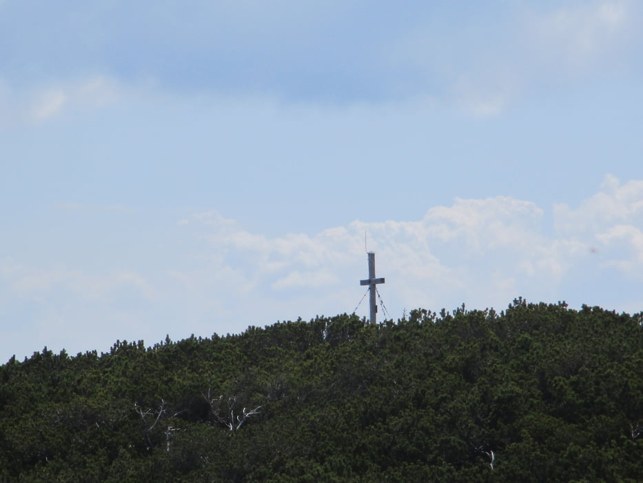
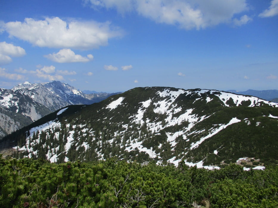
Vom Haslersgatter geht es nach Norden auf der Forststraße vorbei an der Rumplmayrreuth hinunter zum Biwakplatz zur Kreuzung Steyrsteg. Den Wegschildern folgend hinauf zur Weingartalm (1 1/4 Std.). Jetzt in Kehren den Wald hinauf ins Halterhüttental. Oben rechts und kurz darauf beim Gipfelkreuz des Großen Größtenberg (1 1/2 Std.).
Nach dem Abstieg zurück zur Weingartalm und links weiter Richtung Windischgarsten. Nach zwei Steigungen werden die Wiesen der verf. Groißnalm erreicht. Vorbei an einer Quelle wird bald darauf eine Forststraße erreicht. Hier rechts einschwenken und zurück zum Ausgangspunkt.
Further information at
https://www.nationalparkregion.com/Galerie du tour
Carte du tour et altitude
Minimum height 944 m
Maximum height 1730 m

Commentaires

Zum Wanderparkplatz am Haslersgatter etwa 1 km nach Windischgarsten Richtung Rosenau am Hengspass nach links abzweigen und der Straße Richtung Wurbauerkogel folgen. Weiter Richtung Bergbauern-Reith und Muttling. Bei der Kapelle beginnt links die Schotterstraße zum Parkplatz.
Tracks GPS
Trackpoints-
GPX / Garmin Map Source (gpx) download
-
TCX / Garmin Training Center® (tcx) download
-
CRS / Garmin Training Center® (crs) download
-
Google Earth (kml) download
-
G7ToWin (g7t) download
-
TTQV (trk) download
-
Overlay (ovl) download
-
Fugawi (txt) download
-
Kompass (DAV) Track (tk) download
-
Feuille de tours (pdf) download
-
Original file of the author (gpx) download
Add to my favorites
Remove from my favorites
Edit tags
Open track
My score
Rate