
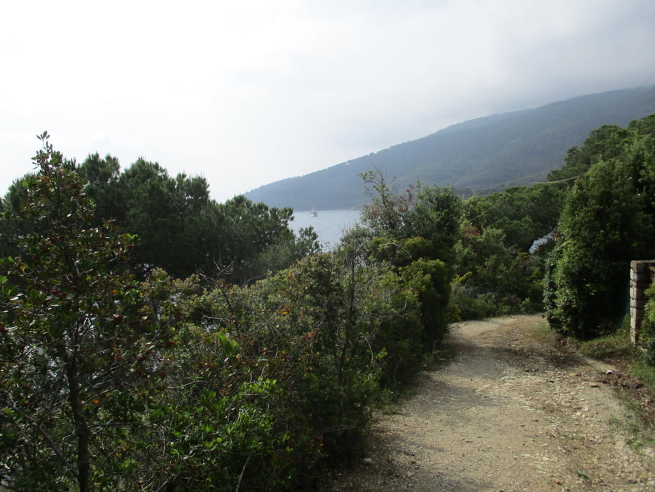

Wir beginnen die Wanderung von unserem Stützpunkt, dem Hotel Elba International und wandern hinunter nach Naregno, von dort am Strandende hoch zum Forte Forcado und wieder hinunter zum Strand Straccolignino. Hier zur Zufahrtsstraße und links weiter vorbei an einem Campingplatz. Der Weg schlängelt sich die Küste entlang bis zum Kap der Punta die Buzzancone.
Hier scharf rechts aufwärts und in zahlreichen Serpentinen zum Fuß des Monte Le Torricelle. Bei der Kreuzung links abwärts zum Landgut Tenute delle Ripalte. Hier wieder links bis zu einem Haus von Capo Calvo. Abstieg zum Strand möglich.
Weiter auf der Straße zurück nach Straccolignino und zum Hotel.
Einstieg der Wanderung auch in Straccolignino möglich. Hierher von Capoliveri beschildert.
Diese Wanderung ist auch im Kompass-Wanderführer ELBA enthalten.
Carte du tour et altitude
Minimum height -7 m
Maximum height 293 m

Commentaires

Von Porto Azzurro Richtung Capoliveri. Am Ende der Bucht links nach Naregno.
Tracks GPS
Trackpoints-
GPX / Garmin Map Source (gpx) download
-
TCX / Garmin Training Center® (tcx) download
-
CRS / Garmin Training Center® (crs) download
-
Google Earth (kml) download
-
G7ToWin (g7t) download
-
TTQV (trk) download
-
Overlay (ovl) download
-
Fugawi (txt) download
-
Kompass (DAV) Track (tk) download
-
Feuille de tours (pdf) download
-
Original file of the author (gpx) download
Add to my favorites
Remove from my favorites
Edit tags
Open track
My score
Rate