


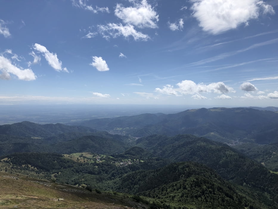
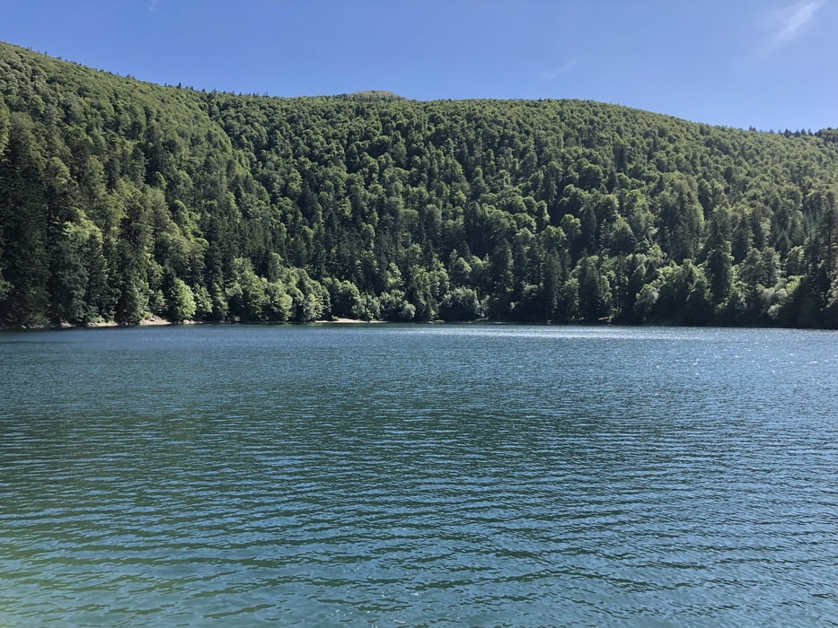
Start war in Metzeral. Über Feld- und Waldpassagen ging es zum höchsten Punkt der Vogesen, auf den Grand Ballon. Das letzte Stück wurde zu Fuß zurück gelegt, da dort Radverbot herrscht. Die Abfahrt ist aufgrund des Untergrunds (Steine) leider weniger flowig als erhofft. Der Lac du Ballon lädt zur Rast ein.
Ziel war Soultzmatt. Wir haben hier im Hotel Klein gewohnt. Dazu kann ich nur eins sagen: unterirdisch! Tuts euch nicht an. Was ich dagegen sehr empfehlen kann, ist die Pizzeria L´Entr´Potes.
Galerie du tour
Carte du tour et altitude
Minimum height 262 m
Maximum height 1427 m
More about the tour author

|
klixx |
Commentaires

Tracks GPS
Trackpoints-
GPX / Garmin Map Source (gpx) download
-
TCX / Garmin Training Center® (tcx) download
-
CRS / Garmin Training Center® (crs) download
-
Google Earth (kml) download
-
G7ToWin (g7t) download
-
TTQV (trk) download
-
Overlay (ovl) download
-
Fugawi (txt) download
-
Kompass (DAV) Track (tk) download
-
Feuille de tours (pdf) download
-
Original file of the author (gpx) download
More about the tour author
|
|
klixx |
Add to my favorites
Remove from my favorites
Edit tags
Open track
My score
Rate