


Vom Parkplatz auf der Asphaltstraße am Prielergut vorbei. Auf der Forststraße nach zwei Kehren rechts bergan. Durch den Hochwald hinauf zu einer Forststraße, kurz darauf rechts hinauf zu einer weiteren. Ab hier steil bergan durch den Prielerplan auf den Sattel (2:30 Std.).
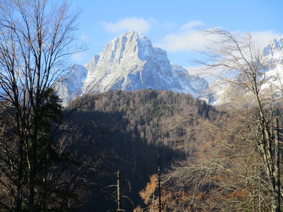
Hier rechts einem undeutlichen Pfad folgen und mehr oder weniger weglos immer rechts vom Grat hinüber zum kleinen Gipfelkreuz.
Wem die Wegsuche zu mühsam ist, kann vom Sattel in knapp zwei weiteren Stunden über den Kessenspitz auf den Kleinen Priel aufsteigen.
Ansonsten zurück zum Prielerplan und hinunter zum Ausgangspunkt.
Galerie du tour
Carte du tour et altitude
Minimum height 582 m
Maximum height 1673 m

Commentaires

Auf der A9 Pyhnrautobahn zur Ausfahrt St. Pankratz und links auf der Landesstraße nach Hinterstoder. Gebührenparkplatz beim Feuerwehrdepot.
Tracks GPS
Trackpoints-
GPX / Garmin Map Source (gpx) download
-
TCX / Garmin Training Center® (tcx) download
-
CRS / Garmin Training Center® (crs) download
-
Google Earth (kml) download
-
G7ToWin (g7t) download
-
TTQV (trk) download
-
Overlay (ovl) download
-
Fugawi (txt) download
-
Kompass (DAV) Track (tk) download
-
Feuille de tours (pdf) download
-
Original file of the author (gpx) download
Add to my favorites
Remove from my favorites
Edit tags
Open track
My score
Rate