

Further information at
https://wanderwege-trier.de/2018/01/16/rund-um-die-riveristalsperre/#more-3712Galerie du tour
Carte du tour et altitude
Minimum height 267 m
Maximum height 446 m
More about the tour author

|
Wanderkarin |
Commentaires

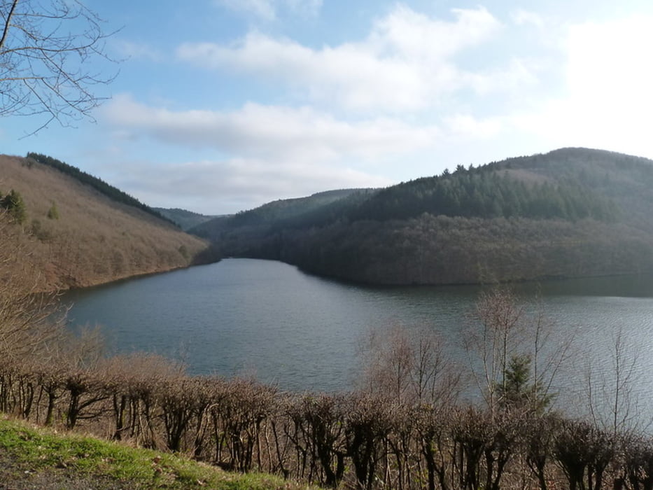
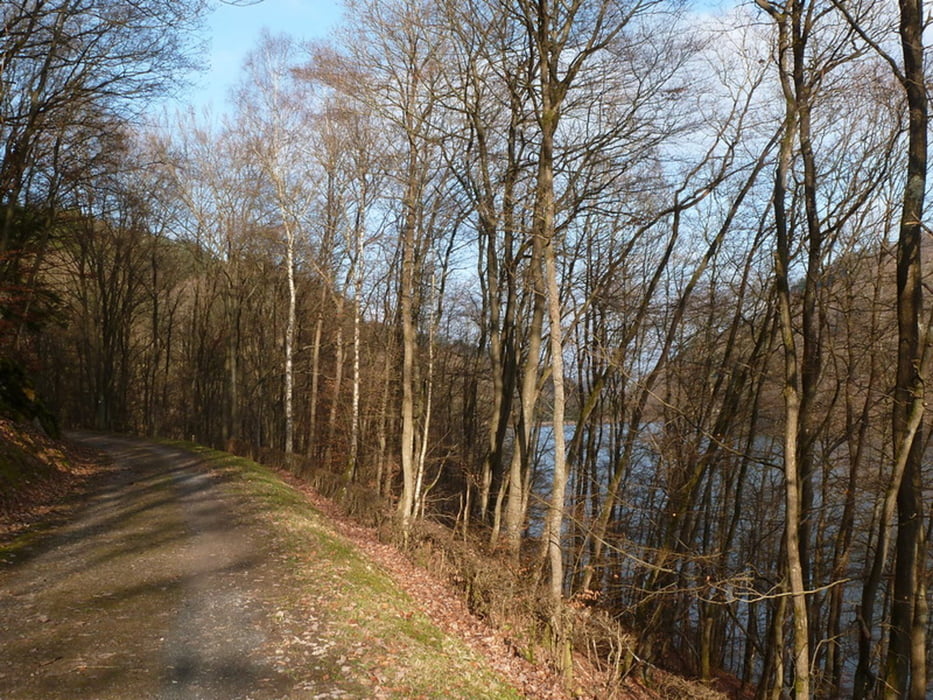
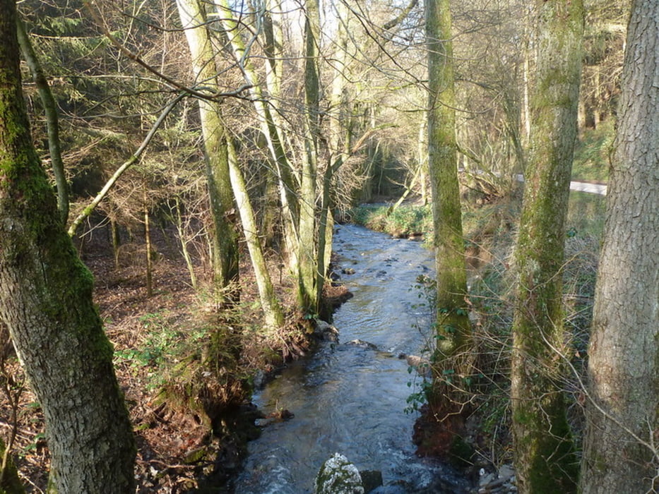
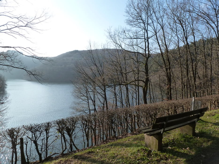
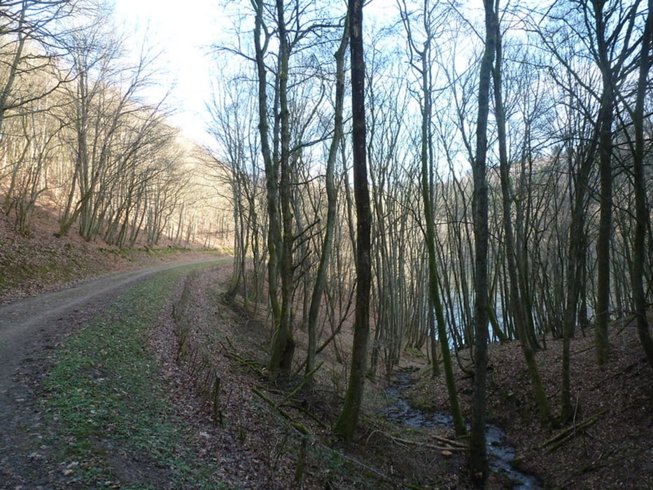
Von Pellingen kommend biege ich vor Bonerath nach links ab, fahre durch den Ort, an der kleinen Kirche vorbei und stoße am Ortsausgang auf einen hübschen Parkplatz mit Rastgelegenheit, Insektenhaus und Hinweistafel zum Naherholungsgebiet Ruwertal.
Tracks GPS
Trackpoints-
GPX / Garmin Map Source (gpx) download
-
TCX / Garmin Training Center® (tcx) download
-
CRS / Garmin Training Center® (crs) download
-
Google Earth (kml) download
-
G7ToWin (g7t) download
-
TTQV (trk) download
-
Overlay (ovl) download
-
Fugawi (txt) download
-
Kompass (DAV) Track (tk) download
-
Feuille de tours (pdf) download
-
Original file of the author (gpx) download
More about the tour author
|
|
Wanderkarin |
Add to my favorites
Remove from my favorites
Edit tags
Open track
My score
Rate