


Further information at
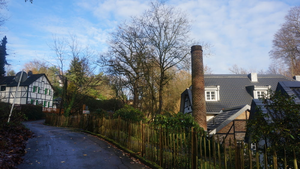
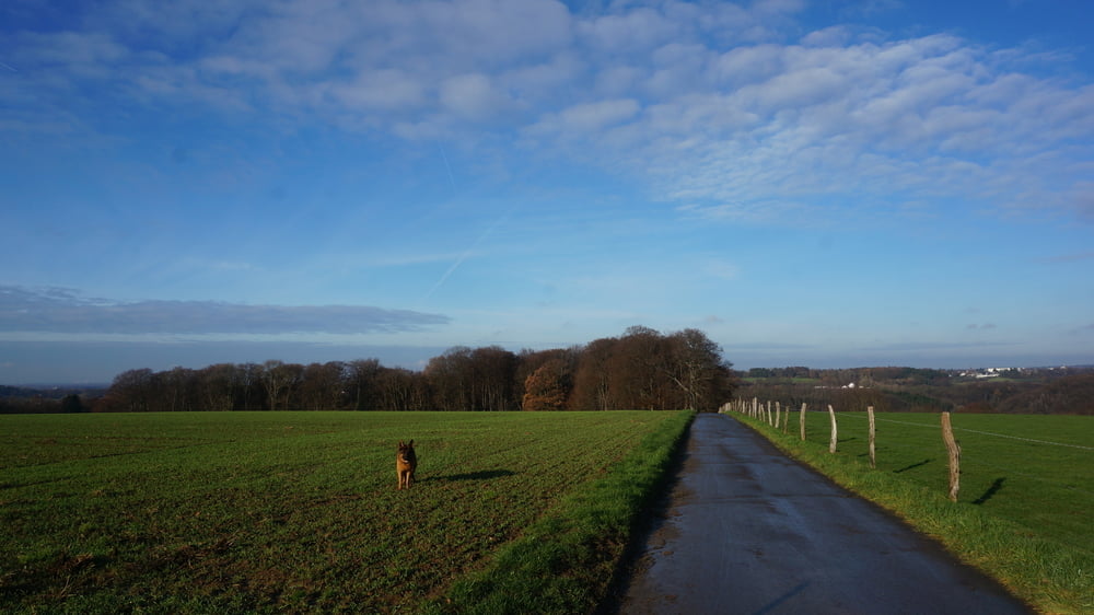
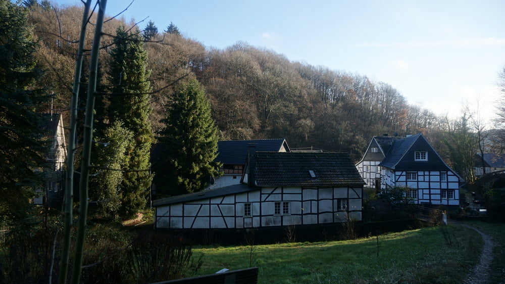
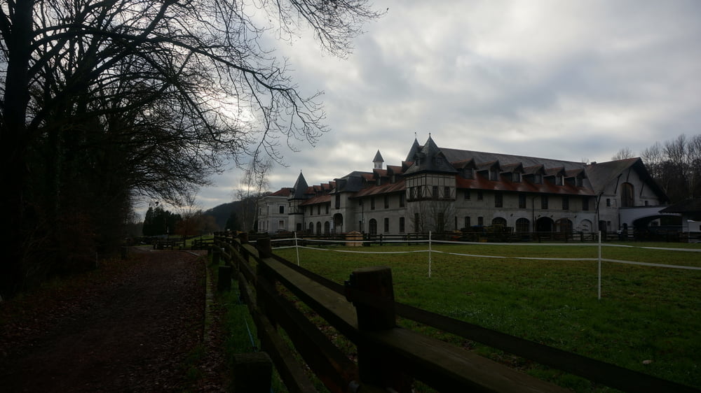
https://www.sudowe.eu/index.php/renate-s-blog/berichte-2020/339-rund-um-leichlingenGalerie du tour
Carte du tour et altitude
Minimum height 63 m
Maximum height 161 m
More about the tour author
|
|
Renatelev |
Commentaires

Öffentlicher Parkplatz am Blütenbad in Leichlingen, Am Schulbusch
Tracks GPS
Trackpoints-
GPX / Garmin Map Source (gpx) download
-
TCX / Garmin Training Center® (tcx) download
-
CRS / Garmin Training Center® (crs) download
-
Google Earth (kml) download
-
G7ToWin (g7t) download
-
TTQV (trk) download
-
Overlay (ovl) download
-
Fugawi (txt) download
-
Kompass (DAV) Track (tk) download
-
Feuille de tours (pdf) download
-
Original file of the author (gpx) download
More about the tour author
|
|
Renatelev |
Add to my favorites
Remove from my favorites
Edit tags
Open track
My score
Rate