


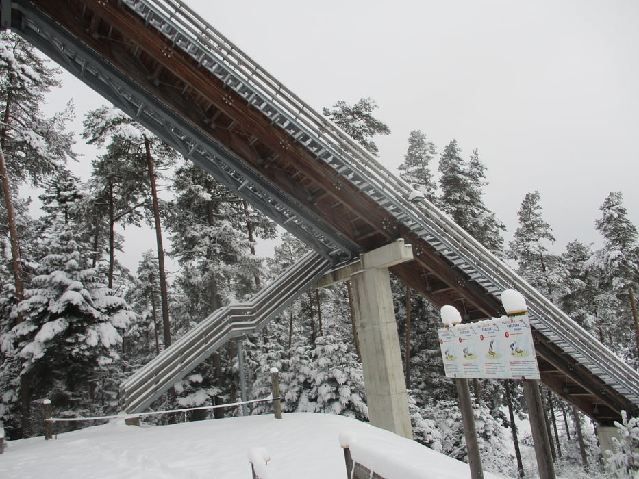
Vom Gemeindeamt der Beschilderung 9 in südlicher Richtung folgen, vorbei am Reiterhof und in den Wald hinauf nach Außerleiten. Hier nach links und zur Schanzenanlage. Weiter durch den Wald hinunter nach Unteraichberg und wieder den Wald hinauf. Bei Migelsbach wird links in den Feldweg nach Haging eingeschwenkt. Hinaus zur Landesstraße und entlang dieser zurück zum Ort.
Bei entsprechender Schneelage lässt sich diese Runde auch ganz gut mit Schneeschuhen absolvieren.
Further information at
https://www.innviertel-tourismus.at/oesterreich-tour/detail/430000048/3-tannentour-hoehnhart-hoehenrausch-am-rande-des-kobernausserwaldes.htmlGalerie du tour
Carte du tour et altitude
Minimum height 437 m
Maximum height 593 m

Commentaires

Von Ried im Innkreis über Mehrnbach nach Kirchheim. Links Richtung Wildenau und Aspach.
Tracks GPS
Trackpoints-
GPX / Garmin Map Source (gpx) download
-
TCX / Garmin Training Center® (tcx) download
-
CRS / Garmin Training Center® (crs) download
-
Google Earth (kml) download
-
G7ToWin (g7t) download
-
TTQV (trk) download
-
Overlay (ovl) download
-
Fugawi (txt) download
-
Kompass (DAV) Track (tk) download
-
Feuille de tours (pdf) download
-
Original file of the author (gpx) download
Add to my favorites
Remove from my favorites
Edit tags
Open track
My score
Rate