Login

Login oublié ?

Cookies have to be accepted!
Your browser's cookie functionality is disabled. Please enable this functionality.

Not a member yet?

Register now
Login

Available for registred users only

Log in to use this feature.

Login oublié ?

Cookies have to be accepted!
Your browser's cookie functionality is disabled. Please enable this functionality.

Not a member yet?

Register now
Filter
Catégories
Advanced filters
  • Longueur (km)
  • Altimètre
Enregistrer le filtre Reset filter

TrackRank

QRCode

Technical data

Longueur21,1 km Altimètre676 m Way down687 m Durée06:00 h:m Date17.04.2021
Evaluations Author Paysage Aspect amusement Condition Technique

Statistiques

149 Vues Evaluations 6 Téléchargements Moyenne
Rate
  • Feuille de tours
  • Arrivée
  • Téléchargements

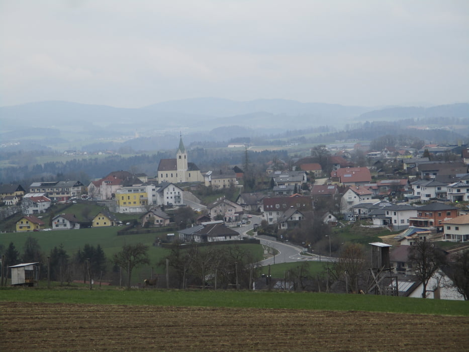
Schlögen - Schlögener Blick - Linetshub - Haibach - Kalvarienberg - Donauleiten - Hinteraigen - Dorf - Vornholz - Kellnering - Aschach.

Genaue Beschreibung und Beschilderung beim weiterführenden Link!

Further information at

https://www.outdooractive.com/de/route/fernwanderweg/donau-oberoesterreich/donausteig-etappe-1_s04-schloegen-aschach-von-der-schloegener/1385072/#dmdtab=oax-tab3

Galerie du tour

Carte du tour et altitude

  • Open Street Map
  • Google
Minimum height 263 m Maximum height 566 m Vue de détail

More about the tour author

JoHangler
Member since 2013

Send private message

Commentaires

Schlögen liegt an der B 130 - Eferding-Passau.

Aschach ist von Linz auf der B 131 erreichbar.

Tracks GPS

Trackpoints
  • GPX / Garmin Map Source (gpx) download
  • TCX / Garmin Training Center® (tcx) download
  • CRS / Garmin Training Center® (crs) download
  • Google Earth (kml) download
  • G7ToWin (g7t) download
  • TTQV (trk) download
  • Overlay (ovl) download
  • Fugawi (txt) download
  • Kompass (DAV) Track (tk) download
  • Feuille de tours (pdf) download
  • Original file of the author (gpx) download

More about the tour author

JoHangler
Member since 2013

Send private message
Share track
Add to my favorites
Remove from my favorites
Edit tags
My score
Rate
Tour: Donausteig Süd-Etappe 4 - Schlögen-Aschach
Cat.: Randonnées
Longueur: 21,1 km
Evaluated on:
Durée:
Day(s)
Hour(s)
Minute(s)
Evaluation: Paysage Aspect amusement Condition Technique