


Start in Trient auf Radweg Richtung Rovereto. Achtung nachdem man das 2 mal die Etsch überquert hat muß man lx runter auf den Wirtschaftsweg und folgt diesem nach Volano. Nun beginnt die Auffahrt (ca.1000 Hm) nach Serrada.
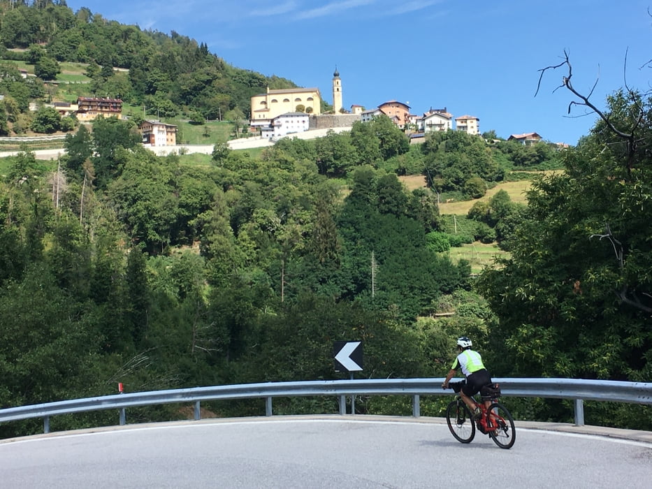
Anfangs sind ein paar kurze Rampen mit bis zu 15 % Steigung, es folgt eine kurze Abfahrt und dann geht es in mäßiger Steigung mit ein paar Flachstücke hinauf nach Serrada.
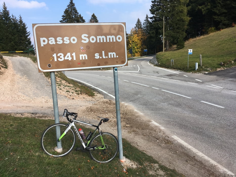
Kurze Abfahrt nach Folgaria, hier könnte man auch nach Trient abfahren, wir aber fahren bergauf zum Passo Sommo 1341 m.
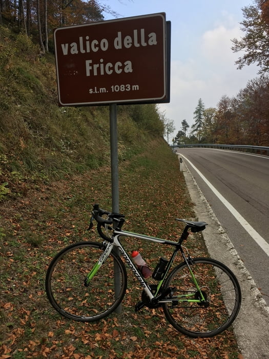
Nun hinunter nach Carbonare und scharf lx Richtung Trient, Passo della Fricca. Hier muß man durch ein gut beleuchtetes Tunnel (Licht nicht vergessen). Am Kreisverkehr scharf rx hinuter nach Centa San Nicolo und weiter nach Calceranica am Caldonazzosee.
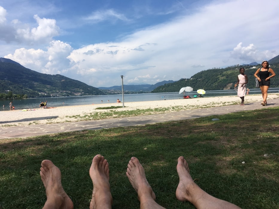
In Caldonazzo kann man direkt am See gut einkehren und die Speicher wieder füllen und am Strand den See genießen.
Weiter geht es auf Radweg nach Pergine und hinauf zum kleinen Lago di Canzolino und über Civezzano, Cognola zuirück nach Trient.
Diese Tour führt fast ausschließlich über Radwege oder Straßen mit wenig Verkehr.
Further information at
https://www.trentino.com/de/trentino/alpe-cimbra-folgaria-lavarone-lusern/folgaria/Galerie du tour
Carte du tour et altitude
Minimum height 185 m
Maximum height 1315 m
More about the tour author
|
|
Califan |
Commentaires

Beim Bici Grill südlich von Trient mit Parkplatz direkt neben der AB Ausfahrt Trento Sud
Tracks GPS
Trackpoints-
GPX / Garmin Map Source (gpx) download
-
TCX / Garmin Training Center® (tcx) download
-
CRS / Garmin Training Center® (crs) download
-
Google Earth (kml) download
-
G7ToWin (g7t) download
-
TTQV (trk) download
-
Overlay (ovl) download
-
Fugawi (txt) download
-
Kompass (DAV) Track (tk) download
-
Feuille de tours (pdf) download
-
Original file of the author (gpx) download
More about the tour author
|
|
Califan |
Add to my favorites
Remove from my favorites
Edit tags
Open track
My score
Rate