


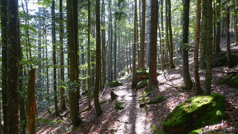
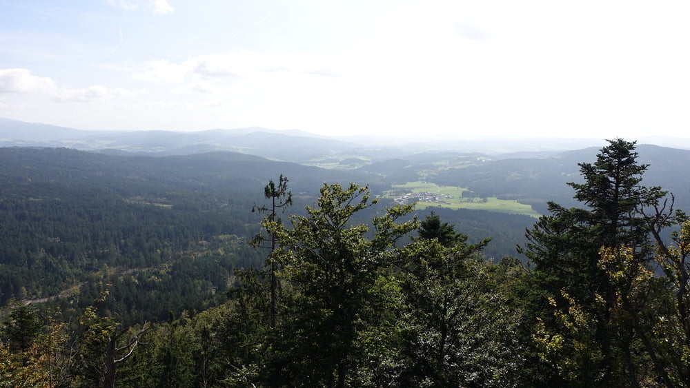
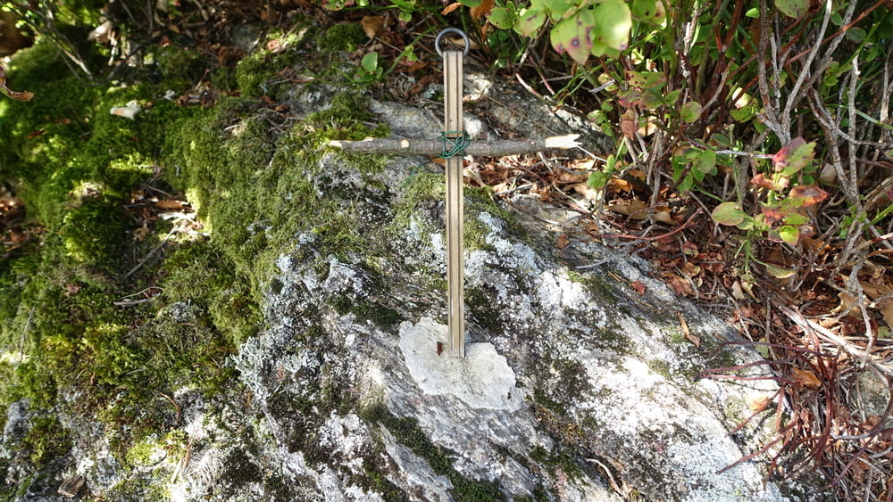
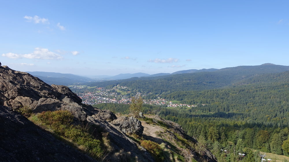
Wanderung zum Bodenmaiser Hausberg, dem Silberberg.
Hinweise: Leichte Wandertour.
Route: Wanderparkplatz Schönebene – Abstecher zum Aussichtspunkt – Silberberg – Wanderparkplatz Schönebene
Einkehrmöglichkeit:
POI: Silberberg (955 m)
Bitte beachten:
Meine Touren sind zum Benutzen für GPS-Geräte gedacht. Die Wegbeschreibung (Route) stellt nur einen groben Überblick über die Tour zum Zeitpunkt der Tourerstellung dar. Ohne GPS-Gerät ist der Streckenverlauf oftmals schwierig zu finden. Wegegebote und behördliche Einschränkungen sind eigenverantwortlich zu beachten.
Galerie du tour
Carte du tour et altitude
Minimum height 841 m
Maximum height 950 m
More about the tour author

|
ejee |
Commentaires

Tracks GPS
Trackpoints-
GPX / Garmin Map Source (gpx) download
-
TCX / Garmin Training Center® (tcx) download
-
CRS / Garmin Training Center® (crs) download
-
Google Earth (kml) download
-
G7ToWin (g7t) download
-
TTQV (trk) download
-
Overlay (ovl) download
-
Fugawi (txt) download
-
Kompass (DAV) Track (tk) download
-
Feuille de tours (pdf) download
-
Original file of the author (gpx) download
More about the tour author
|
|
ejee |
Add to my favorites
Remove from my favorites
Edit tags
Open track
My score
Rate