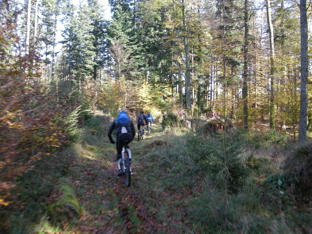
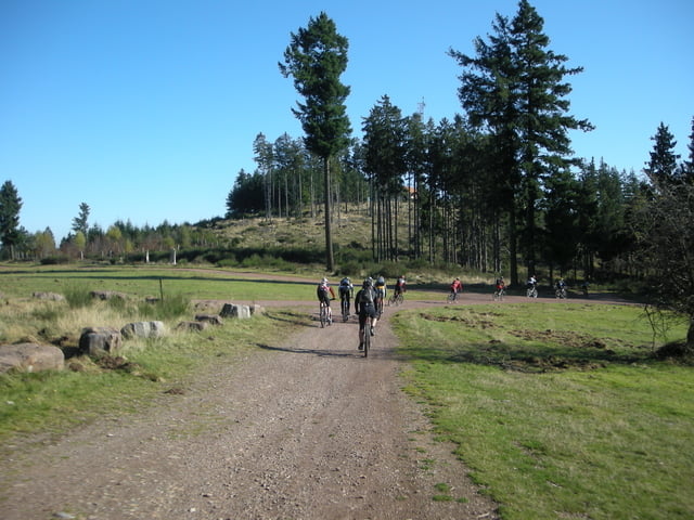
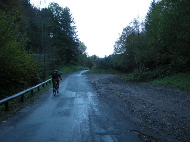
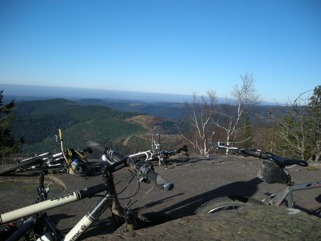
Login

Login oublié ?

Cookies have to be accepted!
Your browser's cookie functionality is disabled. Please enable this functionality.

Not a member yet?

Register now
Login

Available for registred users only

Log in to use this feature.

Login oublié ?

Cookies have to be accepted!
Your browser's cookie functionality is disabled. Please enable this functionality.

Not a member yet?

Register now
Filter
Catégories
Advanced filters
  • Longueur (km)
  • Altimètre
Enregistrer le filtre Reset filter

TrackRank

QRCode

Technical data

Longueur63,9 km Altimètre1441 m Way down1447 m Durée06:40 h:m Date26.10.2008
Evaluations Author Paysage Aspect amusement Condition Technique

Statistiques

1172 Vues 1 Evaluation 255 Téléchargements 5.00 Moyenne
Rate
  • Feuille de tours
  • Arrivée
  • Téléchargements

Galerie du tour

Carte du tour et altitude

  • Open Street Map
  • Google
Minimum height 298 m Maximum height 1010 m Vue de détail

More about the tour author

Tobilas
Member since 2007

Send private message

Commentaires

RadSchweine.de on 29.10.2008

Danke

Hi Roland,

danke für die Tourdaten. Da kann ich die ja gleich noch mal fahren. Ware echt Super.

Leute, ich kann diese Runde zum Nachfahren nur empfehlen.

(MW)

Tracks GPS

Trackpoints
  • GPX / Garmin Map Source (gpx) download
  • TCX / Garmin Training Center® (tcx) download
  • CRS / Garmin Training Center® (crs) download
  • Google Earth (kml) download
  • G7ToWin (g7t) download
  • TTQV (trk) download
  • Overlay (ovl) download
  • Fugawi (txt) download
  • Kompass (DAV) Track (tk) download
  • Feuille de tours (pdf) download
  • Original file of the author (gpx) download

More about the tour author

Tobilas
Member since 2007

Send private message
Share track
Add to my favorites
Remove from my favorites
Edit tags
My score
Rate
Tour: Donon 25.10.08
Cat.: Mountainbike
Longueur: 63,9 km
Evaluated on:
Durée:
Day(s)
Hour(s)
Minute(s)
Evaluation: Paysage Aspect amusement Condition Technique