

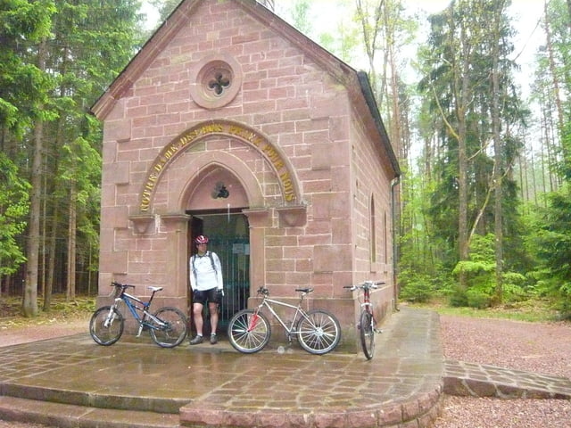
Rando autour d'Eguelshardt en passant par l'étang de Hanau et d'autres points de vues.
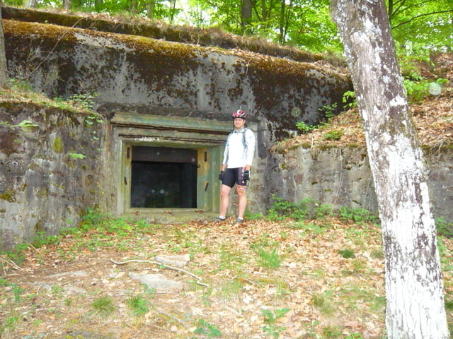
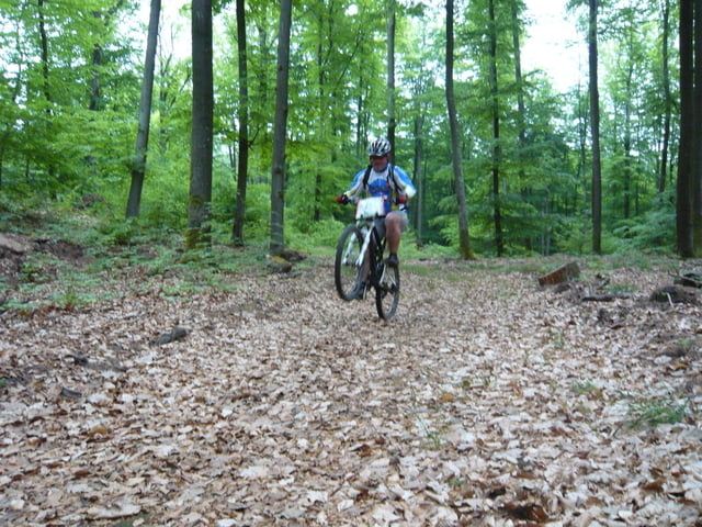
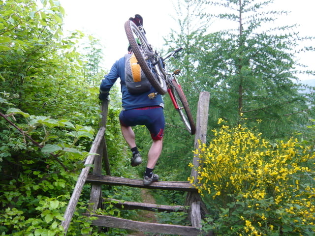
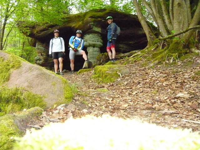
Galerie du tour
Carte du tour et altitude
Minimum height 217 m
Maximum height 383 m
More about the tour author
|
|
pascal.67 |
Commentaires
Départ sur le parking à côté de l'église d'Eguelshardt.
Tracks GPS
Trackpoints-
GPX / Garmin Map Source (gpx) download
-
TCX / Garmin Training Center® (tcx) download
-
CRS / Garmin Training Center® (crs) download
-
Google Earth (kml) download
-
G7ToWin (g7t) download
-
TTQV (trk) download
-
Overlay (ovl) download
-
Fugawi (txt) download
-
Kompass (DAV) Track (tk) download
-
Feuille de tours (pdf) download
-
Original file of the author (gpx) download
More about the tour author
|
|
pascal.67 |
Add to my favorites
Remove from my favorites
Edit tags
Open track
My score
Rate
Sortie à Eguelshardt
Leider ist beim Abstieg nach Lieschbach der Pfad durch einen Zaun versperrt (Km 22,7). Der freundliche Besitzer öffnete uns jedoch die Tür und ließ uns durch sein Grundstück gehen. Aus diesem Grunde besser bei km 22,3 links halten und über den markierten Weg nach Lieschbach fahren.
Daher "nur" 4 Sterne; ansonsten jedoch top.
Très beau rando dans une région formidable.
Malheureusment à l´entrée de Lieschbach (km 22,7) le sentier est barré par une clôture.
Le propriétaire tout à fait gentil nous ouvrait la porte et nous lassait passer sur son terrain.
Pour cette raison au carrefour à 22,3 km se tenir à gauche et prendre le chemin indiqué à Lieschbach.
A cause de cela "seulement" 4 étoiles, mais cependant impeccable.