


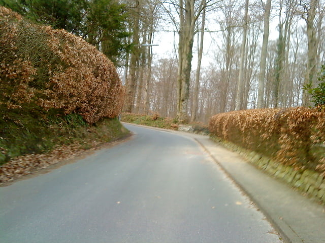
Schnelle und abwechslungsreiche Rennradtour in Schleswig-Holstein. Schnelle passagen wechseln sich mit Steigungen und Kurven ab.
Wer in Kellinghusen abbrechen möchte, kann Richtung Wittenbergen-Wulfsmoor-osterhorn-Lutzhorn abbiegen. Sollte er aber nicht tun, da es jetzt erst richtig schön wird.
Richtung Olixdorf fährt man ein kleines Stück auf dem Ochsenweg. Leider ist diese Abschnitt eine Spurbahn. Mittendrin ist eine Schranke (as Gefahrenstelle markiert).
Nach der Abfahrt in Oelixdorf kann man wieder rechts abbiegen und fährt nochmal eine steile Rampe. Oben nur wieder rechts abbiegen und die Abfahrt genießen.
Further information at
http://www.lutzhorn.info/front_content.php?idcatart=337&lang=1&client=1Galerie du tour
Carte du tour et altitude
Minimum height -11 m
Maximum height 47 m
More about the tour author
|
|
Harm |
Commentaires

Der Start ist wieder vor meiner Haustür in Lutzhorn. parken kann man sehr gut an der Schule. nach der Tour in Karins Fahrradcafé einkehren: Es lohnt sich. Schönen Gruß von mir.
Tracks GPS
Trackpoints-
GPX / Garmin Map Source (gpx) download
-
TCX / Garmin Training Center® (tcx) download
-
CRS / Garmin Training Center® (crs) download
-
Google Earth (kml) download
-
G7ToWin (g7t) download
-
TTQV (trk) download
-
Overlay (ovl) download
-
Fugawi (txt) download
-
Kompass (DAV) Track (tk) download
-
Feuille de tours (pdf) download
-
Original file of the author (gpx) download
More about the tour author
|
|
Harm |
Add to my favorites
Remove from my favorites
Edit tags
Open track
My score
Rate