Login

Login oublié ?

Cookies have to be accepted!
Your browser's cookie functionality is disabled. Please enable this functionality.

Not a member yet?

Register now
Login

Available for registred users only

Log in to use this feature.

Login oublié ?

Cookies have to be accepted!
Your browser's cookie functionality is disabled. Please enable this functionality.

Not a member yet?

Register now
Filter
Catégories
Advanced filters
  • Longueur (km)
  • Altimètre
Enregistrer le filtre Reset filter

TrackRank

QRCode

Technical data

Longueur3,0 km Altimètre306 m Way down0 m Durée02:00 h:m Date18.06.2006
Evaluations Author Paysage Aspect amusement Condition Technique

Statistiques

1534 Vues Evaluations 120 Téléchargements Moyenne
Rate
  • Feuille de tours
  • Arrivée
  • Téléchargements
Siehe dazu meine bereits bestehenden Einzeltouren zu Währingersteig, Drobilsteig und Ganghofersteig
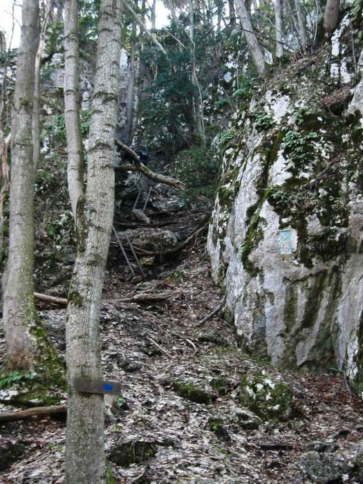
Galerie du tour

Carte du tour et altitude

  • Open Street Map
  • Google
Minimum height 494 m Maximum height 827 m Vue de détail

More about the tour author

hans29
Member since 2005

Send private message

Commentaires

Siehe dazu meine bereits bestehenden Anfahrtsbeschreibungen bei den Einzeltouren zu Währingersteig, Drobilsteig und Ganghofersteig

Tracks GPS

Trackpoints
  • GPX / Garmin Map Source (gpx) download
  • TCX / Garmin Training Center® (tcx) download
  • CRS / Garmin Training Center® (crs) download
  • Google Earth (kml) download
  • G7ToWin (g7t) download
  • TTQV (trk) download
  • Overlay (ovl) download
  • Fugawi (txt) download
  • Kompass (DAV) Track (tk) download
  • Feuille de tours (pdf) download
  • Original file of the author (gpx) download

More about the tour author

hans29
Member since 2005

Send private message
Share track
Add to my favorites
Remove from my favorites
Edit tags
My score
Rate
Tour: Währinger-Drobil-Ganghofersteig Kombination ("WÄHDROGANG")
Cat.: Sentier d’escalade
Longueur: 3,0 km
Evaluated on:
Durée:
Day(s)
Hour(s)
Minute(s)
Evaluation: Paysage Aspect amusement Condition Technique