Login

Login oublié ?

Cookies have to be accepted!
Your browser's cookie functionality is disabled. Please enable this functionality.

Not a member yet?

Register now
Login

Available for registred users only

Log in to use this feature.

Login oublié ?

Cookies have to be accepted!
Your browser's cookie functionality is disabled. Please enable this functionality.

Not a member yet?

Register now
Filter
Catégories
Advanced filters
  • Longueur (km)
  • Altimètre
Enregistrer le filtre Reset filter

TrackRank

QRCode

Technical data

Longueur30,2 km Altimètre1428 m Way down1394 m Durée04:00 h:m Date16.08.2009
Evaluations Author User Paysage Aspect amusement Condition Technique

Statistiques

1155 Vues 1 Evaluation 266 Téléchargements 5.00 Moyenne
Rate
  • Feuille de tours
  • Arrivée
  • Téléchargements

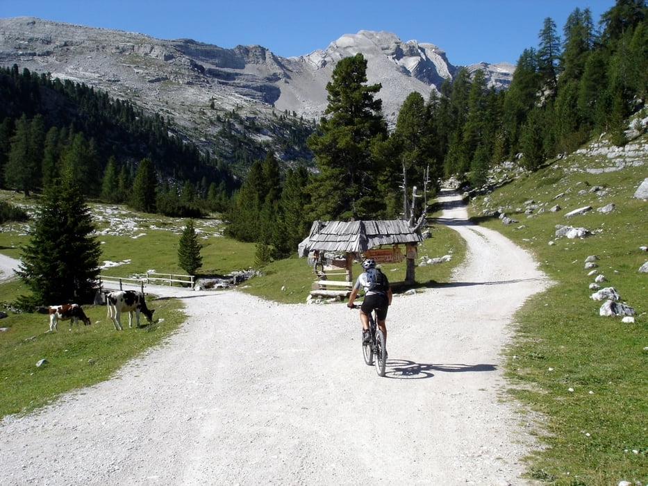
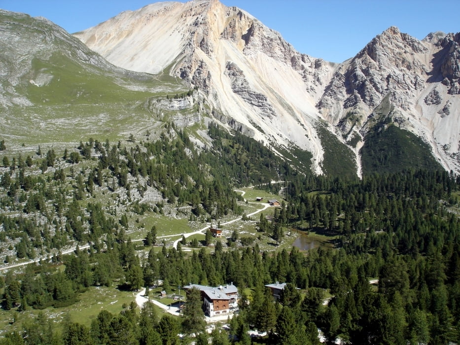
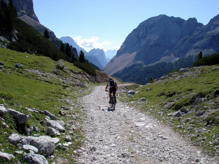
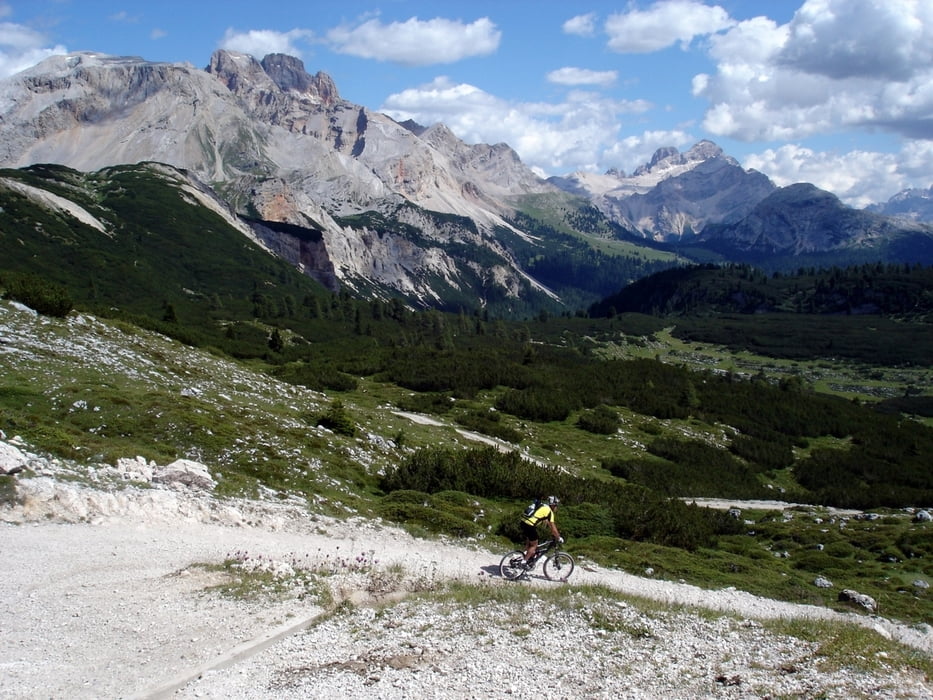
Partendo dal posteggio di Pederù si sale per il rifugio Fanes e per il Lago di Limo. Da qui si scende lungo la Valle di Fanes e poco dopo il Ponte Alto posto su Rio Travenanzes, percorrendo una ripida strada asfaltata si raggiunge il Rifugio Ra Stua. Da qui si risale la Val Boite fino al Rifugio Sennes e, passando per il rifugio Fodara Vedla, si ritorna con una ripida discesa a Pederù.

Further information at

http://www.sibillini-mtb.it

Galerie du tour

Carte du tour et altitude

  • Open Street Map
  • Google
Minimum height 1382 m Maximum height 2167 m Vue de détail

More about the tour author

barbonis
Member since 2008

Send private message

Commentaires

Tracks GPS

Trackpoints
  • GPX / Garmin Map Source (gpx) download
  • TCX / Garmin Training Center® (tcx) download
  • CRS / Garmin Training Center® (crs) download
  • Google Earth (kml) download
  • G7ToWin (g7t) download
  • TTQV (trk) download
  • Overlay (ovl) download
  • Fugawi (txt) download
  • Kompass (DAV) Track (tk) download
  • Feuille de tours (pdf) download
  • Original file of the author (gpx) download

More about the tour author

barbonis
Member since 2008

Send private message
Share track
Add to my favorites
Remove from my favorites
Edit tags
My score
Rate
Tour: Fanes
Cat.: Mountainbike
Longueur: 30,2 km
Evaluated on:
Durée:
Day(s)
Hour(s)
Minute(s)
Evaluation: Paysage Aspect amusement Condition Technique