


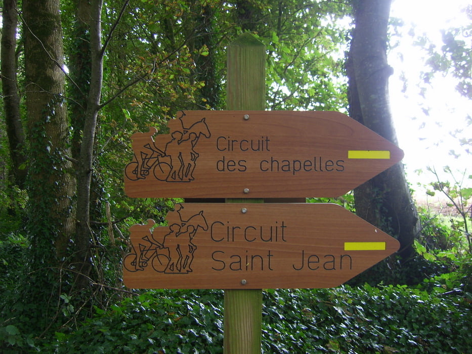
Ausgeschilderter Rundwanderweg, größtenteils befestigt. Führt vorbei an historischen Gebäuden und Ruinen aus dem 15. Jh. sowie durch Wälder und landwirtschaftlich genutzte Flächen.
Wir waren hier im August 2009 und konnten dabei noch jede Menge Brombeeren vom Wegesrand vernaschen.
Further information at
http://www.finisteretourisme.comGalerie du tour


Carte du tour et altitude
Minimum height 26 m
Maximum height 82 m
More about the tour author
|
|
kaidietze |
Commentaires

auf D30 von Plouescat aus Ri Süden (Landivisiau) nach ca. 3,5 km links Ri. St. Jean Babtiste.
Parkplatz am Beginn der Wanderung an der Kirche / Chapelle St. Jean Babtiste.
Tracks GPS
Trackpoints-
GPX / Garmin Map Source (gpx) download
-
TCX / Garmin Training Center® (tcx) download
-
CRS / Garmin Training Center® (crs) download
-
Google Earth (kml) download
-
G7ToWin (g7t) download
-
TTQV (trk) download
-
Overlay (ovl) download
-
Fugawi (txt) download
-
Kompass (DAV) Track (tk) download
-
Feuille de tours (pdf) download
-
Original file of the author (gpx) download
More about the tour author
|
|
kaidietze |
Add to my favorites
Remove from my favorites
Edit tags
Open track
My score
Rate