Login

Login oublié ?

Cookies have to be accepted!
Your browser's cookie functionality is disabled. Please enable this functionality.

Not a member yet?

Register now
Login

Available for registred users only

Log in to use this feature.

Login oublié ?

Cookies have to be accepted!
Your browser's cookie functionality is disabled. Please enable this functionality.

Not a member yet?

Register now
Filter
Catégories
Advanced filters
  • Longueur (km)
  • Altimètre
Enregistrer le filtre Reset filter

TrackRank

QRCode

Technical data

Longueur29,9 km Altimètre230 m Way down237 m Durée03:00 h:m Date12.09.2009
Evaluations Author Paysage Aspect amusement Condition Technique

Statistiques

169 Vues Evaluations 21 Téléchargements Moyenne
Rate
  • Feuille de tours
  • Arrivée
  • Téléchargements

Dit is een bewegwijzerde VTT-route (Nr 9 van Les Coteaux du Layon). De aanduidingen zijn echter op veel plaatsen verdwenen...

Parkeren en vertrekken kan aan de kerk van Aubigné (op de weg van Angers naar Vihiers).

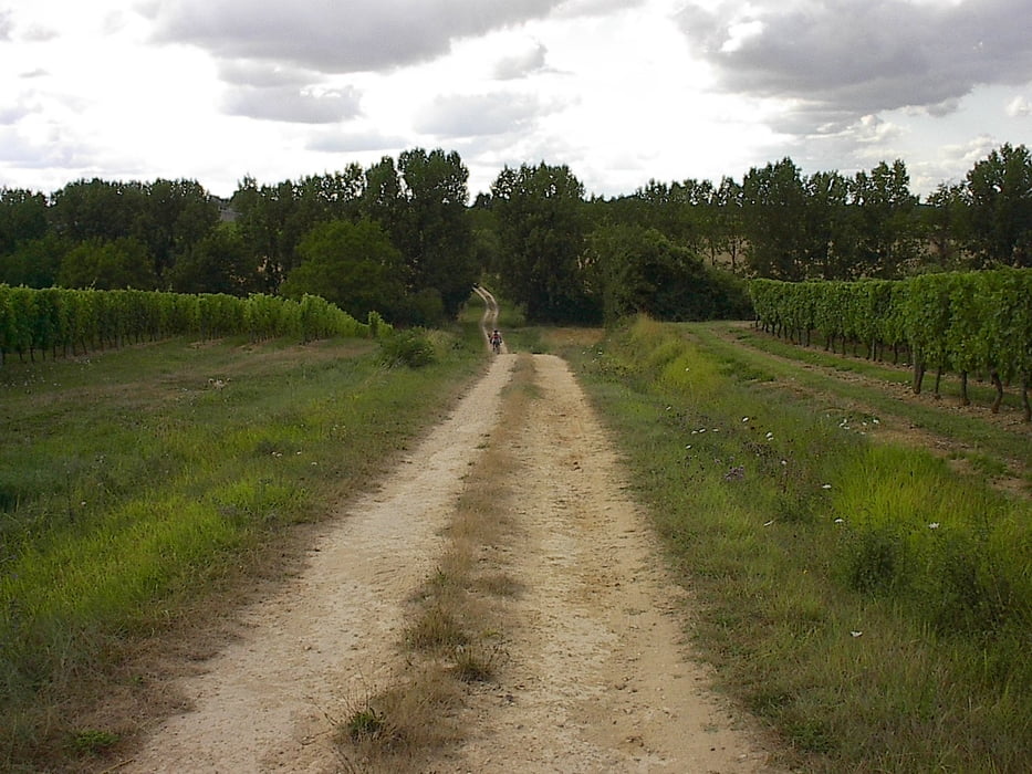
De tocht loopt voor een groot stuk tussen de wijngaarden.


Further information at

http://www.ffc.fr/a_VeloLoisir/a_SitesVTT/index.asp

Galerie du tour

Carte du tour et altitude

  • Open Street Map
  • Google
Minimum height 34 m Maximum height 91 m Vue de détail

More about the tour author

jefhoremans
Member since 2008

Send private message

Commentaires

Parkeren en vertrekken kan aan de kerk van Aubigné (op de weg van Angers naar Vihiers).

Tracks GPS

Trackpoints
  • GPX / Garmin Map Source (gpx) download
  • TCX / Garmin Training Center® (tcx) download
  • CRS / Garmin Training Center® (crs) download
  • Google Earth (kml) download
  • G7ToWin (g7t) download
  • TTQV (trk) download
  • Overlay (ovl) download
  • Fugawi (txt) download
  • Kompass (DAV) Track (tk) download
  • Feuille de tours (pdf) download
  • Original file of the author (gpx) download

More about the tour author

jefhoremans
Member since 2008

Send private message
Share track
Add to my favorites
Remove from my favorites
Edit tags
My score
Rate
Tour: Aubigné; circuit Layon no9
Cat.: Mountainbike
Longueur: 29,9 km
Evaluated on:
Durée:
Day(s)
Hour(s)
Minute(s)
Evaluation: Paysage Aspect amusement Condition Technique