Login

Login oublié ?

Cookies have to be accepted!
Your browser's cookie functionality is disabled. Please enable this functionality.

Not a member yet?

Register now
Login

Available for registred users only

Log in to use this feature.

Login oublié ?

Cookies have to be accepted!
Your browser's cookie functionality is disabled. Please enable this functionality.

Not a member yet?

Register now
Filter
Catégories
Advanced filters
  • Longueur (km)
  • Altimètre
Enregistrer le filtre Reset filter

TrackRank

QRCode

Technical data

Longueur20,7 km Altimètre431 m Way down370 m Durée01:59 h:m Date27.09.2009
Evaluations Author Paysage Aspect amusement Condition Technique

Statistiques

503 Vues Evaluations 87 Téléchargements Moyenne
Rate
  • Feuille de tours
  • Arrivée
  • Téléchargements

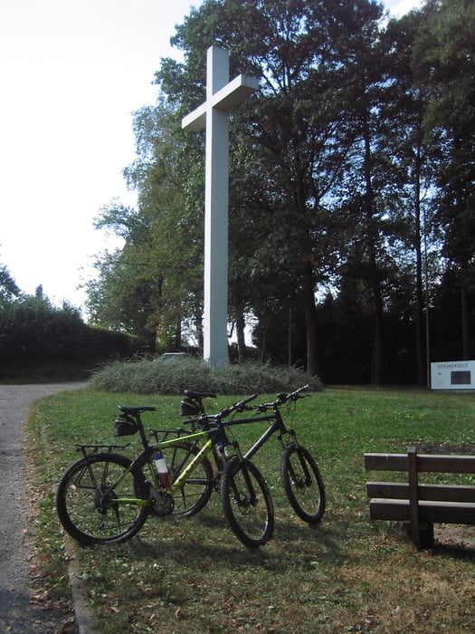
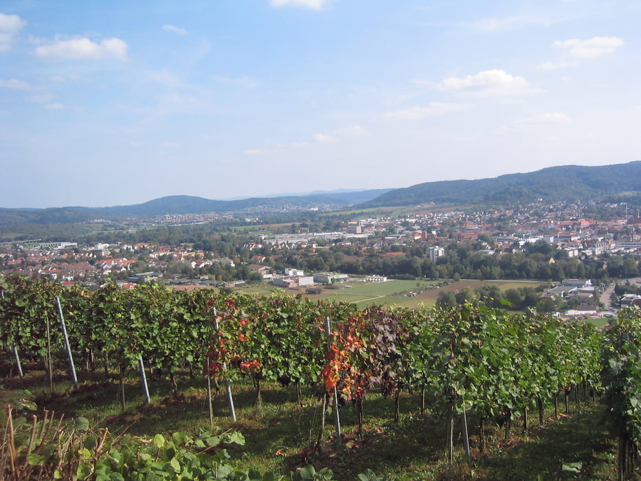
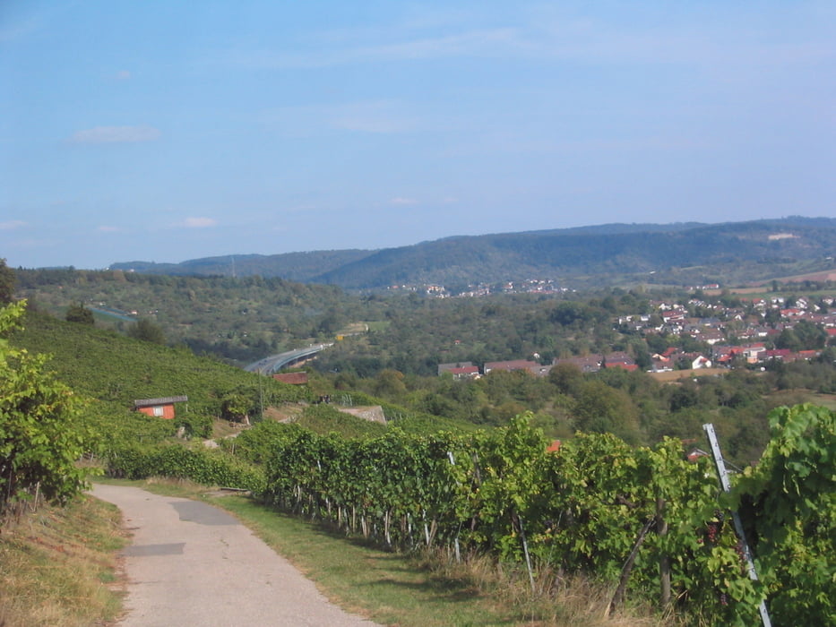
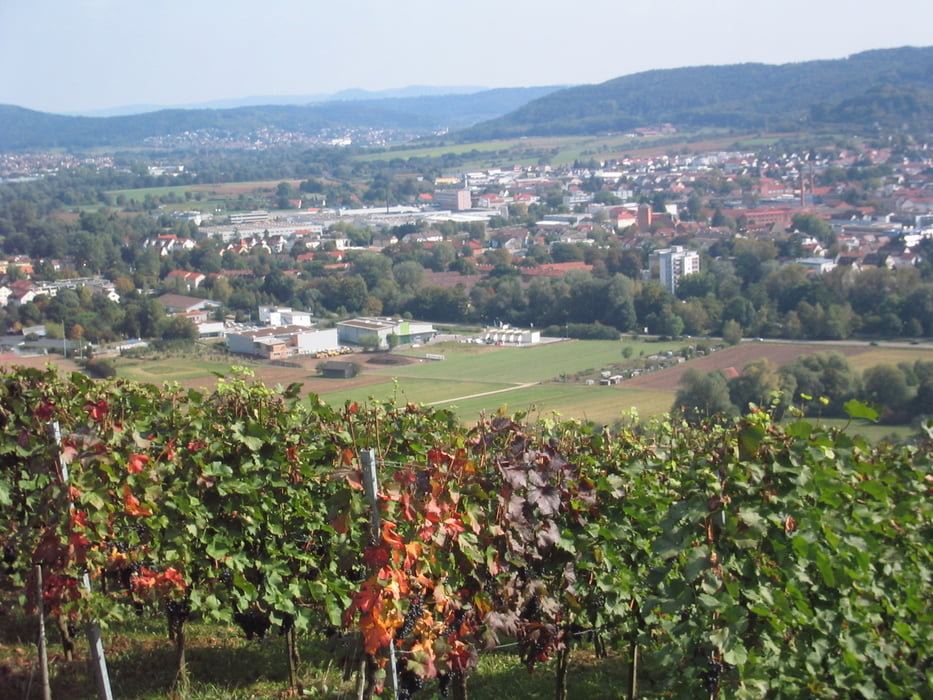
Nette Tour, die überwiegend auf Teer-und Waldwegen und ein wenig querfeldein zu fahren ist und auch schöne singeltrails beinhaltet. Zwischen Hunger- und Grafenberg fährt man am Kamm entlang und hat somit eine schöne Aussicht  auf Schorndorf , Winterbach und den Schurwald bis hinüber zur Alb und den 3 Kaiser-Bergen.

Alles in allem eine entspannte, aber trotzdem kurzweilige und sportliche Strecke, die zudem die Möglichkeit zur Einkehr im Alpengarten bietet.

Galerie du tour

Carte du tour et altitude

  • Open Street Map
  • Google
Minimum height 223 m Maximum height 377 m Vue de détail

More about the tour author

Guddy
Member since 2009

Send private message

Commentaires

Tracks GPS

Trackpoints
  • GPX / Garmin Map Source (gpx) download
  • TCX / Garmin Training Center® (tcx) download
  • CRS / Garmin Training Center® (crs) download
  • Google Earth (kml) download
  • G7ToWin (g7t) download
  • TTQV (trk) download
  • Overlay (ovl) download
  • Fugawi (txt) download
  • Kompass (DAV) Track (tk) download
  • Feuille de tours (pdf) download
  • Original file of the author (gpx) download

More about the tour author

Guddy
Member since 2009

Send private message
Share track
Add to my favorites
Remove from my favorites
Edit tags
My score
Rate
Tour: Zwischen Rohrbronn und Grafenberg
Cat.: Mountainbike
Longueur: 20,7 km
Evaluated on:
Durée:
Day(s)
Hour(s)
Minute(s)
Evaluation: Paysage Aspect amusement Condition Technique