
 aus gesehen")

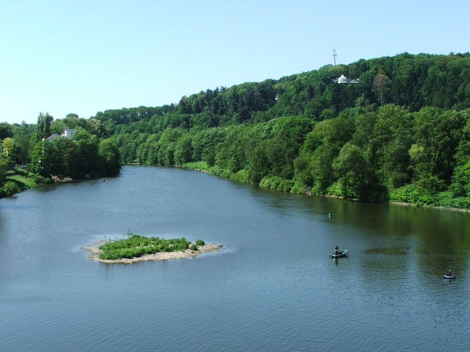
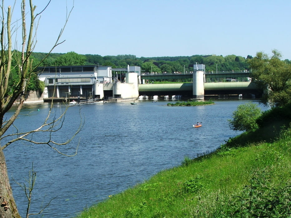
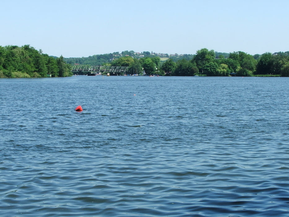
Von Essen-Bredeney hinunter zur Ruhr, durch Essen-Werden, dann mit steilem Anstieg auf die Hügel südlich des Baldeneysees und wieder hinunter nach Kupferdreh.
Der Weg führt ab Werden bis zur Kreuzung mit der L439 nur über Asphalt. Wer sich das sparen möchte, kann ab Werden mit der Buslinie 180 (täglich 30-Minuten-Takt) bis Overhammshof fahren und erreicht etwas weiter östlich wieder den Track.
Galerie du tour
Carte du tour et altitude
Minimum height 52 m
Maximum height 161 m
More about the tour author
|
|
lothardomnik |
Commentaires

Startpunkt: Haltestelle Kruppallee der Straßenbahnlinien 101 und 107
Endpunkt: Essen-Kupferdreh Bf. (Zuglinie S9)
Tracks GPS
Trackpoints-
GPX / Garmin Map Source (gpx) download
-
TCX / Garmin Training Center® (tcx) download
-
CRS / Garmin Training Center® (crs) download
-
Google Earth (kml) download
-
G7ToWin (g7t) download
-
TTQV (trk) download
-
Overlay (ovl) download
-
Fugawi (txt) download
-
Kompass (DAV) Track (tk) download
-
Feuille de tours (pdf) download
-
Original file of the author (gpx) download
More about the tour author
|
|
lothardomnik |
Add to my favorites
Remove from my favorites
Edit tags
Open track
My score
Rate