


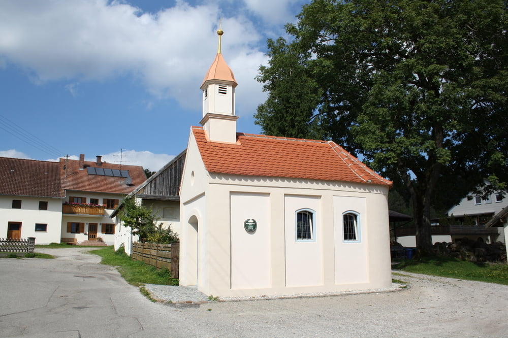
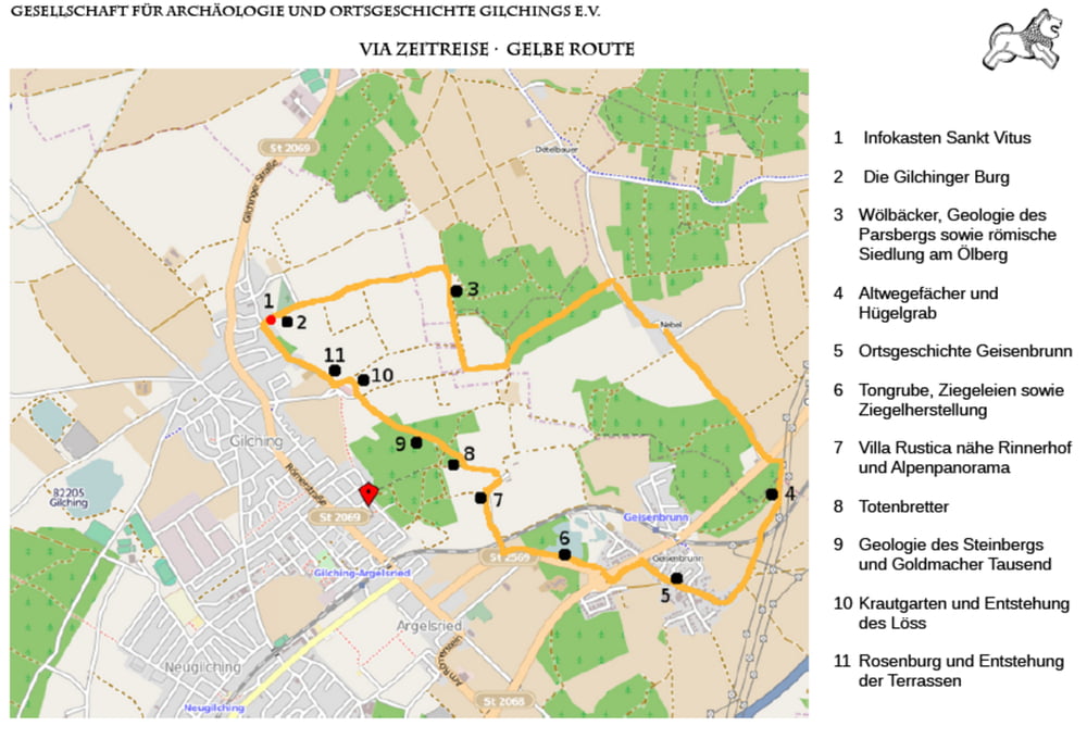
Ausgehend von der St. Vitus Kirche in Gilching führt der gut beschilderte Rundweg über Nebel und Geisenbrunn.
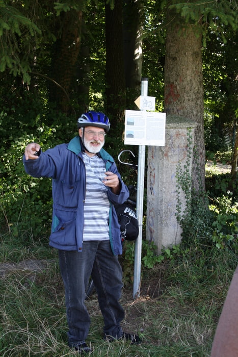
Heimatgeschichtliche, archäologische und Geologische Aus- und Ansichtspunkte sind mit Informationstafeln erklärt.
Further information at
http://www.zeitreise-gilching.deGalerie du tour
Carte du tour et altitude
Minimum height 446 m
Maximum height 598 m
More about the tour author
|
|
ChristianRoch |
Commentaires
Tracks GPS
Trackpoints-
GPX / Garmin Map Source (gpx) download
-
TCX / Garmin Training Center® (tcx) download
-
CRS / Garmin Training Center® (crs) download
-
Google Earth (kml) download
-
G7ToWin (g7t) download
-
TTQV (trk) download
-
Overlay (ovl) download
-
Fugawi (txt) download
-
Kompass (DAV) Track (tk) download
-
Feuille de tours (pdf) download
-
Original file of the author (gpx) download
More about the tour author
|
|
ChristianRoch |
Add to my favorites
Remove from my favorites
Edit tags
Open track
My score
Rate
Via Zeitreise "gelb"
Bei schönem Wetter traumhafte Ausblicke auf die Alpen, vom Wendelstein bis in die Ammergauer.
Etwas schade: Die südliche Hälfte der Tour (von Nebel bis zum Ende von Geisenbrunn) verläuft auf Straßen. Wer mit dem GPS unterwegs ist, könnte am Hügelgrab geradeaus weiter (parallel zur Bodenseestr.) nach Geisenbrunn gehen und dann entlang der S-Bahn bis zum Sträßchen "Am Rinnerhof" unterhalb der Villa Rustica. Ab dort wieder gem. der originalen Tour. Wir werden das mal ausprobieren...