Login

Login oublié ?

Cookies have to be accepted!
Your browser's cookie functionality is disabled. Please enable this functionality.

Not a member yet?

Register now
Login

Available for registred users only

Log in to use this feature.

Login oublié ?

Cookies have to be accepted!
Your browser's cookie functionality is disabled. Please enable this functionality.

Not a member yet?

Register now
Filter
Catégories
Advanced filters
  • Longueur (km)
  • Altimètre
Enregistrer le filtre Reset filter

TrackRank

QRCode

Technical data

Longueur24,4 km Altimètre355 m Way down403 m Durée06:11 h:m Date14.11.2010
Evaluations Author Paysage Aspect amusement Condition Technique

Statistiques

949 Vues Evaluations 73 Téléchargements Moyenne
Rate
  • Feuille de tours
  • Arrivée
  • Téléchargements

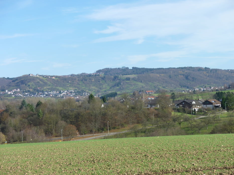
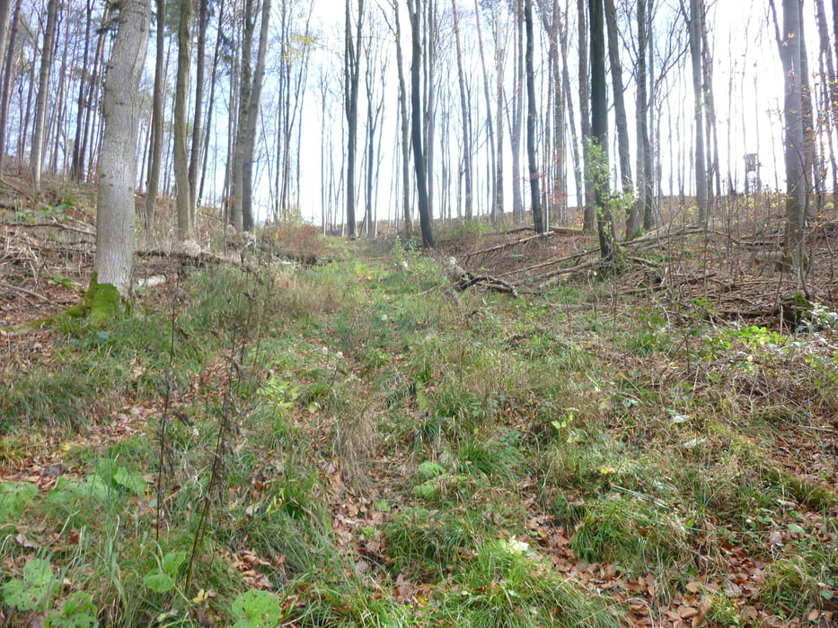
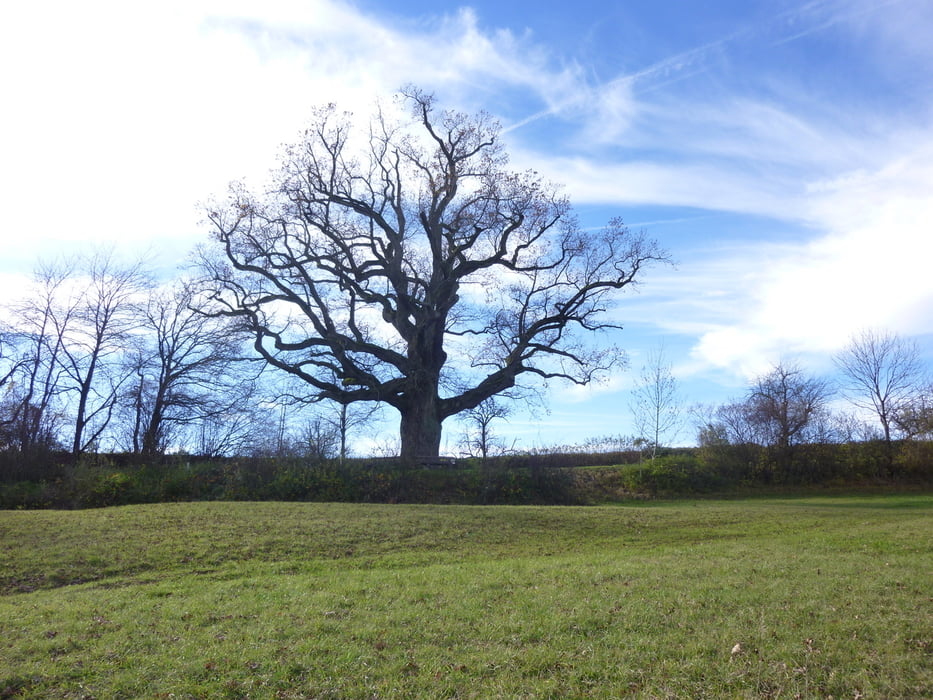
Grandiose Wanderung, die am Bahnhof von backnang beginnt.  Nach herrlichen Panoramablicken auf die Backnanger Bucht geht es hoch  zum Rudersberger sattel. Von dort eine schöne Kammwanderung bis zur Anhöhe des  Lindentaler Tals. Danach die Wieslauf entlang bis Schorndorf.

Galerie du tour

Carte du tour et altitude

  • Open Street Map
  • Google
Minimum height 246 m Maximum height 472 m Vue de détail

More about the tour author

Guddy
Member since 2009

Send private message

Commentaires

Tracks GPS

Trackpoints
  • GPX / Garmin Map Source (gpx) download
  • TCX / Garmin Training Center® (tcx) download
  • CRS / Garmin Training Center® (crs) download
  • Google Earth (kml) download
  • G7ToWin (g7t) download
  • TTQV (trk) download
  • Overlay (ovl) download
  • Fugawi (txt) download
  • Kompass (DAV) Track (tk) download
  • Feuille de tours (pdf) download
  • Original file of the author (gpx) download

More about the tour author

Guddy
Member since 2009

Send private message
Share track
Add to my favorites
Remove from my favorites
Edit tags
My score
Rate
Tour: Von Backnang nach Schorndorf
Cat.: Randonnées
Longueur: 24,4 km
Evaluated on:
Durée:
Day(s)
Hour(s)
Minute(s)
Evaluation: Paysage Aspect amusement Condition Technique