

Blautal / BW ► Tour 2 - 34,1 Km • 714 Hm
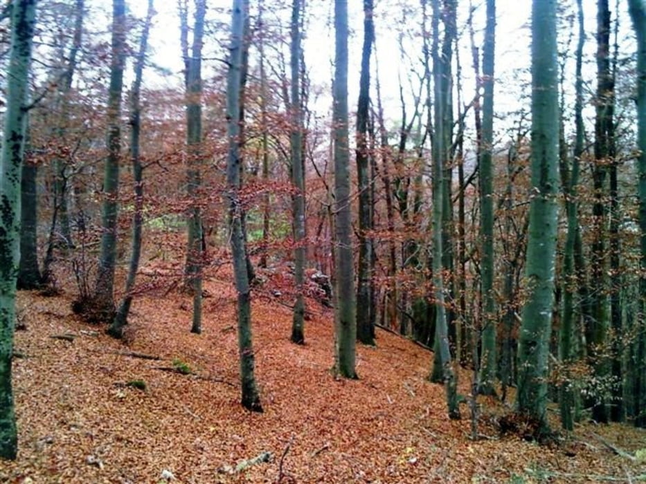
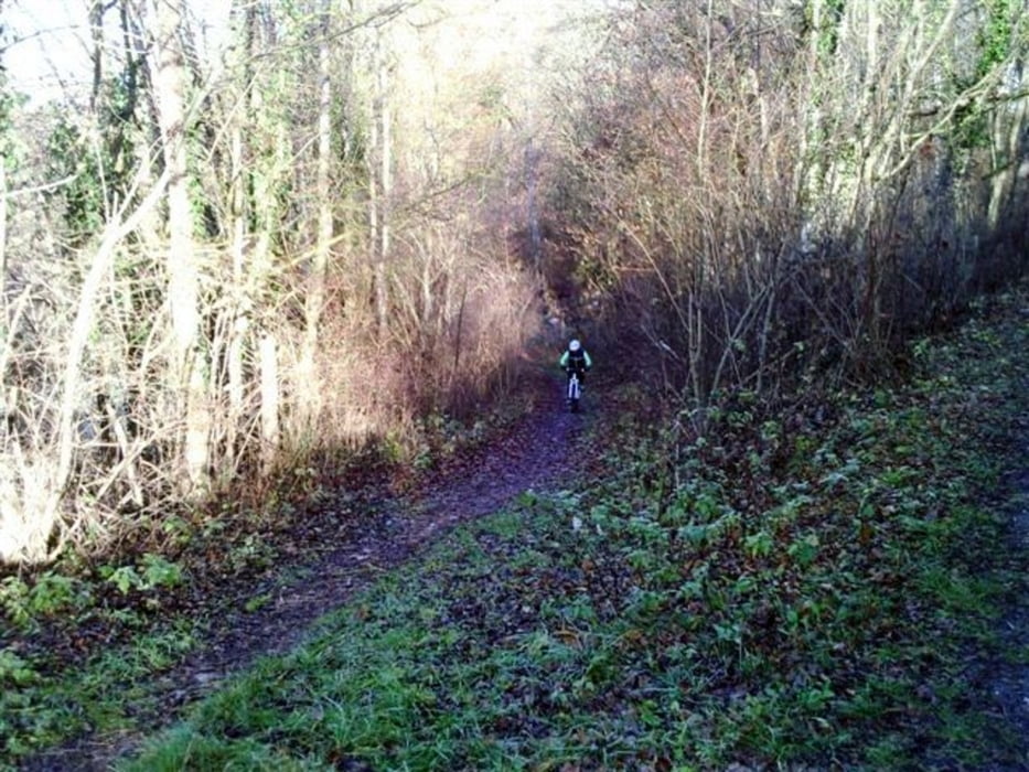
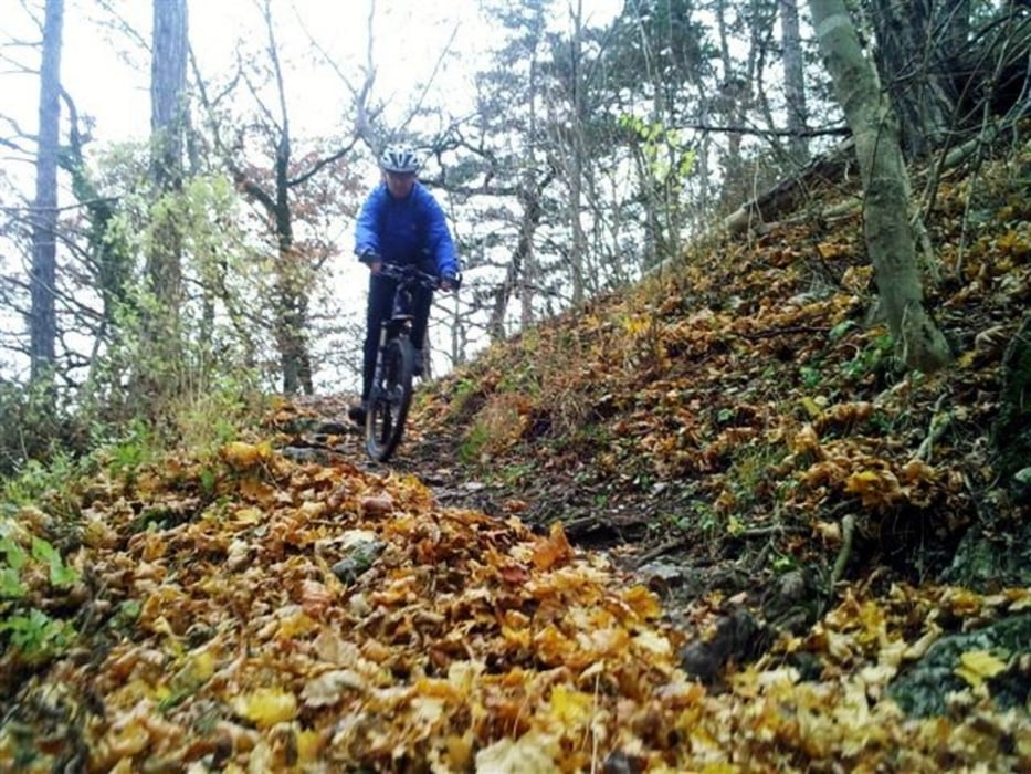
Die Tour beginnt in Blaustein (Nähe Ulm) am Bad Blau (genügend Parkplätze vorhanden). Auf teils Asphalt, Wiesenwegen, Forstwegen und vielen Singletrails, führt die Tour durch die Orte Blaustein - Weidach - Wippingen - Arnegg und Herrlingen. Nach einer Fahrzeit von ca.3 - 3,5 Stunden, erreicht man den Ausgangspunkt in Blaustein / Bad Blau.
Da man immer wieder mit grandiosen, landschaftlich sehr reizvollen Ausblicken belohnt wird, ist ein Trip in das Blautal jederzeit empfehlenswert.
Galerie du tour


Carte du tour et altitude
Minimum height 500 m
Maximum height 673 m
More about the tour author
|
|
Michael_Schneider |
Commentaires

»Siehe Routenplaner«
Tracks GPS
Trackpoints-
GPX / Garmin Map Source (gpx) download
-
TCX / Garmin Training Center® (tcx) download
-
CRS / Garmin Training Center® (crs) download
-
Google Earth (kml) download
-
G7ToWin (g7t) download
-
TTQV (trk) download
-
Overlay (ovl) download
-
Fugawi (txt) download
-
Kompass (DAV) Track (tk) download
-
Feuille de tours (pdf) download
-
Original file of the author (gpx) download
More about the tour author
|
|
Michael_Schneider |
Add to my favorites
Remove from my favorites
Edit tags
Open track
My score
Rate