

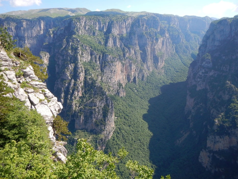

Near the parking place, there starts the trail to the Stouros flat.
Sometimes the red trail marks are hard to find. If you don’t have a GPS with this track to follow the trail, be careful! There are some gaps in the rocks, and cliffs to the gorge.
From the start to point K1 the trail is signed. From K1 to the trail end, it is not signed.
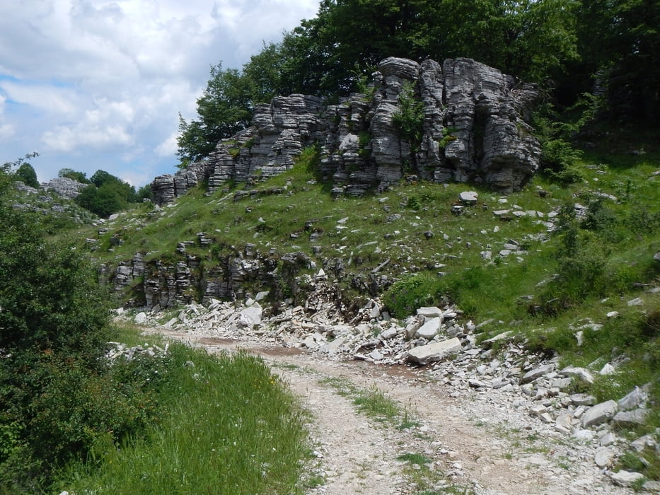
After the trail end you follow a dust road 2.7km, and the last 900m the paved road.
Fotogalerie van de tocht
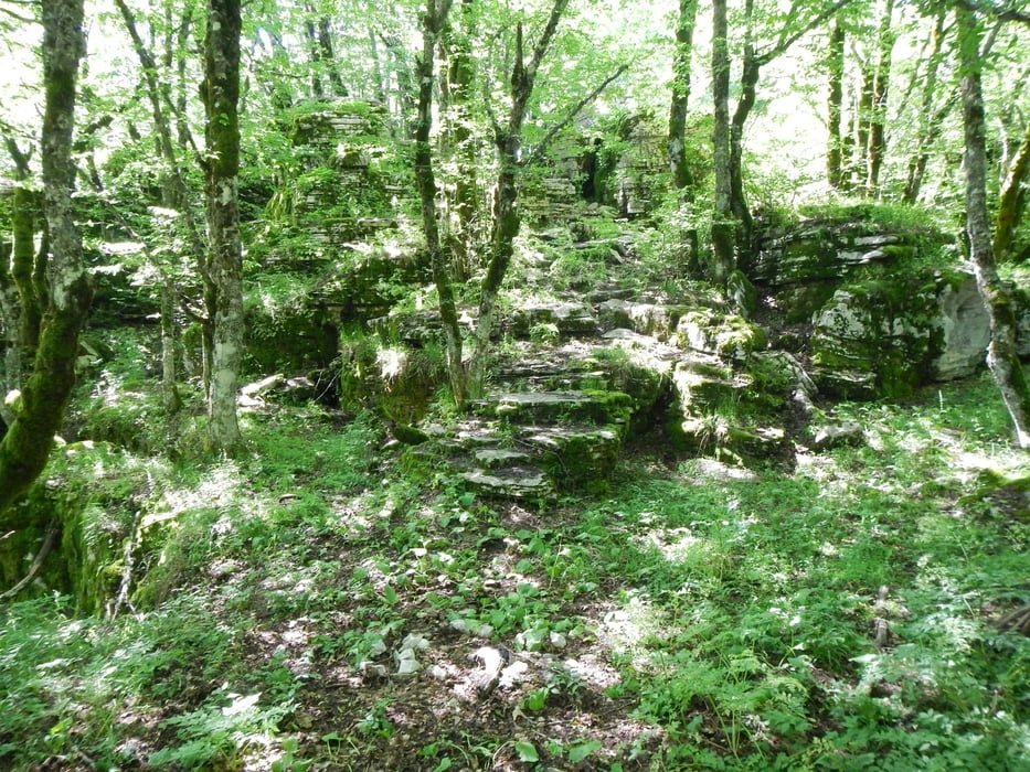
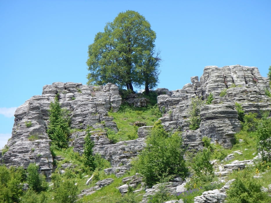
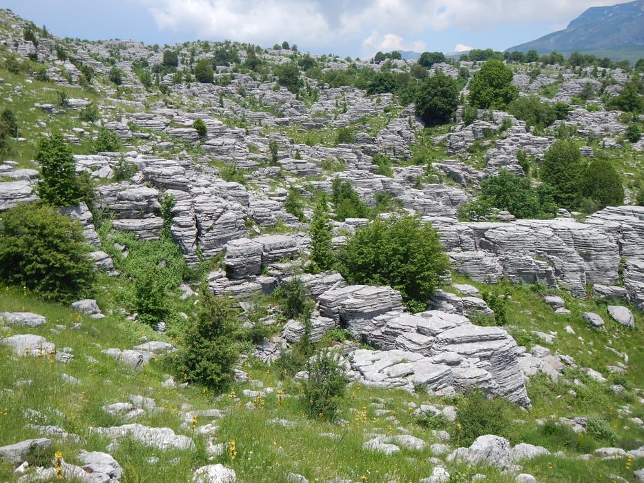
Kaart en hoogteprofiel van de tocht
Minimumhoogte 1296 m
Maximale hoogte 1495 m
Meer over de tour auteur

|
Mapdekode |
Commentaren

Meer over de tour auteur
|
|
Mapdekode |
Toevoegen aan mijn favorieten
Uit mijn favorieten verwijderen
Tags bewerken
Open track


Mijn waardering
Tarief