Inloggen

Login vergeten?

Cookies moeten worden aanvaard!
De cookiefunctie van uw browser is gedeactiveerd. Activeer de functie.

Ben je nog geen lid?

Registreer nu
Inloggen

Alleen mogelijk voor ingelogde gebruikers

Log in om deze functie te kunnen gebruiken.

Login vergeten?

Cookies moeten worden aanvaard!
De cookiefunctie van uw browser is gedeactiveerd. Activeer de functie.

Ben je nog geen lid?

Registreer nu
Filter
Categorieën
Geavanceerde filters
  • Lengte (km)
  • Hoogtemeter
Filter opslaan Filter resetten

TrackRank

QRCode

Technische gegevens

Lengte144,9 km Hoogtemeter499 m Afdaling488 m Duur05:30 h:m Datum10.02.2009
Beoordelingen Auteur Landschap Funfactor Conditie Techniek

Statistiek

273 Views Beoordelingen 5 Downloads Gemiddelde
Tarief
  • Pagina van de tocht
  • Route
  • Downloads

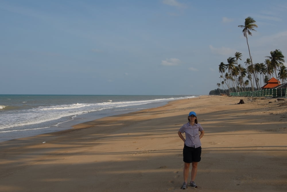
if you are looking for collecting km on the bike, this tour will give you a lot! Be prepared for a lot of traffic on the (quite narrow) Nr 3, that offers so-so tarmac conditions. The part on the Nr 14 is much better (tarmac, less traffic) but has far more rolling hills. If you'd like to enjoy the beatiful beaches along the way, do not hesitate to do so around Cherating.

When being around between October and April, get ready for constant (strong) wind. In this time of the year, swimming in the sea is also a tedious job, as the current is strong and waves are high. For the sea to enjoy, just wait until April-September.

Kaart en hoogteprofiel van de tocht

  • Open Street Map
  • Google
Minimumhoogte 3 m Maximale hoogte 76 m Detailweergave

Meer over de tour auteur

mblanarik
Lid sinds 2006

Stuur een privébericht

Commentaren

Take the final exit in Kuantan from the West-East Expressway E8. Actually, you can start cycling right there nearby, no need to travel back to the city, as you'll avoid a lot of traffic.

GPS-tracks

Trackpoints
  • GPX / Garmin Map Source (gpx) download
  • TCX / Garmin Training Center® (tcx) download
  • CRS / Garmin Training Center® (crs) download
  • Google Earth (kml) download
  • G7ToWin (g7t) download
  • TTQV (trk) download
  • Overlay (ovl) download
  • Fugawi (txt) download
  • Kompass (DAV) Track (tk) download
  • Pagina van de tocht (pdf) download
  • Origineel dossier van de auteur (gpx) download

Meer over de tour auteur

mblanarik
Lid sinds 2006

Stuur een privébericht
Share track
Toevoegen aan mijn favorieten
Uit mijn favorieten verwijderen
Tags bewerken
Mijn waardering
Tarief
Tocht: Pahang and Terengganu: Kuantan to Chukai - along the Highway nr 3 and 14
Type: Racefiets
Lengte: 144,9 km
Evaluated on:
Duur:
Dagen
Uurtjes
Minuten
Beoordeling: Landschap Funfactor Conditie Techniek