Inloggen

Login vergeten?

Cookies moeten worden aanvaard!
De cookiefunctie van uw browser is gedeactiveerd. Activeer de functie.

Ben je nog geen lid?

Registreer nu
Inloggen

Alleen mogelijk voor ingelogde gebruikers

Log in om deze functie te kunnen gebruiken.

Login vergeten?

Cookies moeten worden aanvaard!
De cookiefunctie van uw browser is gedeactiveerd. Activeer de functie.

Ben je nog geen lid?

Registreer nu
Filter
Categorieën
Geavanceerde filters
  • Lengte (km)
  • Hoogtemeter
Filter opslaan Filter resetten

TrackRank

QRCode

Technische gegevens

Lengte185,5 km Hoogtemeter354 m Afdaling379 m Duur06:30 h:m Datum10.02.2009
Beoordelingen Auteur Landschap Funfactor Conditie Techniek

Statistiek

143 Views Beoordelingen 4 Downloads Gemiddelde
Tarief
  • Pagina van de tocht
  • Route
  • Downloads

Long and pretty flat course, but can be very windy, especially between October and April. The coastal road is an absolute dream for those who like to ride flat out - almost completely flat (all the climbing is done inland on the Nr 3), with new tarmac on almost the complete 80km from Jerti to Kuala Terengganu.

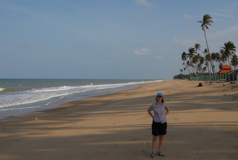
...and if you like to chill out at the beach, there are a lot of opportunities...

Kaart en hoogteprofiel van de tocht

  • Open Street Map
  • Google
Minimumhoogte 4 m Maximale hoogte 41 m Detailweergave

Meer over de tour auteur

mblanarik
Lid sinds 2006

Stuur een privébericht

Commentaren

...just get to Kuala Terengganu, then head for the airport and towards Kota Bharu via the Nr 3. Park somewhere near the big rounabout and head towards Lake/Tasik Kenyir... the rest is pretty straight forward, as there are not that many roads in the East.

GPS-tracks

Trackpoints
  • GPX / Garmin Map Source (gpx) download
  • TCX / Garmin Training Center® (tcx) download
  • CRS / Garmin Training Center® (crs) download
  • Google Earth (kml) download
  • G7ToWin (g7t) download
  • TTQV (trk) download
  • Overlay (ovl) download
  • Fugawi (txt) download
  • Kompass (DAV) Track (tk) download
  • Pagina van de tocht (pdf) download
  • Origineel dossier van de auteur (gpx) download

Meer over de tour auteur

mblanarik
Lid sinds 2006

Stuur een privébericht
Share track
Toevoegen aan mijn favorieten
Uit mijn favorieten verwijderen
Tags bewerken
Mijn waardering
Tarief
Tocht: Terengganu North: Kuala Terengganu-Jertih Hwy nr 3 and back at the coastal road
Type: Racefiets
Lengte: 185,5 km
Evaluated on:
Duur:
Dagen
Uurtjes
Minuten
Beoordeling: Landschap Funfactor Conditie Techniek