


MTB AROUND L'ILE ROUSSE, CORSE
Tracks and maps
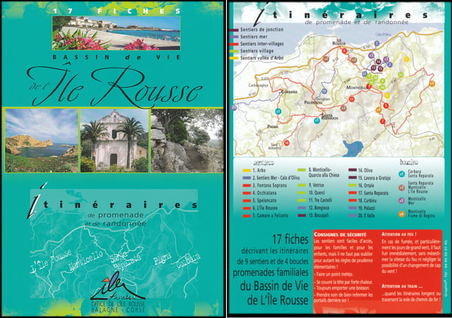
There are quite a lot of tracks around L'Ile Rousse. The best way to find them is to buy the pack of route descriptions for randonnée sold at the tourist office. Complete the pack with the map IGN 4249 OT L'Ile Rousse 1:25000 and you are ready to go exploring.
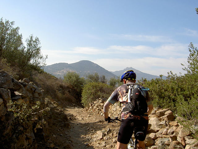
The uploaded route L'Ile Rousse-Monticello-Santa Reparata-Palmento-L'Ile Rousse became our favourite, especially the mule track between Monticello and Santa Reparata.
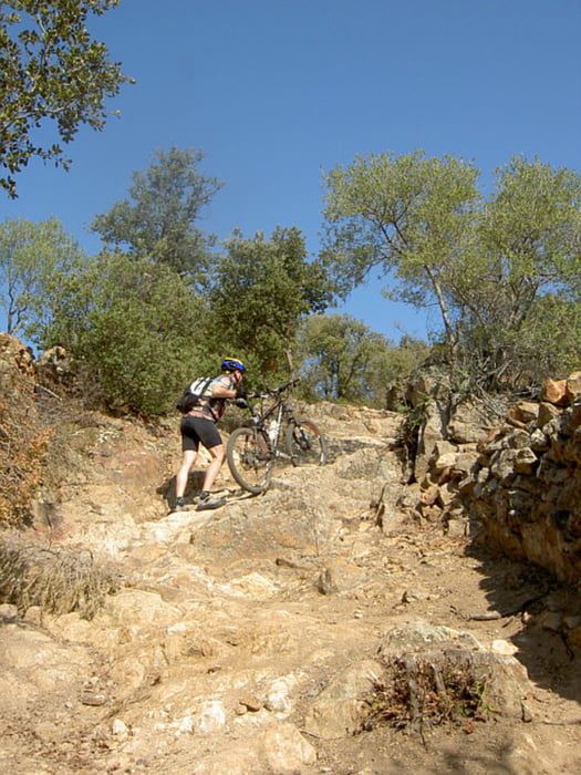
The difficulty and conditions of the mule tracks varied a lot. On other routes we had to carry the bikes at some points but we were rewarded by magnificent views.
Note: The pictures are not all from the downloaded route
What to bring
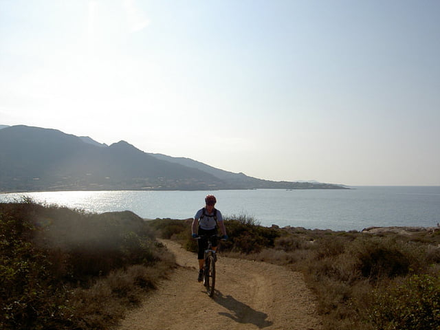
When biking along the coast be sure to bring spare inner tubes or repair kit. The maquis consists largely of thorny bushes. We had three, out of four possible, flat tyres.
Also bring a repair kit for your self. Some of us had a close encounter withe the Corse geography. The ladies at the pharmacy in L'Ile Rousse were most helpful.
Food & drink
What about food and drink? Hey, this is France, you can expect to find a bar or restaurant in most villages. Bring plenty of water though. We went to Corse in October and the days were really hot.
Fotogalerie van de tocht
Kaart en hoogteprofiel van de tocht
Minimumhoogte
Maximale hoogte 330 m
Meer over de tour auteur
|
|
Eva |
Commentaren

Meer over de tour auteur
|
|
Eva |
Toevoegen aan mijn favorieten
Uit mijn favorieten verwijderen
Tags bewerken
Open track
Mijn waardering
Tarief