Inloggen

Login vergeten?

Cookies moeten worden aanvaard!
De cookiefunctie van uw browser is gedeactiveerd. Activeer de functie.

Ben je nog geen lid?

Registreer nu
Inloggen

Alleen mogelijk voor ingelogde gebruikers

Log in om deze functie te kunnen gebruiken.

Login vergeten?

Cookies moeten worden aanvaard!
De cookiefunctie van uw browser is gedeactiveerd. Activeer de functie.

Ben je nog geen lid?

Registreer nu
Filter
Categorieën
Geavanceerde filters
  • Lengte (km)
  • Hoogtemeter
Filter opslaan Filter resetten

TrackRank

QRCode

Technische gegevens

Lengte428,4 km Hoogtemeter8832 m Afdaling8831 m Duur5 Dagen 3 h Datum13.02.2012
Beoordelingen Auteur Landschap Funfactor Conditie Techniek

Statistiek

1006 Views Beoordelingen 114 Downloads Gemiddelde
Tarief
  • Pagina van de tocht
  • Route
  • Downloads

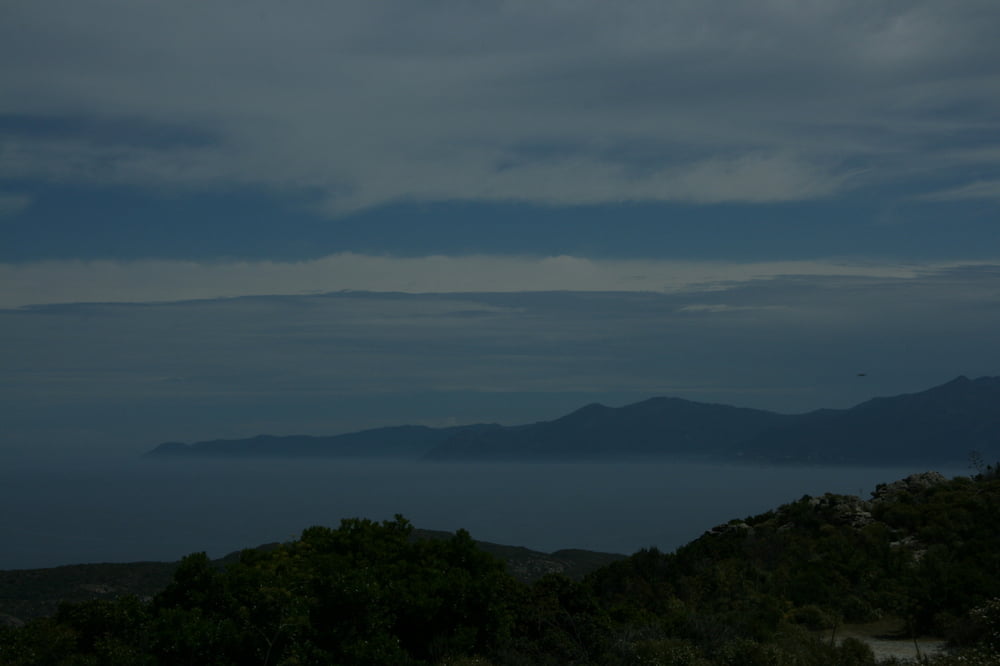
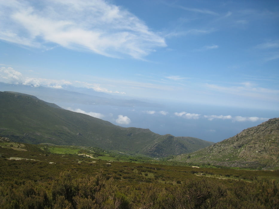
This track is just a proposal to go up and down in Cap Corse and Agriates by MTB or VTT even if most of the km have been performed on road. Having a full suspended MTB may be more nice in Agriates and to go up and down to San Giovanni pass.

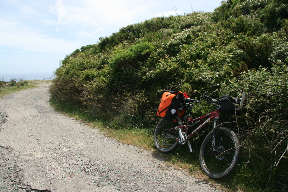
Many time there was some portage needed !!!!!!!

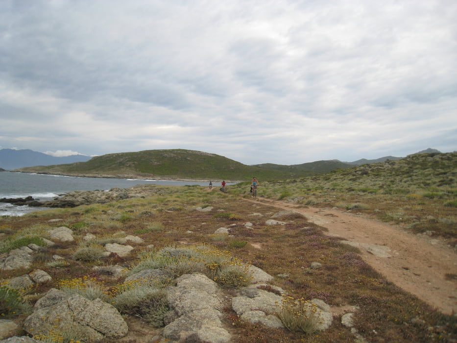
I can advise not to go by bike on the Agriates West Coast (from GHIGNU to OGLIASTRO: we had to carry most of time the bike on the shoulders ...... instead to follow my track on the coast it is better to follow more easiest road more far from the coast  line. Please get more information before to go in Agriates

Please use 100000 map scale for general tour planning and  wonderfull 25000 scale french map to find more proper road in details.

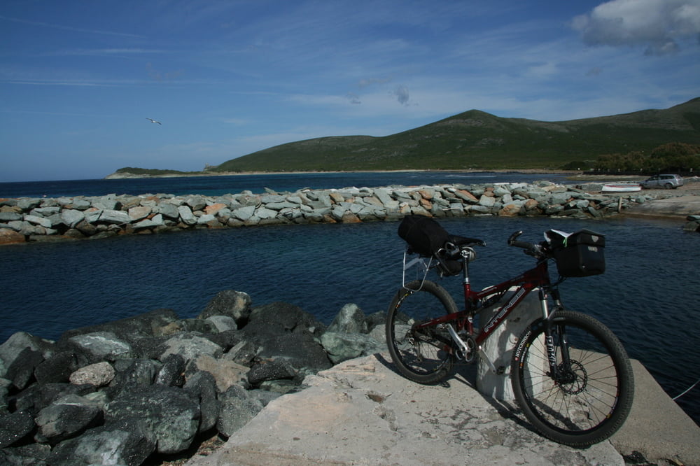
Fotogalerie van de tocht

Kaart en hoogteprofiel van de tocht

  • Open Street Map
  • Google
Minimumhoogte -1 m Maximale hoogte 942 m Detailweergave

Meer over de tour auteur

eliope
Lid sinds 2010

Stuur een privébericht

Commentaren

GPS-tracks

Trackpoints
  • GPX / Garmin Map Source (gpx) download
  • TCX / Garmin Training Center® (tcx) download
  • CRS / Garmin Training Center® (crs) download
  • Google Earth (kml) download
  • G7ToWin (g7t) download
  • TTQV (trk) download
  • Overlay (ovl) download
  • Fugawi (txt) download
  • Kompass (DAV) Track (tk) download
  • Pagina van de tocht (pdf) download
  • Origineel dossier van de auteur (gpx) download

Meer over de tour auteur

eliope
Lid sinds 2010

Stuur een privébericht
Share track
Toevoegen aan mijn favorieten
Uit mijn favorieten verwijderen
Tags bewerken
Mijn waardering
Tarief
Tocht: Cap Corse and Agriates
Type: Mountainbike
Lengte: 428,4 km
Evaluated on:
Duur:
Dagen
Uurtjes
Minuten
Beoordeling: Landschap Funfactor Conditie Techniek