

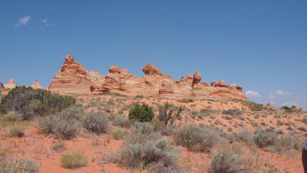

Hikers and photographers almost fight for permits to visit the magnificent and famous formations in Coyote Buttes. A permit to go CBSouth is a ticket to adventure, featuring an exciting drive on remote roads of an untrailed wilderness. The Bureau of Land Management issues permits for twenty individuals per day. Access is by remote high-clearance, four-wheel drive roads. There are no hiking trails or routes once you get there.
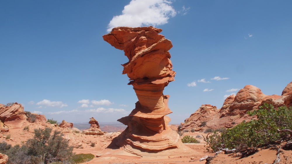
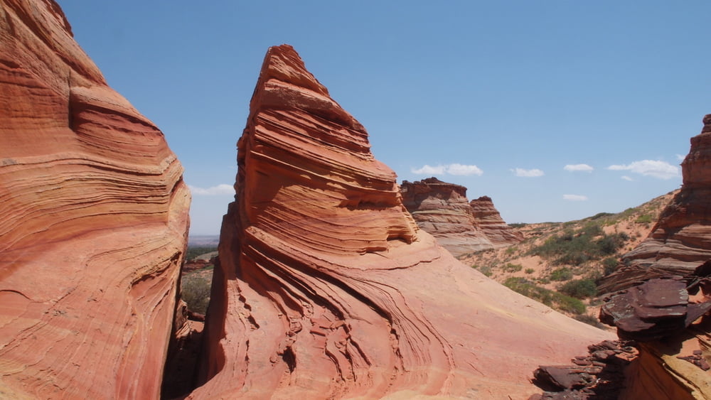
The teepee is the most common formation in Coyote Butte South.
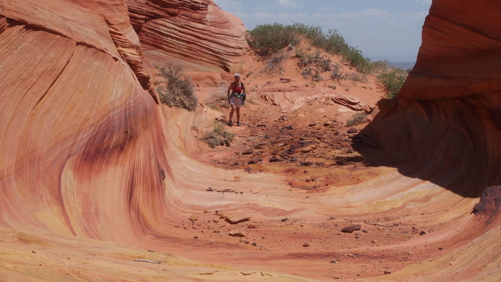
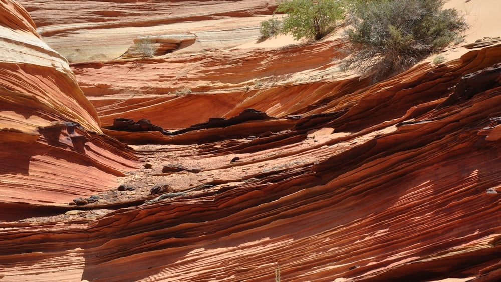
The coloration of the formations is also quite unusual, featuring a strong yellow color, with typical variations of red or brown.
There are no facilities. You must bring in your own water and pack out all your trash.
The teepee is the most common formation in Coyote Butte South.
The coloration of the formations is also quite unusual, featuring a strong yellow color, with typical variations of red or brown.
There are no facilities. You must bring in your own water and pack out all your trash.
Галерея маршрутов


Карта маршрута и высотный профиль
Minimum height 1719 m
Maximum height 1884 m
More about the tour author

|
willydn |
Комментарии

More about the tour author
|
|
willydn |
Add to my favorites
Remove from my favorites
Edit tags
Open track


My score
Rate