Login

Забыл пароль?

Cookies have to be accepted!
Your browser's cookie functionality is disabled. Please enable this functionality.

Not a member yet?

Register now
Login

Available for registred users only

Log in to use this feature.

Забыл пароль?

Cookies have to be accepted!
Your browser's cookie functionality is disabled. Please enable this functionality.

Not a member yet?

Register now
Filter
Категории
Advanced filters
  • Длина (км)
  • Высотомер
Сохранить фильтр Reset filter

TrackRank

QRCode

Technical data

Длина9,3 km Высотомер147 m Way down807 m Длительность02:15 h:m Дата17.07.2012
Оценки Author Ландшафт Веселье Кондиция Техника

Статистика

157 Виды Оценки 13 Загрузки Среднее
Rate
  • Формуляр маршрута
  • Дорога
  • Загрузки

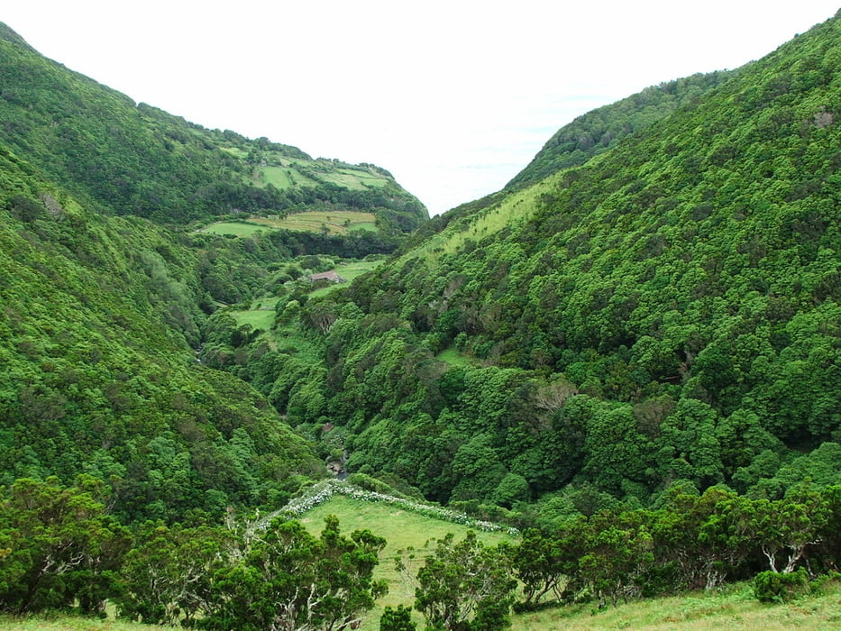
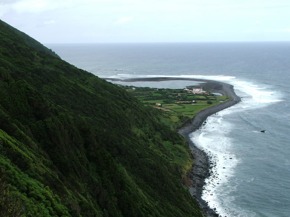
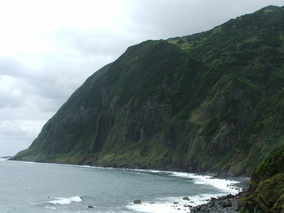
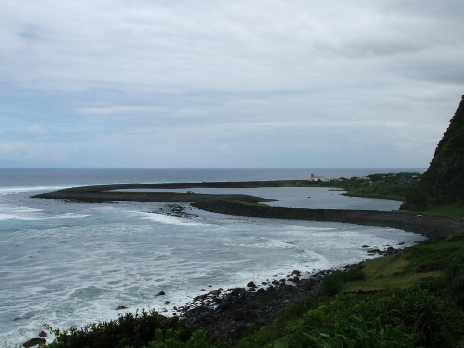
Serra do Topo - Caldeira de Cima - Fajã de Cima - Fajã da Caldeira do Santo Cristo - Fajã do Belo - Fajã dos Cubres

Nach kurzem Anstieg steil hinunter bis zur Küste, dann mit kleineren An- und Abstiegen an der Küste entlang


Галерея маршрутов

Карта маршрута и высотный профиль

  • Open Street Map
  • Google
Minimum height 10 m Maximum height 699 m Детальный вид

More about the tour author

lothardomnik
Member since 2009

Send private message

Комментарии

Keine öffentlichen Verkehrsmittel

GPS-Tracks

Trackpoints
  • GPX / Garmin Map Source (gpx) download
  • TCX / Garmin Training Center® (tcx) download
  • CRS / Garmin Training Center® (crs) download
  • Google Earth (kml) download
  • G7ToWin (g7t) download
  • TTQV (trk) download
  • Overlay (ovl) download
  • Fugawi (txt) download
  • Kompass (DAV) Track (tk) download
  • Формуляр маршрута (pdf) download
  • Original file of the author (gpx) download

More about the tour author

lothardomnik
Member since 2009

Send private message
Share track
Add to my favorites
Remove from my favorites
Edit tags
My score
Rate
Маршрут: São Jorge: Nordküste
Вид: Горный маршрут
Длина: 9,3 km
Evaluated on:
Длительность:
Day(s)
Hour(s)
Minute(s)
Оценка: Ландшафт Веселье Кондиция Техника