Login

Забыл пароль?

Cookies have to be accepted!
Your browser's cookie functionality is disabled. Please enable this functionality.

Not a member yet?

Register now
Login

Available for registred users only

Log in to use this feature.

Забыл пароль?

Cookies have to be accepted!
Your browser's cookie functionality is disabled. Please enable this functionality.

Not a member yet?

Register now
Filter
Категории
Advanced filters
  • Длина (км)
  • Высотомер
Сохранить фильтр Reset filter

TrackRank

QRCode

Technical data

Длина69,1 km Высотомер146 m Way down67 m Длительность3 days 19 h Дата04.09.2012
Оценки Author Ландшафт Веселье Кондиция Техника

Статистика

1200 Виды Оценки 132 Загрузки Среднее
Rate
  • Формуляр маршрута
  • Дорога
  • Загрузки
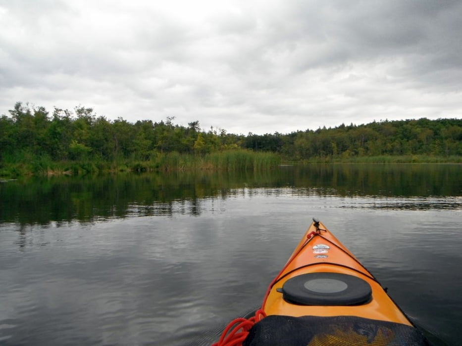
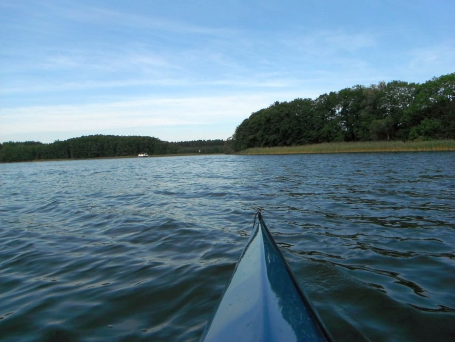
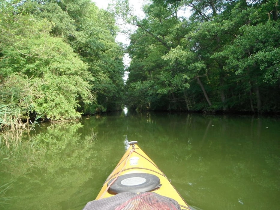
Müritz Nationalpark Rundtouren. Start in Mirow,Südrunde über Zotzensee, Vilzsee,Labussee,Gobenowsee und Rätzsee zurück nach Mirow.Dann Nordrunde ( Alte Fahrt ),über Mirower See,Großer Kotzower See,Woterfitzsee,Bolter Kanal, Müritz und Müritz-Havel-Wasserstr. zurück zum Ausgangspunkt Strandhotel Mirow.

Галерея маршрутов

Карта маршрута и высотный профиль

  • Open Street Map
  • Google
Minimum height -31 m Maximum height 65 m Детальный вид

More about the tour author

paddel
Member since 2011

Send private message

Комментарии

GPS-Tracks

Trackpoints
  • GPX / Garmin Map Source (gpx) download
  • TCX / Garmin Training Center® (tcx) download
  • CRS / Garmin Training Center® (crs) download
  • Google Earth (kml) download
  • G7ToWin (g7t) download
  • TTQV (trk) download
  • Overlay (ovl) download
  • Fugawi (txt) download
  • Kompass (DAV) Track (tk) download
  • Формуляр маршрута (pdf) download
  • Original file of the author (gpx) download

More about the tour author

paddel
Member since 2011

Send private message
Share track
Add to my favorites
Remove from my favorites
Edit tags
My score
Rate
Маршрут: Nationalpark Müritz
Вид: Бот и каноэ
Длина: 69,1 km
Evaluated on:
Длительность:
Day(s)
Hour(s)
Minute(s)
Оценка: Ландшафт Веселье Кондиция Техника