Login

Забыл пароль?

Cookies have to be accepted!
Your browser's cookie functionality is disabled. Please enable this functionality.

Not a member yet?

Register now
Login

Available for registred users only

Log in to use this feature.

Забыл пароль?

Cookies have to be accepted!
Your browser's cookie functionality is disabled. Please enable this functionality.

Not a member yet?

Register now
Filter
Категории
Advanced filters
  • Длина (км)
  • Высотомер
Сохранить фильтр Reset filter

TrackRank

QRCode

Technical data

Длина64,9 km Высотомер920 m Way down960 m Длительность05:00 h:m Дата14.12.2014
Оценки Author Ландшафт Веселье Кондиция Техника

Статистика

135 Виды Оценки 2 Загрузки Среднее
Rate
  • Формуляр маршрута
  • Дорога
  • Загрузки

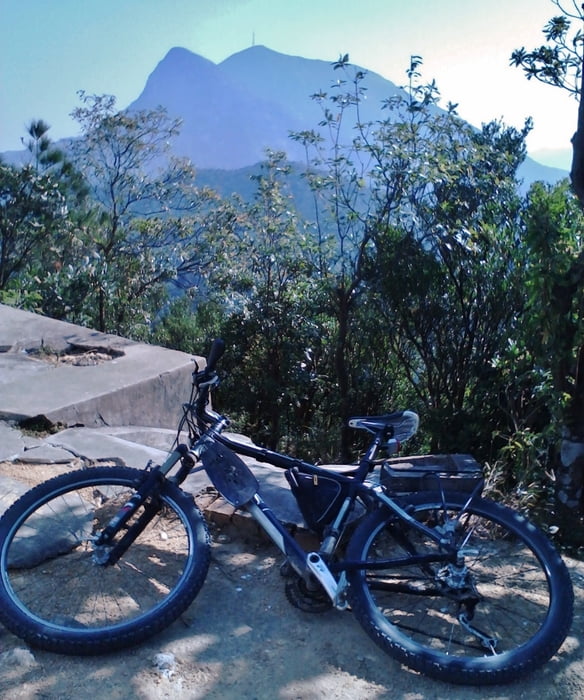
The ride from the WoHua in Taicheng firstly to the entrance of the BeiFengShan mountain park and then to the peak 532 m (steep but possible). The last part (approx. 80 m) - the stairs. On the top there is no other possibility to get down, so that you can leave the bike at the stairs. Nice view on the summit but lot of rabbish... 

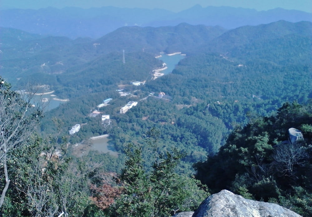
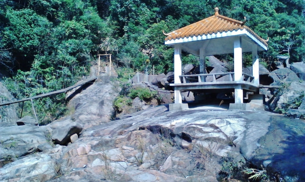
Then back to the main road and to the "via ferrata" (after you arrived the last pass, you have to ride down approx. 100 m, wchich you have accent again when riding home). Unfortunately, at the end of the trail (2 km after the "via ferrata"), there is no way down. On the next day, we tried to find it, but still could not finish it. May be later :). The "via ferrata" is very Chinese but amaising, just try. It seems to be a pretty small hiking trail alond the stream. 

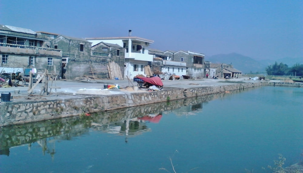
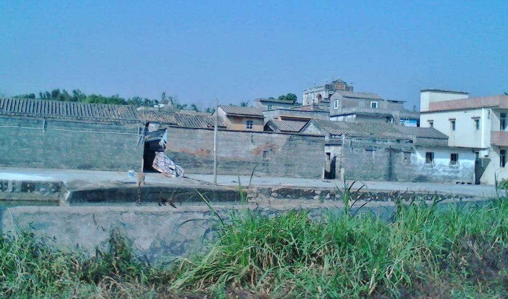
For the return, I have taken another way. It is strongly recommended to do this - clean, small, nice villages along the way. In the end however - 4 km along the federal way with the wide side lane - no problem to ride the way (10 - 15 min). 


Галерея маршрутов

Карта маршрута и высотный профиль

  • Open Street Map
  • Google
Minimum height Maximum height 520 m Детальный вид

More about the tour author

py_dolfo
Member since 2011

Send private message

Комментарии

GPS-Tracks

Trackpoints
  • GPX / Garmin Map Source (gpx) download
  • TCX / Garmin Training Center® (tcx) download
  • CRS / Garmin Training Center® (crs) download
  • Google Earth (kml) download
  • G7ToWin (g7t) download
  • TTQV (trk) download
  • Overlay (ovl) download
  • Fugawi (txt) download
  • Kompass (DAV) Track (tk) download
  • Формуляр маршрута (pdf) download
  • Original file of the author (gpx) download

More about the tour author

py_dolfo
Member since 2011

Send private message
Share track
Add to my favorites
Remove from my favorites
Edit tags
My score
Rate
Маршрут: BeiFengShan_13Dec2014
Вид: Горный велосипед
Длина: 64,9 km
Evaluated on:
Длительность:
Day(s)
Hour(s)
Minute(s)
Оценка: Ландшафт Веселье Кондиция Техника