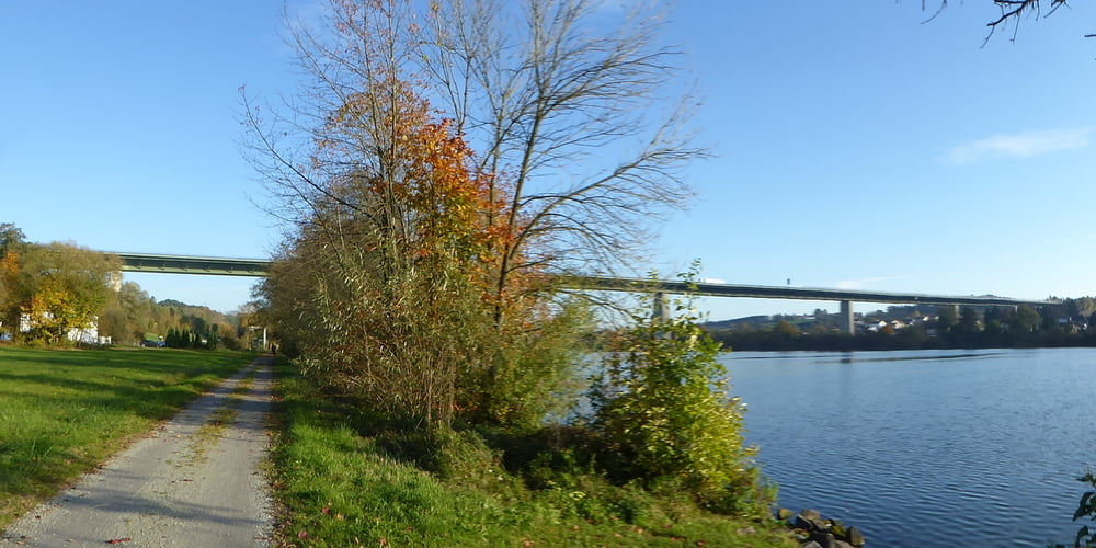
Login

Забыл пароль?

Cookies have to be accepted!
Your browser's cookie functionality is disabled. Please enable this functionality.

Not a member yet?

Register now
Login

Available for registred users only

Log in to use this feature.

Забыл пароль?

Cookies have to be accepted!
Your browser's cookie functionality is disabled. Please enable this functionality.

Not a member yet?

Register now
Filter
Категории
Advanced filters
  • Длина (км)
  • Высотомер
Сохранить фильтр Reset filter

TrackRank

QRCode

Technical data

Длина52,6 km Высотомер983 m Way down676 m Длительность00:00 h:m Дата25.10.2016
Оценки Author Ландшафт Веселье Кондиция Техника

Статистика

244 Виды Оценки 23 Загрузки Среднее
Rate
  • Формуляр маршрута
  • Дорога
  • Загрузки

3 Tages Tour

Start in Erlau

Fahrt nach Obernzell

Weiter auf Donau Wald Radweg Richtung Untergriesbach

Fahrt auf Güterwegen bis zum Grenzübergang nach Österreich - Oberkappel

Etappenziel Rohrbach


Галерея маршрутов

Карта маршрута и высотный профиль

  • Open Street Map
  • Google
Minimum height 6 m Maximum height 510 m Детальный вид

More about the tour author

Hoar
Member since 2009

Send private message

Комментарии

GPS-Tracks

Trackpoints
  • GPX / Garmin Map Source (gpx) download
  • TCX / Garmin Training Center® (tcx) download
  • CRS / Garmin Training Center® (crs) download
  • Google Earth (kml) download
  • G7ToWin (g7t) download
  • TTQV (trk) download
  • Overlay (ovl) download
  • Fugawi (txt) download
  • Kompass (DAV) Track (tk) download
  • Формуляр маршрута (pdf) download
  • Original file of the author (gpx) download

More about the tour author

Hoar
Member since 2009

Send private message
Share track
Add to my favorites
Remove from my favorites
Edit tags
My score
Rate
Маршрут: Adalbert Stifter Radweg Ilztal Radweg Ohetal Radweg Teil 3
Вид: Горный велосипед
Длина: 52,6 km
Evaluated on:
Длительность:
Day(s)
Hour(s)
Minute(s)
Оценка: Ландшафт Веселье Кондиция Техника