Login

Забыл пароль?

Cookies have to be accepted!
Your browser's cookie functionality is disabled. Please enable this functionality.

Not a member yet?

Register now
Login

Available for registred users only

Log in to use this feature.

Забыл пароль?

Cookies have to be accepted!
Your browser's cookie functionality is disabled. Please enable this functionality.

Not a member yet?

Register now
Filter
Категории
Advanced filters
  • Длина (км)
  • Высотомер
Сохранить фильтр Reset filter

TrackRank

QRCode

Technical data

Длина9,8 km Высотомер28 m Way down78 m Длительность04:00 h:m Дата25.12.2016
Оценки Author Ландшафт Веселье Кондиция Техника

Статистика

513 Виды Оценки 35 Загрузки Среднее
Rate
  • Формуляр маршрута
  • Дорога
  • Загрузки
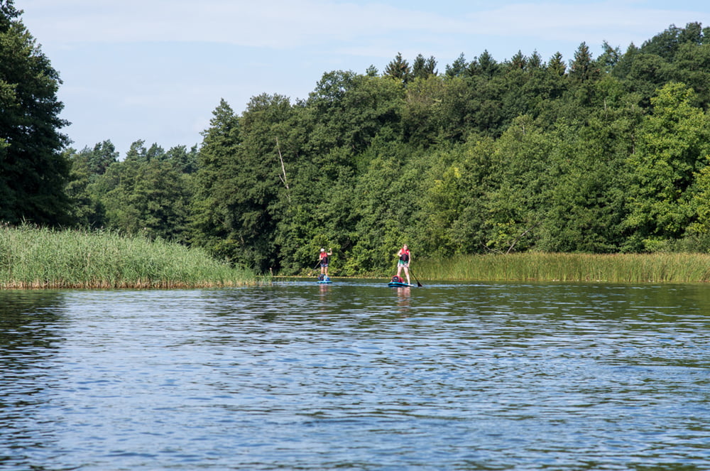
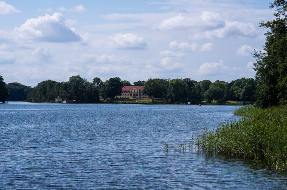
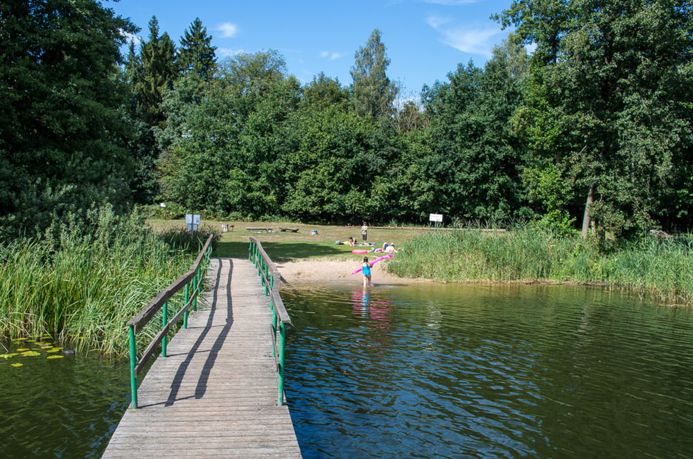
Tagestour mit schönem Badeplatz am Drewensee und passender Fischräucherei auf dem Heimweg.

Further information at

http://ellbogensee.de/?gclid=Cj0KEQiA-f3CBRCbluKf4vu008kBEiQAl-iGqyRxTX89FCypTpHpFDNl7pR7PhW9NUrWbQwdaVCapS8aAkGW8P8HAQ

Галерея маршрутов

Карта маршрута и высотный профиль

  • Open Street Map
  • Google
Minimum height 51 m Maximum height 111 m Детальный вид

More about the tour author

sugesei
Member since 2010

Send private message

Комментарии

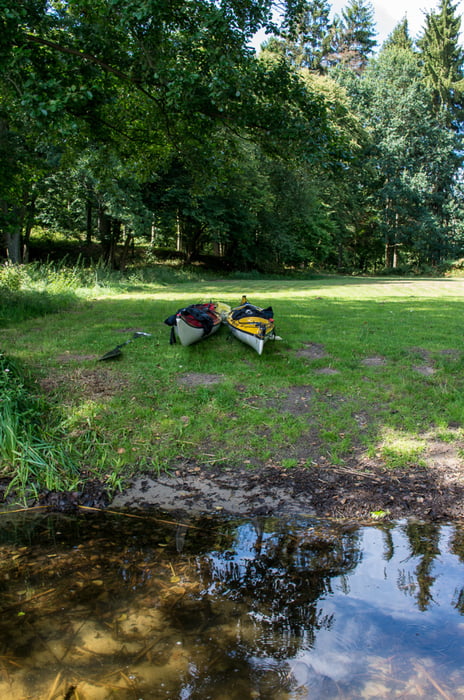
Einsetzen am Ellenbogensee.

GPS-Tracks

Trackpoints
  • GPX / Garmin Map Source (gpx) download
  • TCX / Garmin Training Center® (tcx) download
  • CRS / Garmin Training Center® (crs) download
  • Google Earth (kml) download
  • G7ToWin (g7t) download
  • TTQV (trk) download
  • Overlay (ovl) download
  • Fugawi (txt) download
  • Kompass (DAV) Track (tk) download
  • Формуляр маршрута (pdf) download
  • Original file of the author (gpx) download

More about the tour author

sugesei
Member since 2010

Send private message
Share track
Add to my favorites
Remove from my favorites
Edit tags
My score
Rate
Маршрут: Vom Ellenbogensee zum Drewensee
Вид: Бот и каноэ
Длина: 9,8 km
Evaluated on:
Длительность:
Day(s)
Hour(s)
Minute(s)
Оценка: Ландшафт Веселье Кондиция Техника