Login

Забыл пароль?

Cookies have to be accepted!
Your browser's cookie functionality is disabled. Please enable this functionality.

Not a member yet?

Register now
Login

Available for registred users only

Log in to use this feature.

Забыл пароль?

Cookies have to be accepted!
Your browser's cookie functionality is disabled. Please enable this functionality.

Not a member yet?

Register now
Filter
Категории
Advanced filters
  • Длина (км)
  • Высотомер
Сохранить фильтр Reset filter

TrackRank

QRCode

Technical data

Длина9,4 km Высотомер27 m Way down27 m Длительность00:04 h:m Дата25.12.2016
Оценки Author Ландшафт Веселье Кондиция Техника

Статистика

697 Виды Оценки 20 Загрузки Среднее
Rate
  • Формуляр маршрута
  • Дорога
  • Загрузки
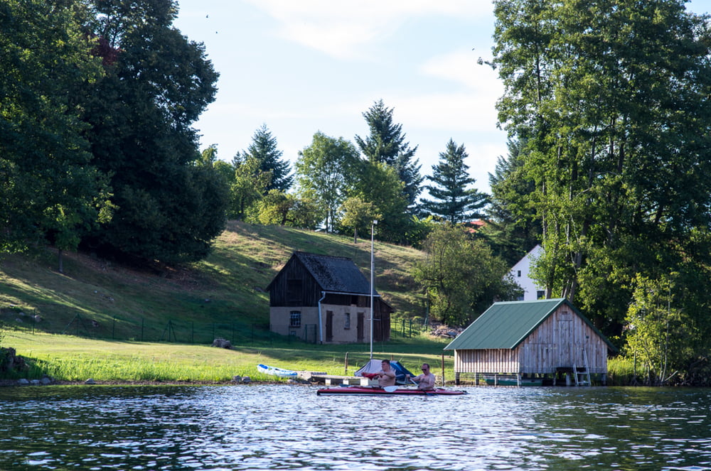
Durch den Schilfgürtel gelangt man in den Dreetzsee und dort ist gut baden. In der Seemitte liegt eine Flachstelle, die zum Austeigen verleitet.

Further information at

http://www.campingplatz-carwitz.de

Галерея маршрутов

Карта маршрута и высотный профиль

  • Open Street Map
  • Google
Minimum height 36 m Maximum height 118 m Детальный вид

More about the tour author

sugesei
Member since 2010

Send private message

Комментарии

Nach Carwitz eben. Einsatzstelle Campingplatz Klein und Fein. 

GPS-Tracks

Trackpoints
  • GPX / Garmin Map Source (gpx) download
  • TCX / Garmin Training Center® (tcx) download
  • CRS / Garmin Training Center® (crs) download
  • Google Earth (kml) download
  • G7ToWin (g7t) download
  • TTQV (trk) download
  • Overlay (ovl) download
  • Fugawi (txt) download
  • Kompass (DAV) Track (tk) download
  • Формуляр маршрута (pdf) download
  • Original file of the author (gpx) download

More about the tour author

sugesei
Member since 2010

Send private message
Share track
Add to my favorites
Remove from my favorites
Edit tags
My score
Rate
Маршрут: Von Carwitz zum Dreetzsee
Вид: Бот и каноэ
Длина: 9,4 km
Evaluated on:
Длительность:
Day(s)
Hour(s)
Minute(s)
Оценка: Ландшафт Веселье Кондиция Техника