Login

Забыл пароль?

Cookies have to be accepted!
Your browser's cookie functionality is disabled. Please enable this functionality.

Not a member yet?

Register now
Login

Available for registred users only

Log in to use this feature.

Забыл пароль?

Cookies have to be accepted!
Your browser's cookie functionality is disabled. Please enable this functionality.

Not a member yet?

Register now
Filter
Категории
Advanced filters
  • Длина (км)
  • Высотомер
Сохранить фильтр Reset filter

TrackRank

QRCode

Technical data

Длина38,0 km Высотомер392 m Way down1258 m Длительность04:30 h:m Дата06.11.2017
Оценки Author Ландшафт Веселье Кондиция Техника

Статистика

577 Виды Оценки 73 Загрузки Среднее
Rate
  • Формуляр маршрута
  • Дорога
  • Загрузки

Mit der Flambahn nach Myrdal.

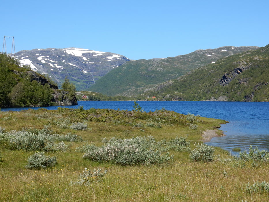
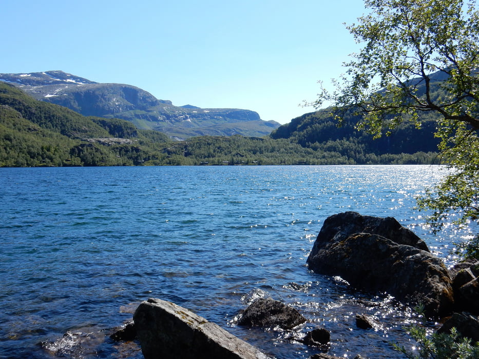
Vom Bahnhof Myrdal in Richtung Finse fahren.

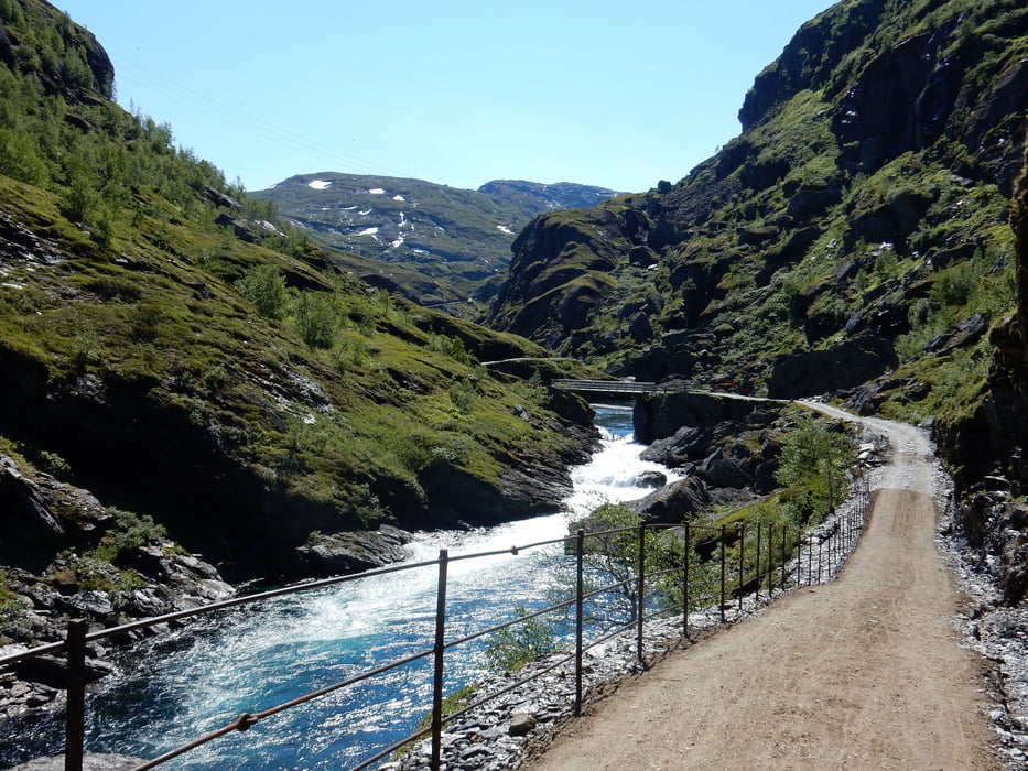
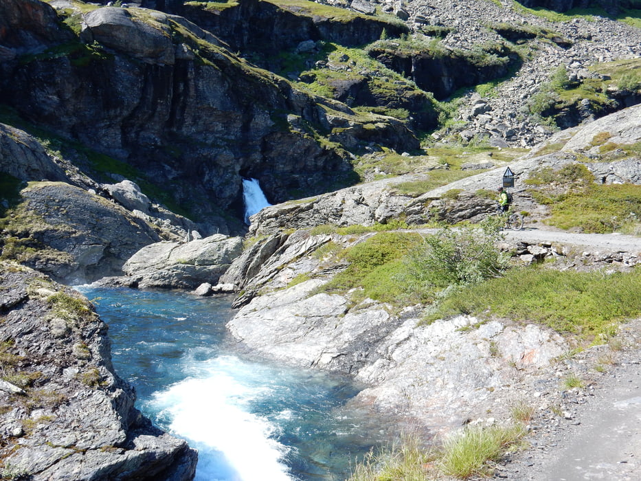
Zurück nach Myrdal und Abfahrt nach Flam.

Галерея маршрутов

Карта маршрута и высотный профиль

  • Open Street Map
  • Google
Minimum height 6 m Maximum height 978 m Детальный вид

More about the tour author

JV
Member since 2006

Send private message

Комментарии

Startpunkt Bahnhof Flambahn (Fahrradmitnahme möglich oder Verleih)

GPS-Tracks

Trackpoints
  • GPX / Garmin Map Source (gpx) download
  • TCX / Garmin Training Center® (tcx) download
  • CRS / Garmin Training Center® (crs) download
  • Google Earth (kml) download
  • G7ToWin (g7t) download
  • TTQV (trk) download
  • Overlay (ovl) download
  • Fugawi (txt) download
  • Kompass (DAV) Track (tk) download
  • Формуляр маршрута (pdf) download
  • Original file of the author (gpx) download

More about the tour author

JV
Member since 2006

Send private message
Share track
Add to my favorites
Remove from my favorites
Edit tags
My score
Rate
Маршрут: Flam - Rallarvegen
Вид: Горный велосипед
Длина: 38,0 km
Evaluated on:
Длительность:
Day(s)
Hour(s)
Minute(s)
Оценка: Ландшафт Веселье Кондиция Техника