Login

Забыл пароль?

Cookies have to be accepted!
Your browser's cookie functionality is disabled. Please enable this functionality.

Not a member yet?

Register now
Login

Available for registred users only

Log in to use this feature.

Забыл пароль?

Cookies have to be accepted!
Your browser's cookie functionality is disabled. Please enable this functionality.

Not a member yet?

Register now
Filter
Категории
Advanced filters
  • Длина (км)
  • Высотомер
Сохранить фильтр Reset filter

TrackRank

QRCode

Technical data

Длина6,6 km Высотомер17 m Way down20 m Длительность00:00 h:m Дата21.11.2017
Оценки Author Ландшафт Веселье Кондиция Техника

Статистика

438 Виды Оценки 4 Загрузки Среднее
Rate
  • Формуляр маршрута
  • Дорога
  • Загрузки
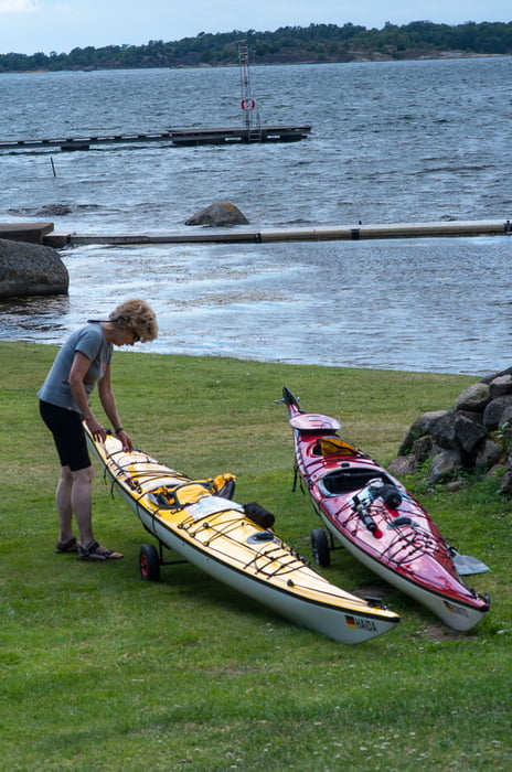
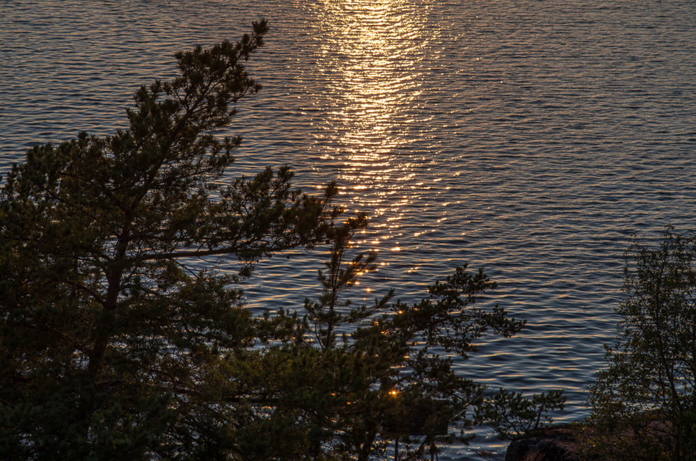
Nach einem windigen Tag flaut es gegen Abend soweit ab, daß wir uns aufs Wasser wagen.

Галерея маршрутов

Карта маршрута и высотный профиль

  • Open Street Map
  • Google
Minimum height -12 m Maximum height 17 m Детальный вид

More about the tour author

sugesei
Member since 2010

Send private message

Комментарии

Vogelflug

GPS-Tracks

Trackpoints
  • GPX / Garmin Map Source (gpx) download
  • TCX / Garmin Training Center® (tcx) download
  • CRS / Garmin Training Center® (crs) download
  • Google Earth (kml) download
  • G7ToWin (g7t) download
  • TTQV (trk) download
  • Overlay (ovl) download
  • Fugawi (txt) download
  • Kompass (DAV) Track (tk) download
  • Формуляр маршрута (pdf) download
  • Original file of the author (gpx) download

More about the tour author

sugesei
Member since 2010

Send private message
Share track
Add to my favorites
Remove from my favorites
Edit tags
My score
Rate
Маршрут: Abendfahrt Järnavik
Вид: Бот и каноэ
Длина: 6,6 km
Evaluated on:
Длительность:
Day(s)
Hour(s)
Minute(s)
Оценка: Ландшафт Веселье Кондиция Техника