Login

Забыл пароль?

Cookies have to be accepted!
Your browser's cookie functionality is disabled. Please enable this functionality.

Not a member yet?

Register now
Login

Available for registred users only

Log in to use this feature.

Забыл пароль?

Cookies have to be accepted!
Your browser's cookie functionality is disabled. Please enable this functionality.

Not a member yet?

Register now
Filter
Категории
Advanced filters
  • Длина (км)
  • Высотомер
Сохранить фильтр Reset filter

TrackRank

QRCode

Technical data

Длина26,8 km Высотомер1039 m Way down1020 m Длительность00:00 h:m Дата10.04.2018
Оценки Author Ландшафт Веселье Кондиция Техника

Статистика

655 Виды Оценки 105 Загрузки Среднее
Rate
  • Формуляр маршрута
  • Дорога
  • Загрузки

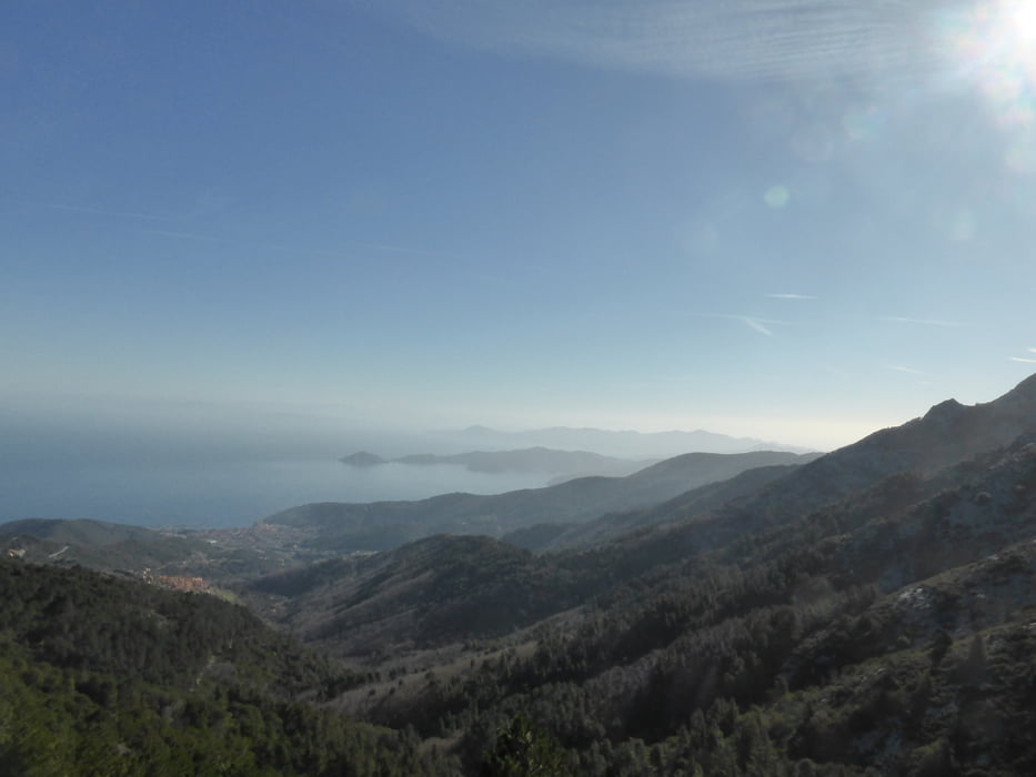
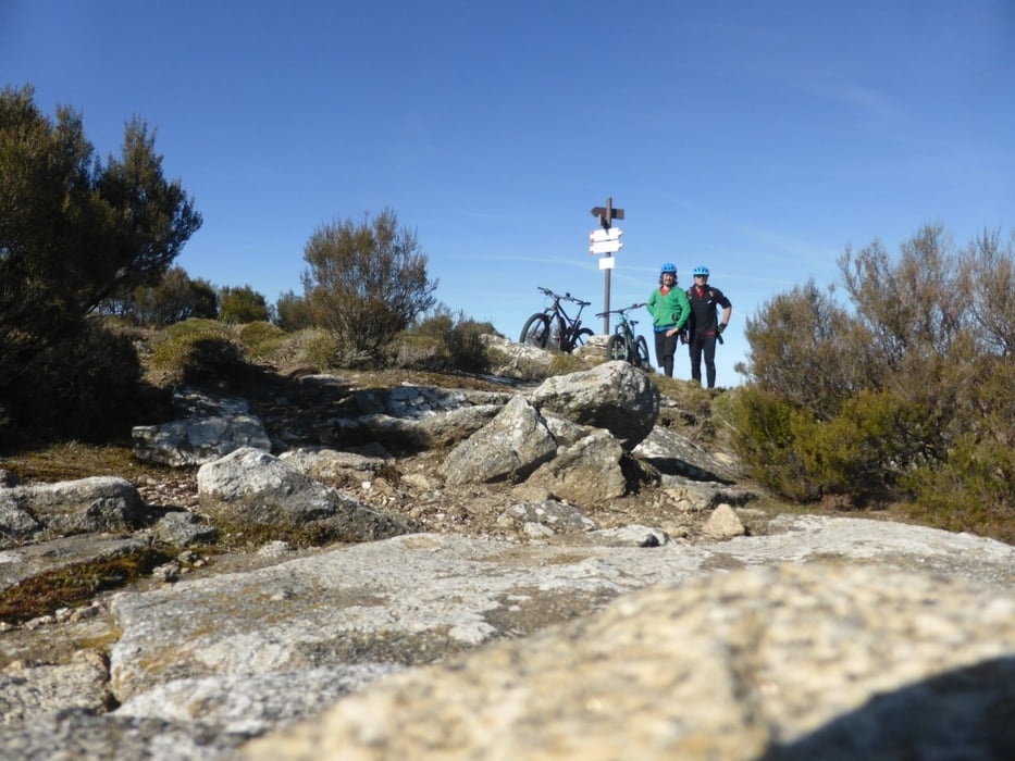
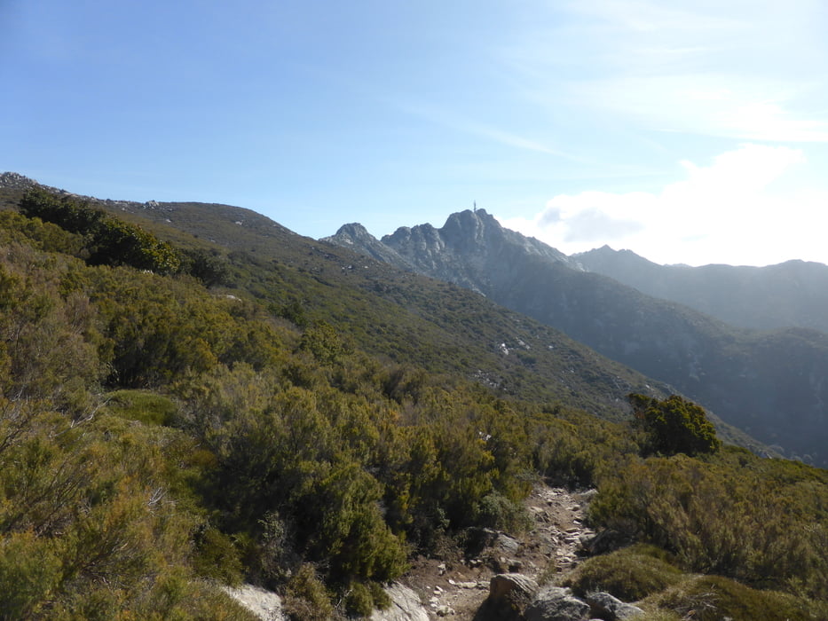
Endurotour mit Bergauf - Trail ca. 250hm und 150hm Schieben zum höchsten Punkt La Tavola neben dem Mt. Capane.

Abfahrt S2-S3, alter Eselweg, es liegen teilweise Steine im Weg. 98%fahrbar.


Галерея маршрутов

Карта маршрута и высотный профиль

  • Open Street Map
  • Google
Minimum height 16 m Maximum height 923 m Детальный вид

More about the tour author

skyhopper
Member since 2005

Send private message

Комментарии

Parken in Pomonte, Marcina

GPS-Tracks

Trackpoints
  • GPX / Garmin Map Source (gpx) download
  • TCX / Garmin Training Center® (tcx) download
  • CRS / Garmin Training Center® (crs) download
  • Google Earth (kml) download
  • G7ToWin (g7t) download
  • TTQV (trk) download
  • Overlay (ovl) download
  • Fugawi (txt) download
  • Kompass (DAV) Track (tk) download
  • Формуляр маршрута (pdf) download
  • Original file of the author (gpx) download

More about the tour author

skyhopper
Member since 2005

Send private message
Share track
Add to my favorites
Remove from my favorites
Edit tags
My score
Rate
Маршрут: Elba - Enduro - Pomonte - Marciana - La Tavola
Вид: Горный велосипед
Длина: 26,8 km
Evaluated on:
Длительность:
Day(s)
Hour(s)
Minute(s)
Оценка: Ландшафт Веселье Кондиция Техника